Skip to content
Menu

We earn a commission if you book through this link. You pay the same price.

Search

Marina

Caxambas Park

Last updated

The county ramp at Marco's southern tip, rebuilt after Ian, and the shortest launch to Kice Island and Cape Romano.

Caxambas Park is four acres of concrete, dock and trailer parking at the bottom end of Marco Island, and for anyone who came here to be on the water it is the most important address on the island. The ramp sits just inside Caxambas Pass, which means a boat launched here is in open water in minutes and at Kice Island, Cape Romano and the mouth of the southern Ten Thousand Islands well inside half an hour. Launching from the north end and running down the outside takes considerably longer and exposes you to the Gulf chop the whole way.

Hurricane Ian shut the place. The storm surge in September 2022 wrecked the ramp structure and the fuel system, and the park stayed closed for more than two years while Collier County rebuilt it. The ramp reopened on 15 February 2025, with the ship store restarting on limited hours and stocking up over the following months, and the fuel service restored in a second phase of work. That timeline matters if you are reading older guidance: almost everything written about Caxambas between late 2022 and early 2025 describes a closed park.

The name is older than any of it. Caxambas is among the oldest surviving place names on this coast, generally glossed as a reference to fresh water, and two artesian springs once rose near the pass. A clam cannery ran here from 1903 until 1929, dredging chowder clams out of the surrounding bays, and for a couple of decades this end of the island worked like an industrial fishing settlement rather than a resort.

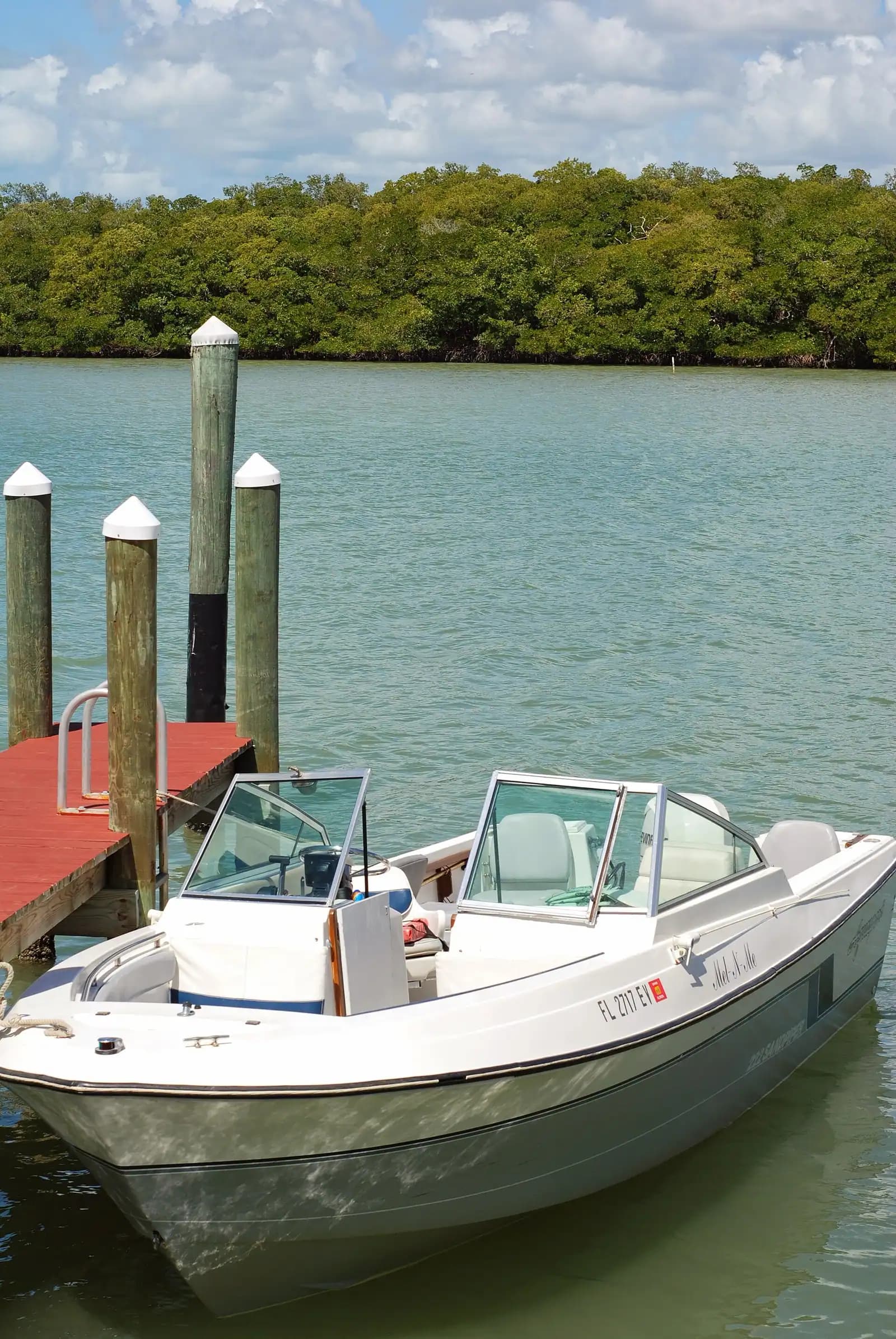
What you will find today is a working county facility rather than a scenic one: two launch lanes, courtesy docks, a stacked arrangement of trailer parking, restrooms, a fish-cleaning station and a store selling bait, ice, drinks and the fitting you forgot.

Getting there and parking

Follow Collier Boulevard south through the island past the condominium strip, then continue into the Estates area at the southern tip. Collier Court runs down to the park at the end. From the Jolley Bridge allow around twenty minutes with a trailer, more in season.

Towing across the island is straightforward but Collier Boulevard's roundabout and the lights near San Marco Road are tight with a long trailer in traffic. If you are coming from the mainland with a boat, the Goodland route on County Road 92 over the Stan Gober Memorial Bridge is an alternative worth knowing, though Goodland Boating Park may suit you better if the southern islands are the target.

Without a boat, parking for cars is limited and prioritised for trailers in season. Arrive early or come by bicycle.

Launching here, and what it costs

Collier County charges per launch at its ramp parks, with an annual non-commercial pass available that pays for itself in about ten trips. The per-launch fee has sat in single figures and the annual pass in the region of seventy-five dollars. Rates are posted at the park and set by the county, so confirm rather than assume.

The ramp operates sunrise to sunset. That is a real constraint if you are planning a tarpon evening or a pre-dawn run out to the shoals: you need to be back on the trailer before the gate closes.

Two launch lanes is not many for a Saturday in March. The stacked trailer parking helps, but the queue on a holiday weekend forms early and moves slowly, and there is nowhere to overflow to at this end of the island. Locals launch at first light and come back in before lunch, then leave the ramp to the day-trippers.

The store on site sells bait, ice and basic tackle, and fuel service was restored after the post-Ian rebuild. For anything more specialised, buy it before you cross the bridge; Marco's chandlery options are limited and Naples is forty minutes away.

Rinse-down and fish cleaning are on site, which matters more than it sounds like it does on a hot afternoon with a cooler full of grouper.

Caxambas Pass and where it puts you

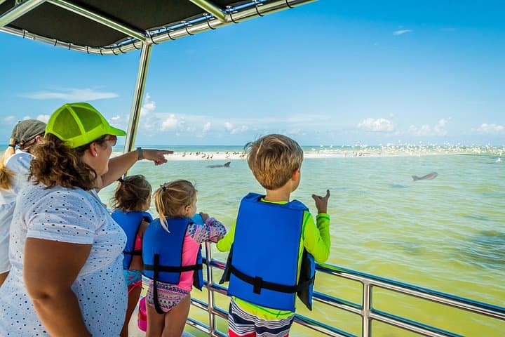
Caxambas is the southernmost of Marco's three passes, the other two being Big Marco to the north-west and Capri beyond it. Each behaves differently, and Caxambas is the one that opens towards the wild end of the coast.

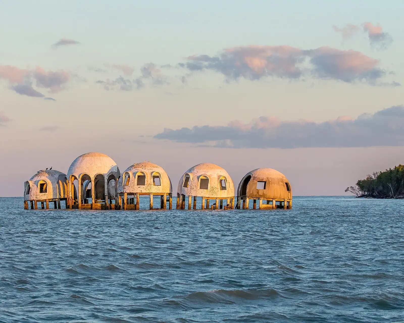
Straight out of the pass and a little south is Kice Island, undeveloped, boat-access only, with a couple of miles of Gulf beach and the best big-shell hunting within easy reach of Marco. Continue south-east and you reach Cape Romano and its shoals, where the collapsed dome houses stand in the water. Turn inland instead and the back route threads into Barfield Bay, the Goodland side and eventually the whole mangrove maze of the Ten Thousand Islands.

The pass demands attention. Shoals shift here with every season, the marked channel is not where the chart plotter's base map thinks it is, and the water outside Cape Romano is famously shallow and changeable. Local knowledge is genuinely worth buying: if it is your first time on this water, a half day with a guide out of Caxambas will save you a lower unit.

Manatee speed zones apply through the inside waters, and they are enforced by the FWC. Winter concentrates manatees in the warmer canal systems behind the island, so the zones are not decorative.

Using Caxambas without your own boat

  • Charters leave from here. Backcountry fishing, shelling runs and beach drops to Kice and Cape Romano work out of the south end because the running time is shorter. Ask for a Caxambas departure rather than a north-end one if your target is the southern islands.
  • Kayaks and paddleboards can launch from the ramp area, and the inside water towards Barfield Bay is sheltered when the Gulf is not. Do not paddle out through the pass itself; the current runs hard and the boat traffic is constant.
  • Watch the boats. The seawall and dock area is one of the better places on Marco to spend twenty minutes seeing what actually comes off this coast: stone crab traps in season, tarpon stories, the occasional very large snook.
  • Stone crab season runs 15 October to 1 May, and the traps stacked around the park in autumn are the clearest sign that the working side of Marco has not disappeared.
  • Manatees show up inside the pass in cool weather, along the docks and in the canals behind. Do not feed them or give them fresh water; both are illegal and both teach them to approach boats.
  • There is no beach here. Caxambas is a ramp, not a swimming spot.

Tours that visit Caxambas

Operators run these trips past Caxambas, or stop there as part of a longer route. We list what the booking data supports — not everything that mentions the name.

Some links below go to Viator, our booking partner. We earn a commission on bookings made through them — at no extra cost to you, and with no influence on what we recommend.

Shared departurespriced per seat, best value for one or two

Private and small-group optionsoften cheaper per head for a family or a group of six

Near Caxambas

Straight-line distances, so allow more on the road — the island is long and has one main parkway.

  • Calm shallow water meeting fine pale sand on a wide Gulf beach

    Beach

    South Marco Beach Access

    Free

    Park on Swallow Avenue, cross Collier Boulevard, walk a short boardwalk and you are on open Gulf sand. No tides to solve.

    1.5–5 hoursBeach access is free. Parking is paid, around $10 per day for non-permit holders.1.2 mi away

  • An empty stretch of Gulf beach with a low dune line and no buildings in sight

    Beach

    Kice Island

    Free

    Two miles of empty Gulf beach across Caxambas Pass, boat access only, with no shade, no water and the best shelling near Marco.

    2–5 hoursFree. You pay only to launch or to book a charter.1.4 mi away

  • Heavy cloud building over open water in the late afternoon

    Landmark

    Cape Romano Dome House

    Free

    The domes off Cape Romano fell in Hurricane Ian. What is left is pilings and rubble in open water, and still worth the run south.

    0.5–1 hoursFree to look at from the water. The cost is the boat or the charter seat.4.7 mi away

  • Low wooden storefronts with corrugated roofs along a quiet two-lane road in a small coastal settlement

    Neighbourhood

    Goodland

    Free

    A few hundred people, one road in, stone crab traps stacked in the yards. The opposite of the resort side of the same island.

    1.5–5 hoursFree to visit. Boat launch fees apply at the county ramp.4.5 mi away

Caxambas: common questions

Is the Caxambas boat ramp open?

Yes. The ramp reopened on 15 February 2025 after more than two years closed for reconstruction following Hurricane Ian, which destroyed the ramp structure and the fuel system in September 2022. The on-site ship store restarted on reduced hours and expanded its stock through the following season, and fuel service was restored in a second phase of the work. Anything written about Caxambas between late 2022 and early 2025 describes a park that was shut.

How much does it cost to launch a boat at Caxambas Park?

Collier County charges a per-launch fee in single figures at its ramp parks, and sells an annual non-commercial launch pass that has been priced in the region of seventy-five dollars. The pass covers the county's other ramps as well, so it pays off quickly for anyone trailering more than about ten times a season. Rates are posted at the park and change periodically, so check the sign rather than a published figure.

Where can you go by boat from Caxambas Park?

Caxambas Pass opens onto the southern end of the coast, which is the quiet end. Kice Island is a few minutes out and has boat-access-only Gulf beach and heavy shelling. Cape Romano and its shoals, with the half-submerged dome ruins, lie south-east. Inland, the back route runs into Barfield Bay, Goodland and the mangrove channels of the Ten Thousand Islands. Shoals shift constantly out here, so run it with a chart and a slow hand the first time.

Can you launch a kayak at Caxambas Park?

Yes, from the ramp area, and the sheltered inside water towards Barfield Bay is a good paddle when the Gulf is rough. Avoid the pass itself: the tidal current runs hard through it and it carries constant powerboat traffic, which is a poor combination in a kayak. Launch fees apply as posted. If your plan is a longer backcountry paddle, the launches at Goodland and on Shell Island Road are better starting points.