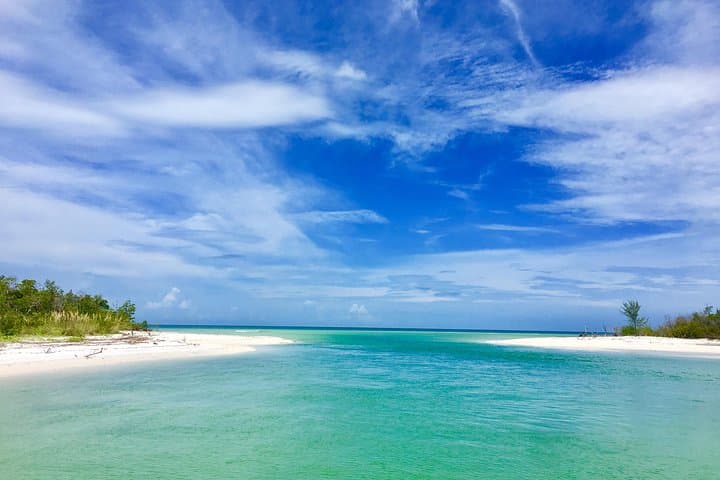
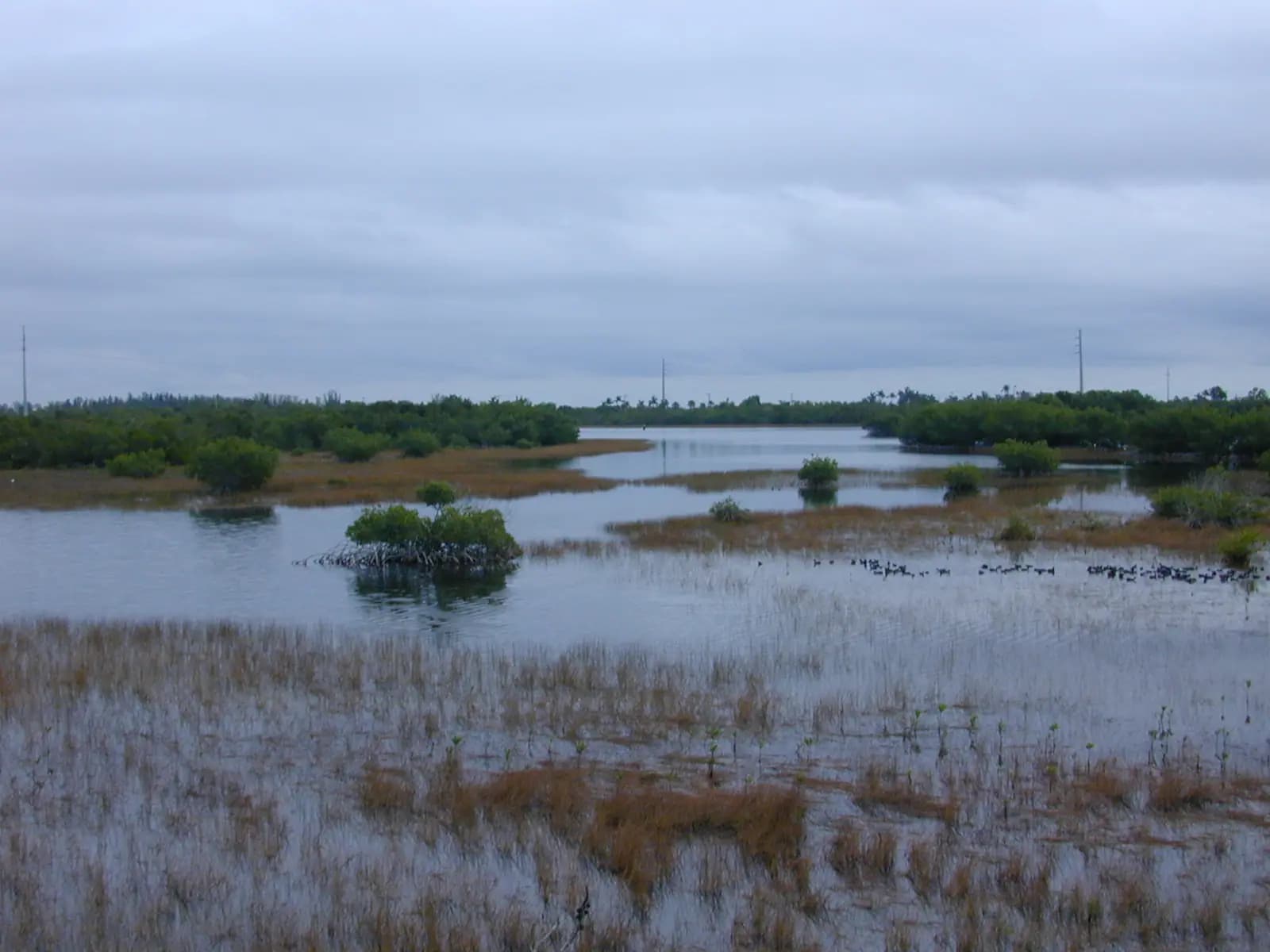
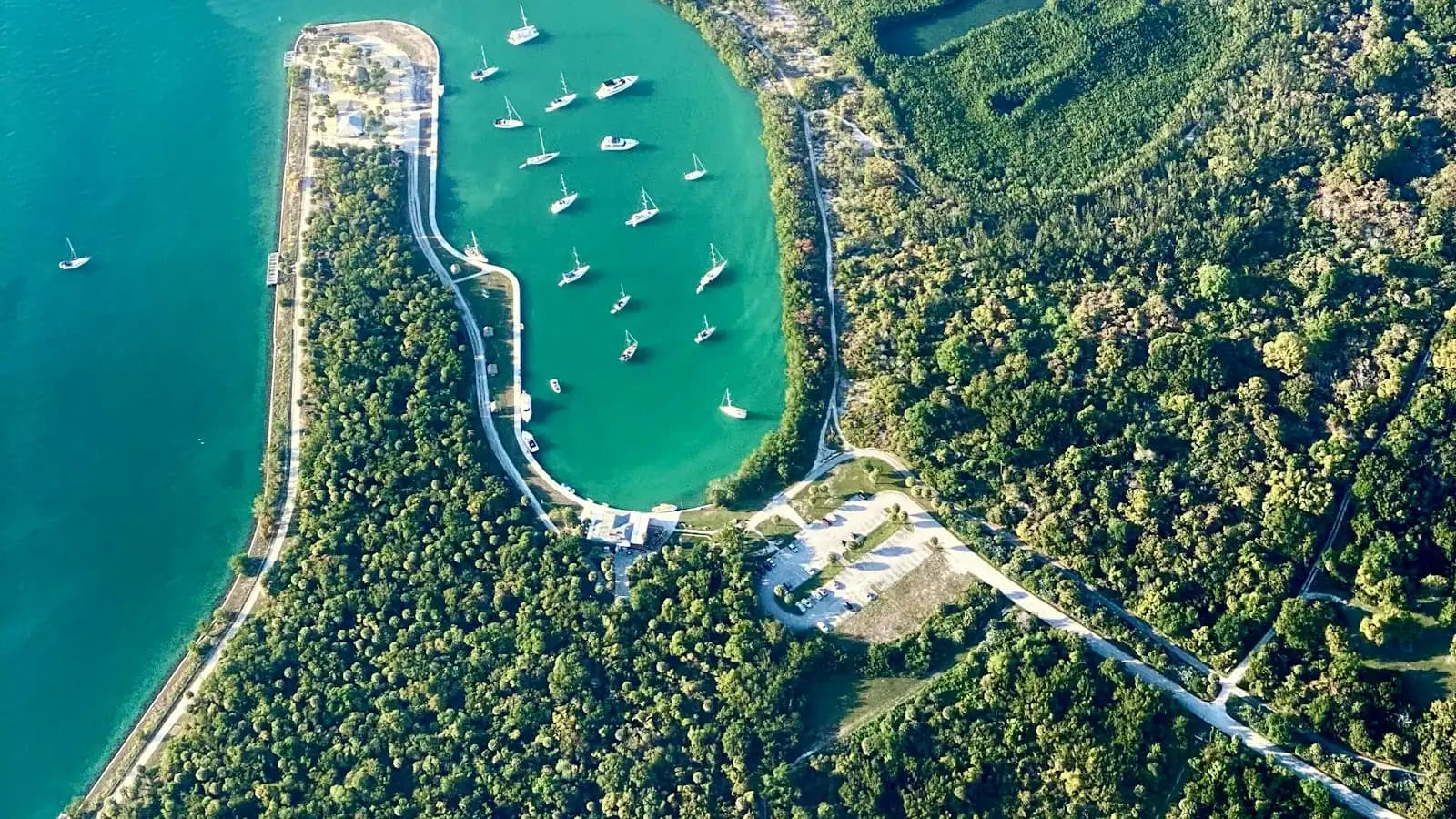
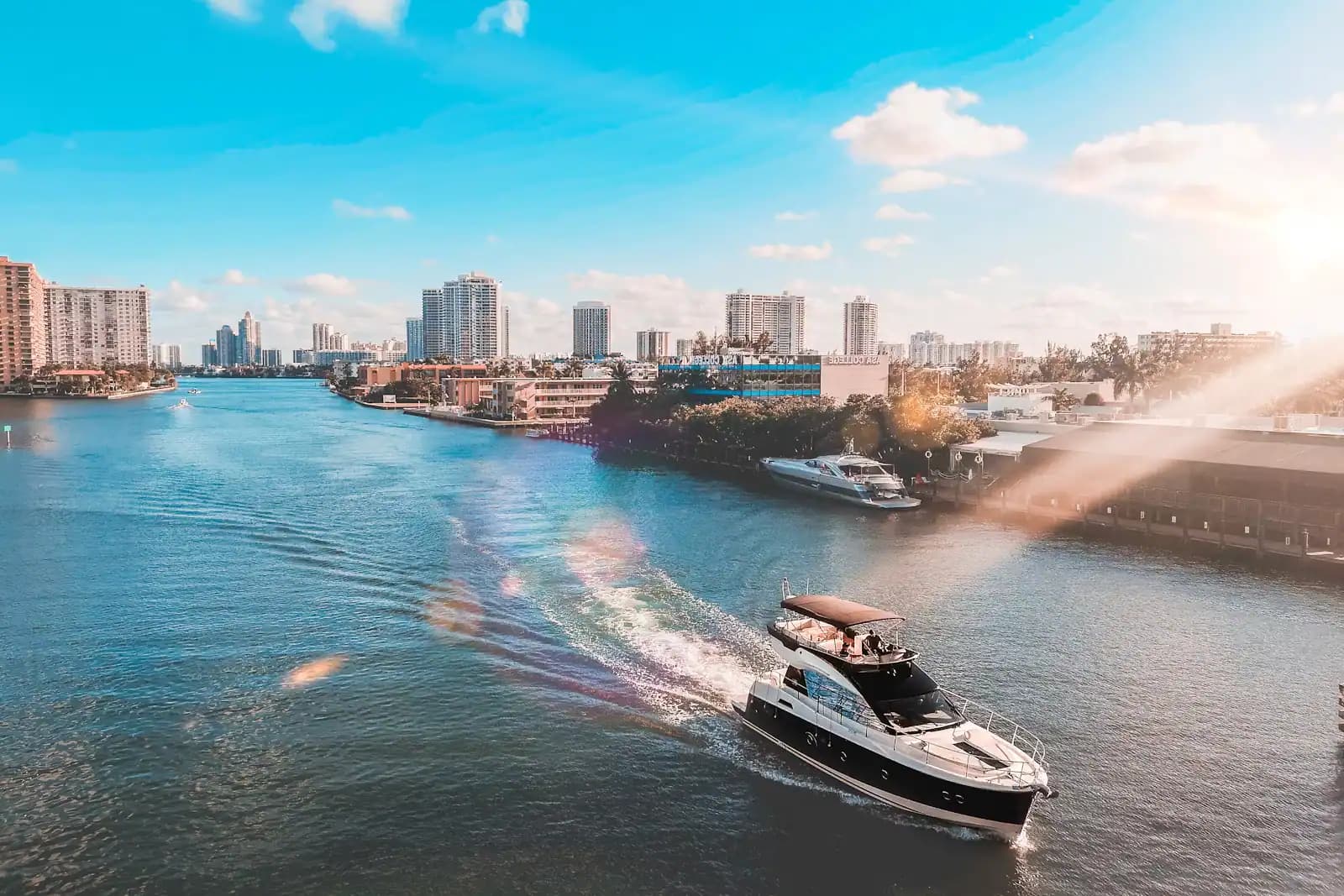
Marco Island is the largest island in the Ten Thousand Islands, and the only one with traffic lights. That single sentence explains almost everything about a visit here. South and east of the Jolley Bridge lies an archipelago of several hundred mangrove keys and oyster bars that runs down the coast toward Cape Sable with no roads, no power and almost no people on it. Marco sits at the top of that archipelago with condominium towers along its Gulf shore, a yacht-and-golf culture behind them, and about a hundred miles of dredged canal in between. The island is the last address before the wilderness starts.
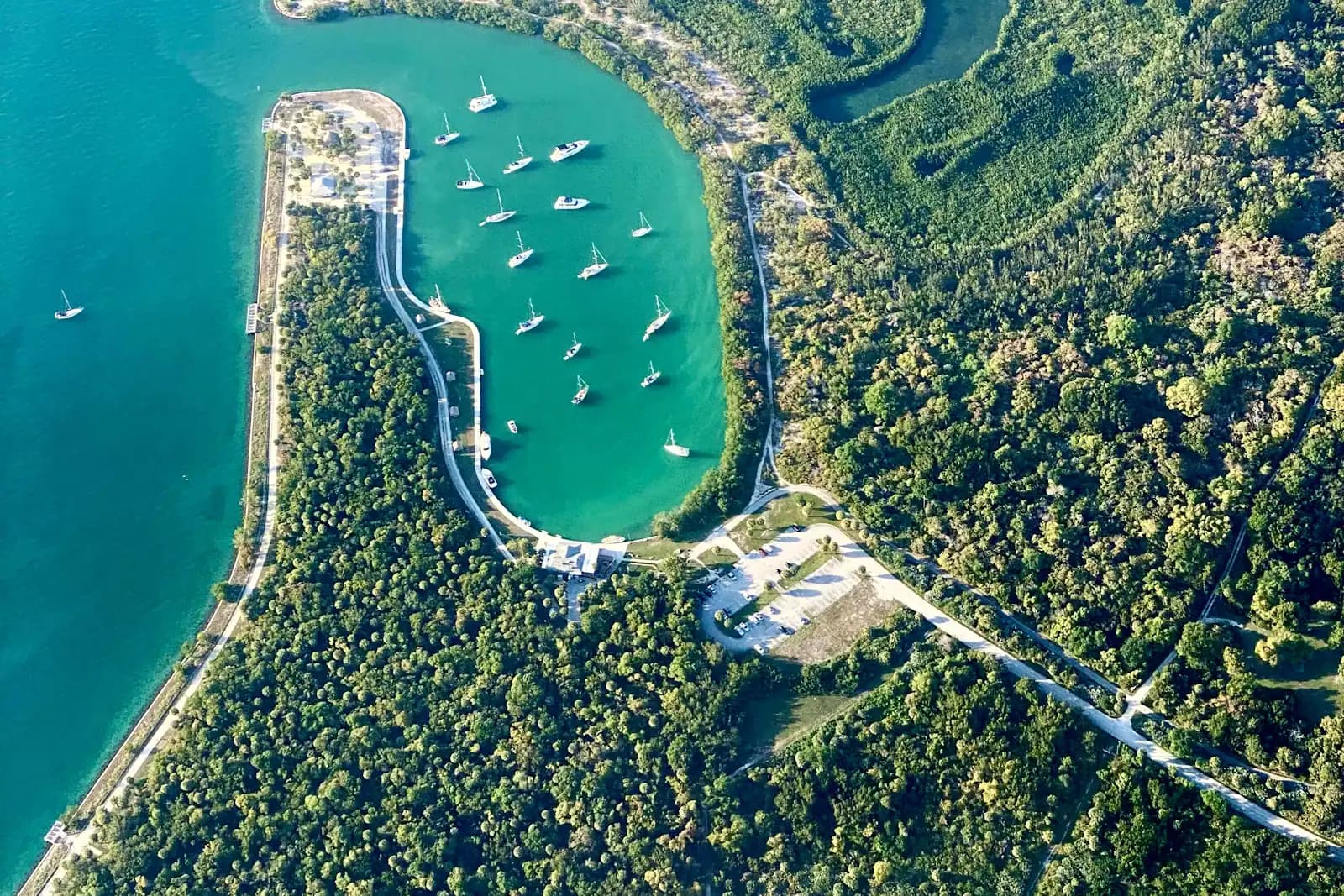
The layout is not accidental. Modern Marco was built as a single project: the Mackle brothers' Deltona Corporation opened it for sale on 31 January 1965, and the master plan called for roughly 125 miles of paved roads and 90 miles of navigable, bulkheaded waterway. Dredges cut the finger canals through the mangrove flats from 1964 onward, which is why the street pattern is all curved cul-de-sacs, why so many houses have a boat lift at the bottom of the garden, and why the island's population of around 16,000 can carry more registered vessels than most towns its size. Marco only became a city in its own right on 28 August 1997. In season that resident number roughly doubles, and from January through March it shows in every restaurant queue on Collier Boulevard.
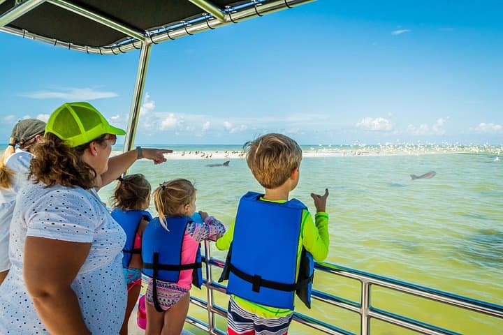
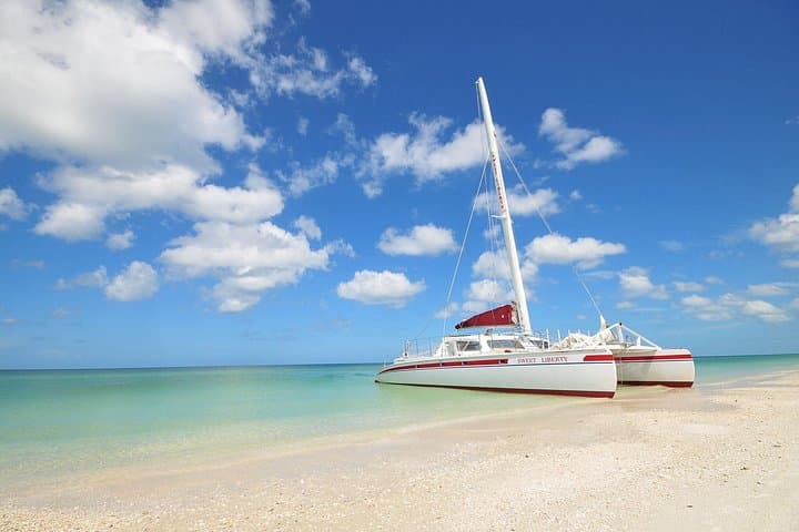
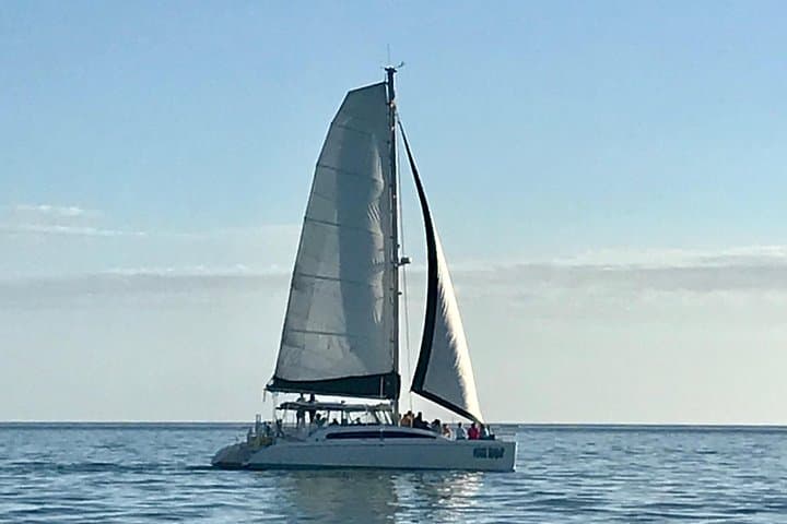
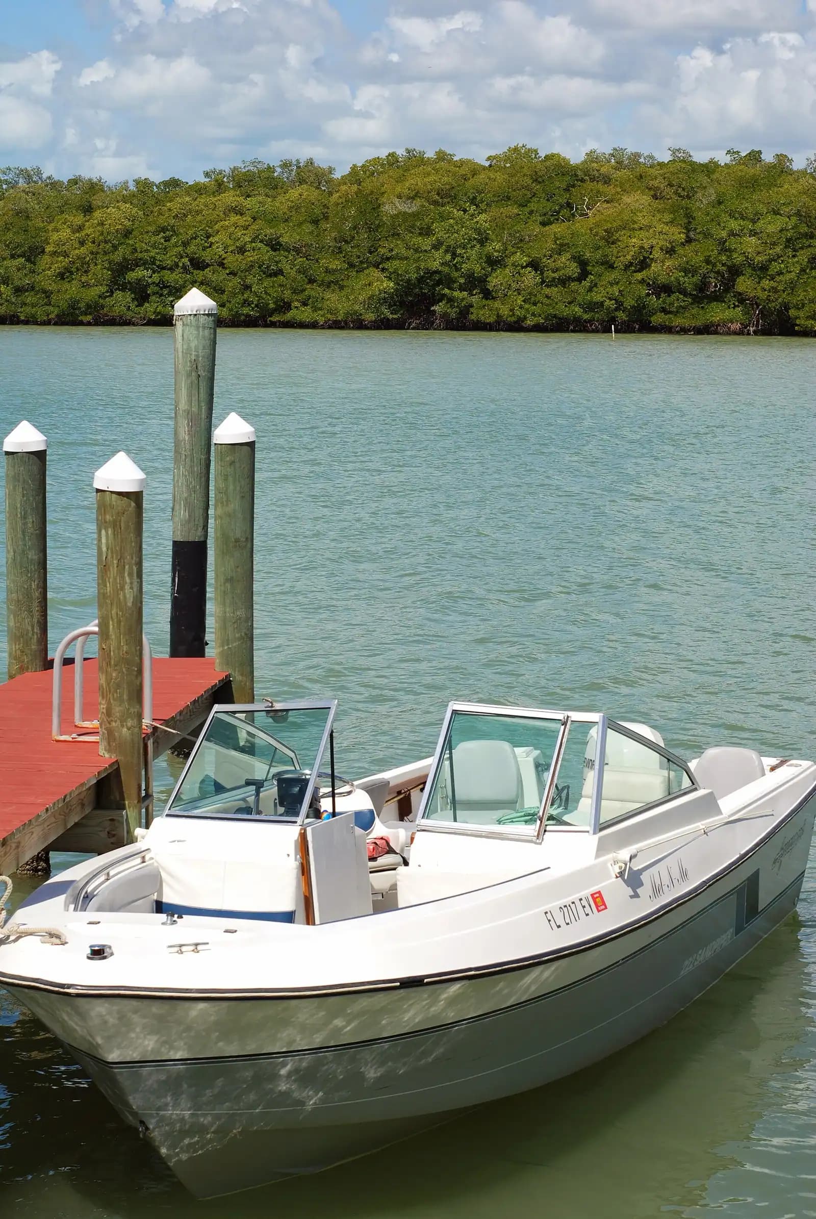
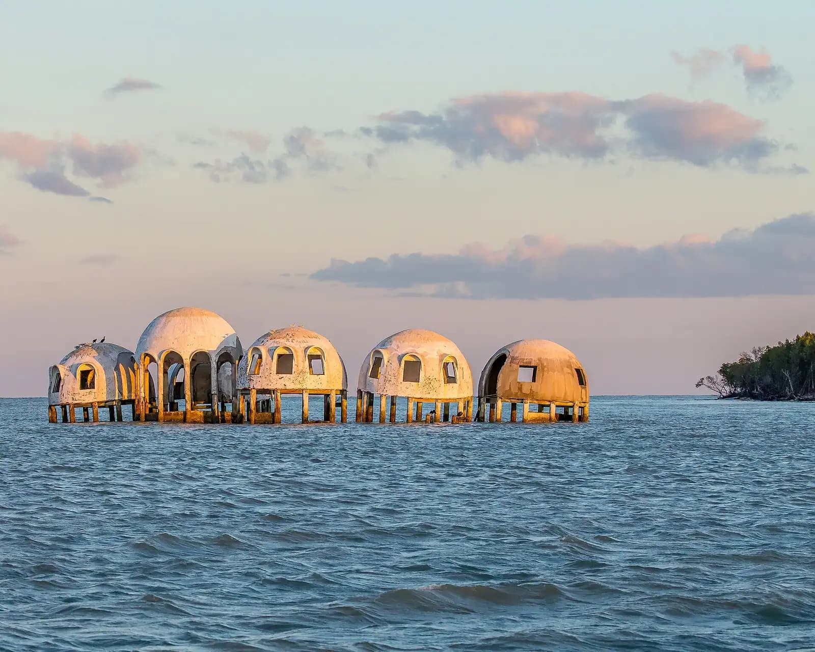
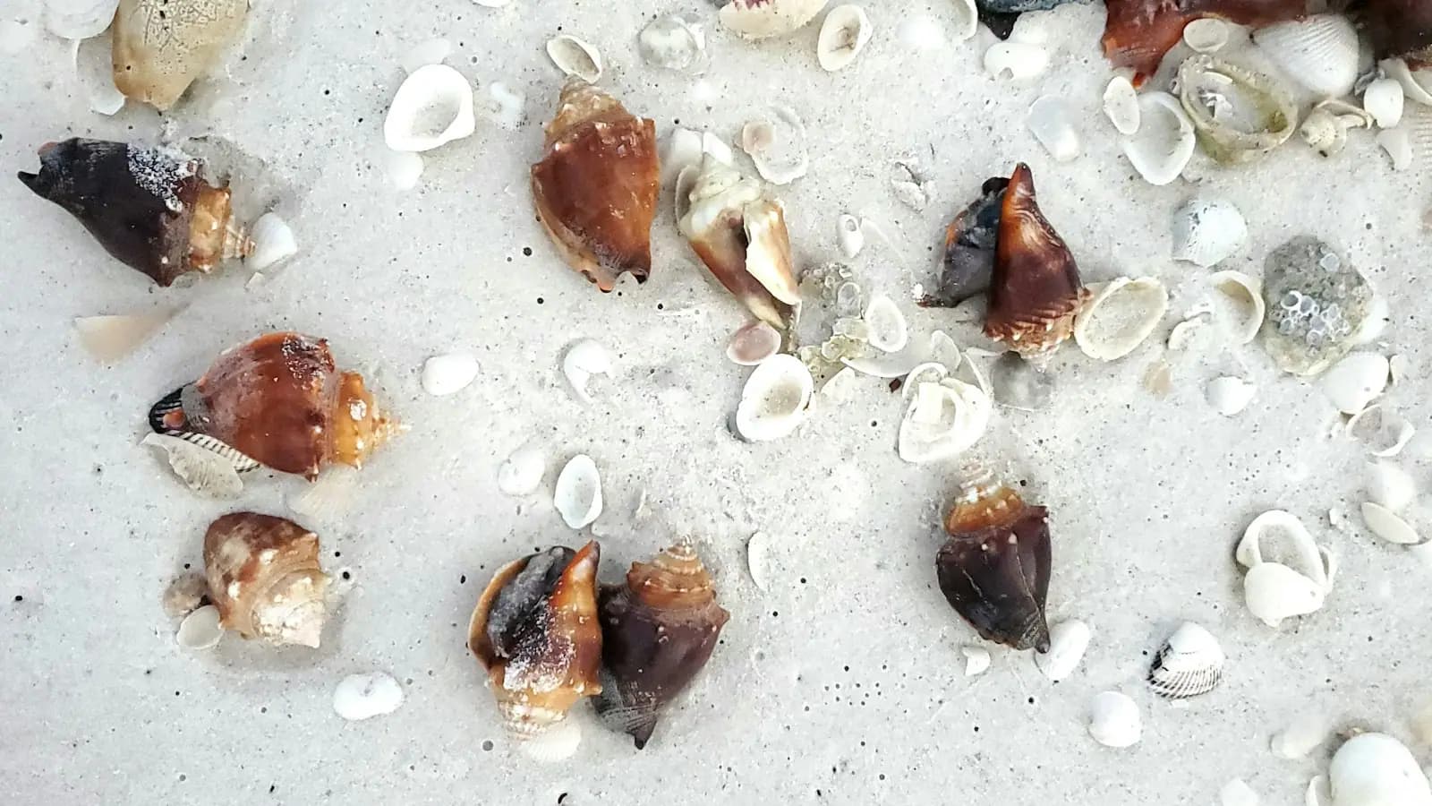
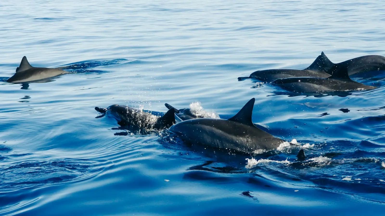
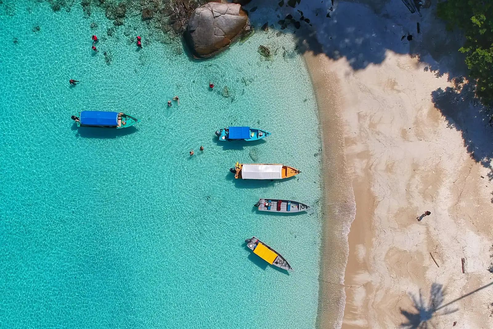
So the useful way to plan a trip here is by water access, in three tiers. On the pavement you get Tigertail Beach and its lagoon, South Marco Beach, a genuinely good free museum, a Calusa shell mound in a residential street, burrowing owls nesting on vacant lots, and the mid-rise beach itself. Book a seat on somebody else's boat and you add the Ten Thousand Islands, wild dolphins, the boat-only shelling islands south of Caxambas Pass, and the remains of the Cape Romano dome house. Bring or rent your own hull and the map opens completely: Goodland, Everglades City, the backcountry passes, and beaches you will have entirely to yourself on a Tuesday in March.
Two comparisons worth making early, because visitors arrive with the wrong island in their heads. Marco is not Naples. There is no Fifth Avenue South here, no gallery district, and the dining scene is smaller and more resort-shaped than a town of this wealth suggests. And Marco is not Sanibel. Sanibel is the shelling-and-bicycles island, flat and low with a wildlife drive down the middle. Marco is the boating island, vertical along its beachfront and horizontal everywhere else, and its best shelling is on uninhabited keys you can only reach by hull. People who come here expecting to cycle everywhere have a frustrating week.
The practical spine is short. There are exactly two ways on and off: the Judge S.S. Jolley Bridge carrying Collier Boulevard from the north, and San Marco Road running east past Goodland to the mainland. Beach parking is metered and enforced, and the beach access rules are stricter than most Florida islands. Sea turtles nest on this shoreline from 1 May to 31 October, and the city's lighting ordinance is real, with fines attached. Mosquitoes and no-see-ums in the backcountry are not a rumour. Everything below is organised so you can tell, before you book anything, which tier of the island you are actually buying.