Private and Luxury
Marco Island Wildlife Sightseeing and Shelling Tour (opens in a new tab)
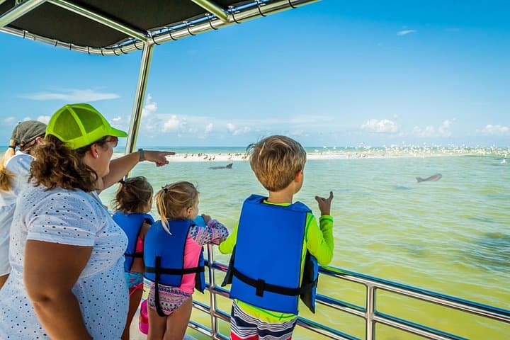
Our Marco Island Sightseeing and Shelling Tour departs from the Goodland Boat Park, in Goodland, FL. On our two hour ecotour you will…
2 hours
Prices checked
Beach
Last updated
A sandbar that keeps rewriting itself off Marco's northwest shore, walkable at low water and gone from the map at high.
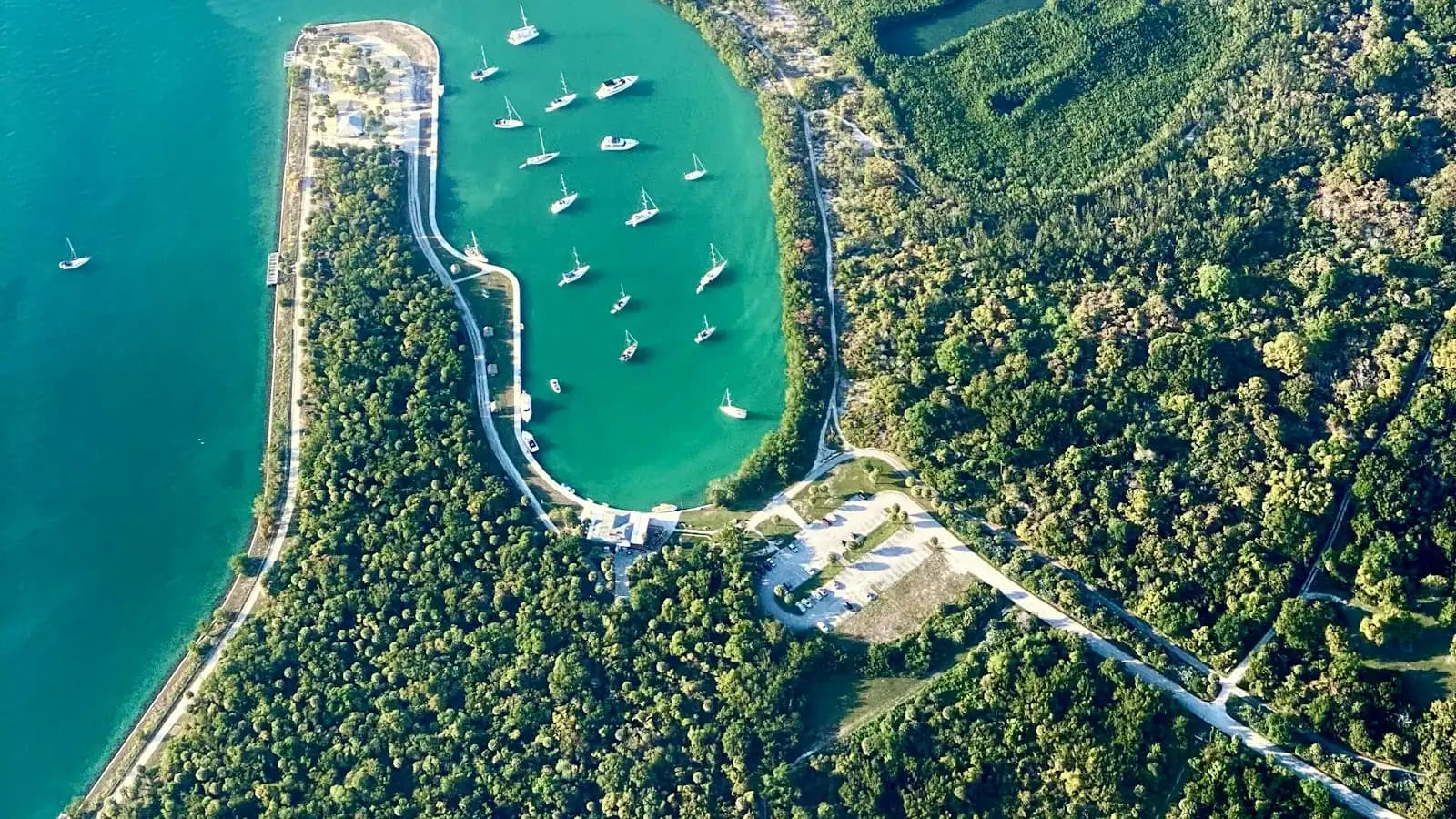
Sand Dollar Island is not an island in any sense a map would endorse. It is a spit of bare Gulf sand lying off Marco's northwest shoulder, separated from the built island by the Tigertail lagoon, and its shape is a running argument between the tides, the passes and whichever storm came through most recently. In the 1980s it sat clear offshore and you needed a boat. By the 2000s it had welded to the shore at its southern end, which is why you can walk there now. After Hurricane Irma in 2017 the northern tip grew by something in the order of fifteen acres in five years and began to crowd the Marco River navigation channel, which is what eventually triggered the restoration dredging of 2022 and 2023.
The practical consequence is that no two visits are the same. What is dry sand this winter can be a tidal runnel next winter. Locals stopped calling it an island a long time ago and just say the spit.
What it offers is the least developed Gulf beach you can reach from Marco without a boat: roughly three miles of open shore, no buildings behind it, dune vegetation instead of towers, and a shell line that rebuilds with every tide. The far northern end, where the spit narrows towards Big Marco Pass, is where the shelling gets serious and where almost nobody walks.
It is also one of the more important beach-nesting bird sites on this stretch of coast, and large sections of the upper beach are roped and posted through spring and summer for black skimmers, least terns, Wilson's plovers and snowy plovers.
Bring water, shade and a plan for getting back. There is nothing out here at all: no restroom, no shop, no shade, no lifeguard, and on a summer afternoon the walk back across open sand is longer than it looked on the way out.
On foot, the only land route is through Tigertail Beach Park at 430 Hernando Drive. Park there, pay at the county kiosk, and either wade the lagoon at the narrow neck or take the southern walk-around, which adds about twenty minutes each way but keeps you dry.
By water, the spit is a short run from the Marco River and Big Marco Pass, and most shelling and beach-drop charters out of the marinas on the north end of the island land on the Gulf side. Skippers keep clear of the posted north end during nesting season. Kayakers can launch into Tigertail lagoon and paddle north, which is the sheltered option on a windy day.
There is no road, no bridge and no parking on the spit itself. Anything that arrives has to be carried or floated.
Everyone reaches the spit from Tigertail Beach Park, and there are only two routes. Wade the lagoon at its narrow neck, or walk south around the head of the lagoon and out onto the sand, a flat twenty minutes each way.
Neither route is a fixed quantity, because the lagoon changed depth during the restoration work and continues to shift. Look at the water before you decide, and check a tide table for Big Marco Pass rather than a generic Naples tide, because the lagoon lags the open Gulf.
The window that works is roughly two hours either side of low water. That is when the wade is shallowest, the flats are exposed, the shell line is widest and the birds are feeding in the open. High tide does the reverse: the crossing deepens and develops a current, the beach narrows against the posted nesting areas, and the interesting flats disappear.
Time the return before you go. The single most common mistake here is walking out on a falling tide, losing an hour to shells and then finding the way back has filled in. If you are carrying a cooler, a chair and a child, take the walk-around both ways and stop thinking about it.
Boat access is easier and is how most shelling charters arrive, landing on the Gulf side away from the posted sections.

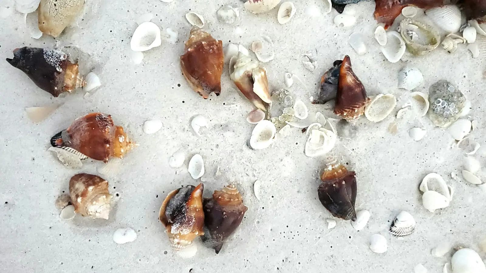
The spit was named for sand dollars and still produces them, but the everyday haul is broader: fighting conchs, lightning whelks, banded tulips, olives, cockles, jingles, coquinas and the occasional true tulip. After a hard blow out of the west or northwest, the line thickens and bigger whelks appear.
Two habits separate people who fill a bag from people who do not. Walk north rather than south, because the crossing point is picked over by lunchtime and the northern third of the spit sees a fraction of the foot traffic. And work the low-water swash line rather than the dry wrack: the freshest material sits where the water is actively sorting it.
Collier County prohibits collecting live shells, live sand dollars and live starfish. A sand dollar that is grey-brown and fuzzy is alive and belongs in the water; a white, bleached one is not. Turn whelks over and check for an occupant, because hermit crabs inherit them. This is enforced, and the fine is not nominal.
Bring a mesh bag so the sand falls out, and rinse everything before it goes into a car. A bucket of drying shell fragments smells memorable by the second day.
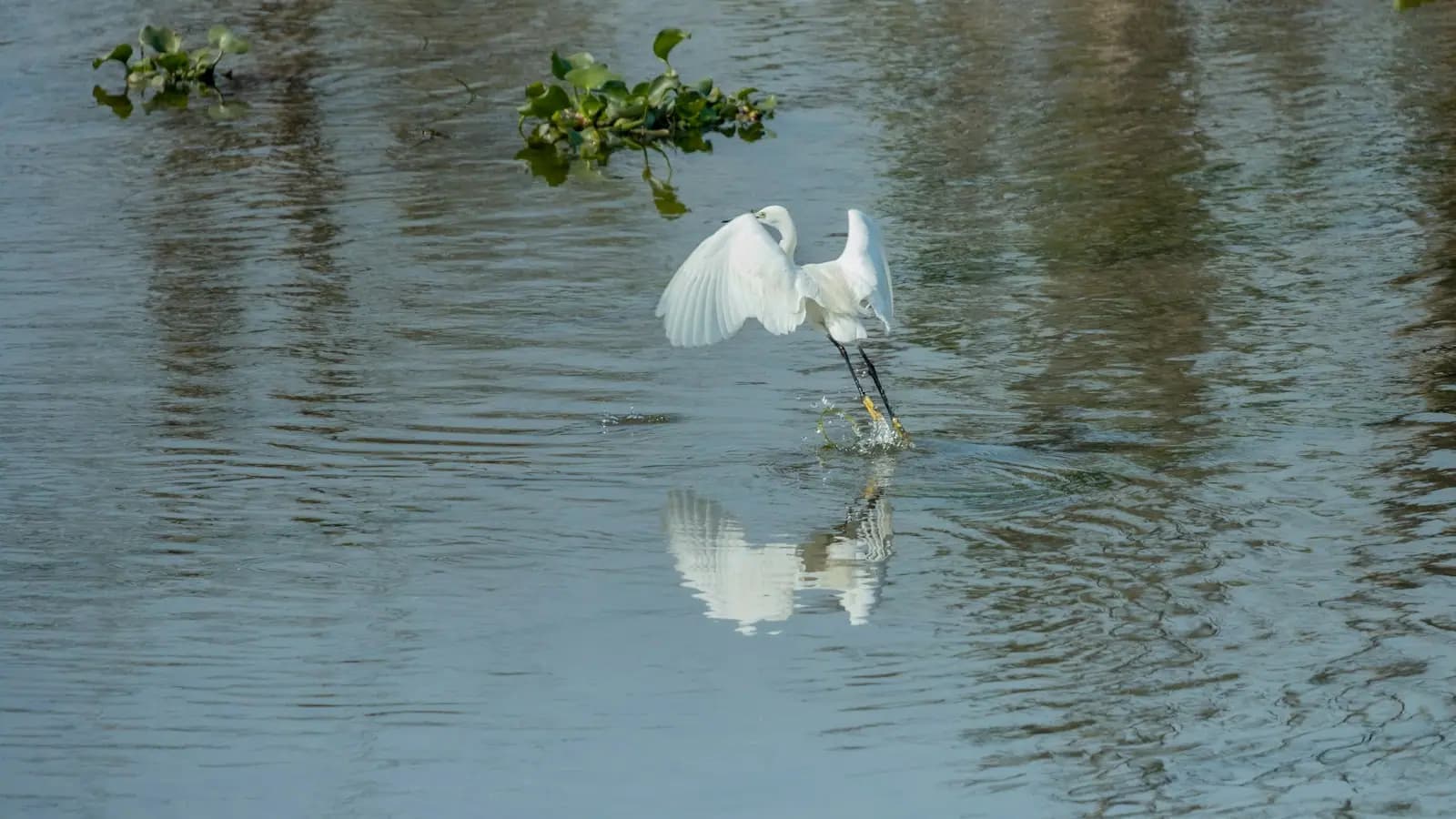
The north end of the spit is a designated critical wildlife area for beach-nesting birds, and it earned that designation the hard way. Black skimmers, which nest in dense colonies directly on open sand, took to the restored ground here in the hundreds of pairs. Least terns and Wilson's plovers nest alongside them, and snowy plovers, of which Florida has very few, use the same beach.
These birds do not build anything. A nest is a scrape in the sand holding eggs the colour and pattern of shell hash, and you will not see it until you have stepped on it. That is the entire reason for the rope.
Posted areas are marked with signs and string, typically from around February or March until late summer. Stay below the wrack line, walk the wet sand, and do not cut inside a roped section even if it looks empty. If adults lift off the beach and start calling or diving at you, you are inside the colony, and every minute they spend in the air is a minute their eggs are cooking in the sun.
Dogs are prohibited on Collier County beaches, which matters more here than anywhere else on Marco. Drones are also a problem: a drone flushes an entire skimmer colony at once.
Operators run these trips past Sand Dollar Spit, or stop there as part of a longer route. We list what the booking data supports — not everything that mentions the name.
Some links below go to Viator, our booking partner. We earn a commission on bookings made through them — at no extra cost to you, and with no influence on what we recommend.

Private and Luxury
Our Marco Island Sightseeing and Shelling Tour departs from the Goodland Boat Park, in Goodland, FL. On our two hour ecotour you will…
2 hours
Prices checked

Low Last Minute Supplier Cancellation Rate
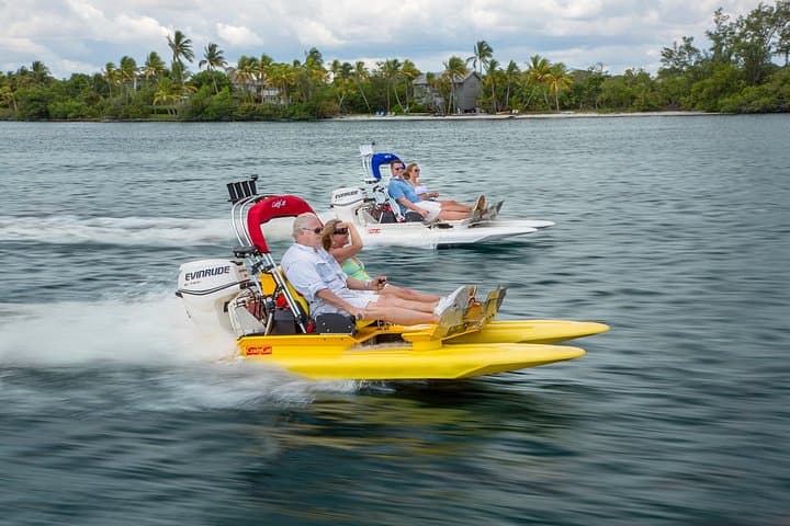
Operate your own 2 person catamaran through the winding and breathtaking waterways of the 10,000 Islands. Excitement, tranquility, thrill…
1–2 hours
Prices checked

Private and Luxury
As the top shelling company in all of Florida, we take pride in providing our guests with a truly unique and unforgettable experience. Our…
3 hours
Prices checked

Top Product
Our private excursion allows you to enjoy the beautiful waters of The 10,000 Islands without the crowds of tourists at a comparable price…
2–3 hours
Prices checked

Curated Catalog
Excited to catch some fish in Marco Island? Having logged many hours on these tides, Our Captains are prepared to put you on fish. All of…
2 hours
Prices checked

Nature and Wildlife Tours
Begin your private charter with a scenic cruise through Naples Bay and the waterways of Port Royal, home to some of Naples' most…
4 hours
Prices checked
Straight-line distances, so allow more on the road — the island is long and has one main parkway.

Beach
A county park where the Gulf beach sits on the far bank of a tidal lagoon, so the tide table decides what kind of day you get.
2–6 hoursPark entry is free. Parking is paid at the county kiosk, around $10 per day.0.4 mi away

Water feature
The tidal flat between the car park and the Gulf: wade it at low water, paddle it at high, and find the best birding on Marco Island.
1.5–5 hoursFree to enter. Parking at Tigertail Beach Park is charged, at roughly $10 a day.0.4 mi away

Beach
Eight miles of undeveloped barrier island with no bridge, no road and no facilities, reachable only by boat from Marco or Naples.
3–8 hoursThe beach is free. The cost is the boat: shuttle fare, charter or rental.8.7 mi away

Beach
The island's members-only beach, run by the Civic Association. Worth understanding before you drive down and find a gate.
2–6 hoursPrivate. Annual Civic Association membership, or a temporary guest pass sponsored by a member.1.6 mi away
Where this place fits into a day, and the pages that plan one.

Guide hub
Marco Island is the largest island in the Ten Thousand Islands, and the only one with traffic lights. That single sentence explains almost…

Guide hub
Marco Island has roughly four miles of Gulf-facing sand, and almost all of it is fronted by something. Condominium towers stand shoulder to shoulder…

Things to do
Marco is a boating island in a way that is easy to miss from the beach. The Gulf frontage is a crescent of sand with mid-rise towers behind it and…

Things to do
Every visitor arrives having heard that Sanibel is the shelling island, and the honest answer is that Sanibel earned it. That island sits crosswise…

Things to do
Marco is a planned island. Canals, cul-de-sacs, mid-rise towers along the Gulf, a golf club, a supermarket. On paper it should be the least…

Guide
Flat water, short drives, and an island where the best children's activity is free and involves finding owls living in holes on somebody's building plot.
7 min readDelia Fontaine

Guide
The good shelling here is not on the beach in front of the towers. It is on keys with no roads, no names anyone uses, and a tide window of about two hours.
8 min readImani Brooks

Guide
One six-mile crescent, three completely different ways of reaching it, and a tide that turns the island's best beach into a wade.
8 min readDelia Fontaine
Yes, from Tigertail Beach Park, and the tide decides how hard it is. Around low water you can wade the narrow neck of the lagoon in shallow water, or walk south around the head of the lagoon on dry sand in about twenty minutes. At high tide the wade becomes deep enough to swim and carries a current, so the walk-around is the only sensible route. Check a tide table before you set out and plan the return leg too.
Not at the moment, and not for some years. It began as a genuine offshore bar, attached to the shore at its southern end during the 2000s, and has been growing and reshaping ever since, including a large expansion of its northern tip after Hurricane Irma. Restoration dredging in 2022 and 2023 rebuilt part of it and reopened tidal flow through the lagoon. It is best thought of as a spit that changes shape every season.
Only dead ones. Collier County prohibits collecting live shells, live sand dollars and live starfish. A living sand dollar is grey-brown, slightly fuzzy and often moving tiny spines; a legal one is white, bleached and hard. The same applies to whelks and conchs, which frequently hold either the original animal or a hermit crab. Check every piece before it goes in your bag, because this rule is enforced on the beach.
None whatsoever. No restrooms, no drinking water, no food, no shade, no lifeguard and no phone signal you should rely on. The nearest facilities are the restrooms at Tigertail Beach Park on the far side of the lagoon. Carry water, sun cover and anything else you will need for the length of your stay, and remember that everything has to come back with you, including rubbish.