Beach
Tigertail Beach Park
Free
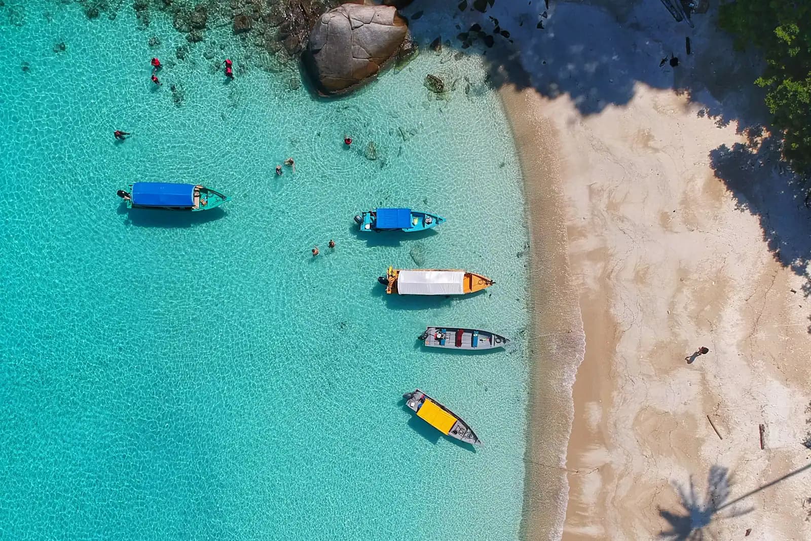
A county park where the Gulf beach sits on the far bank of a tidal lagoon, so the tide table decides what kind of day you get.
2–6 hoursPark entry is free. Parking is paid at the county kiosk, around $10 per day.
Attraction directory
Last updated
Marco Island attractions sorted by how you reach them: by car, on foot, by dock and by boat only. Tigertail, Otter Mound, Rookery Bay, Goodland, Chokoloskee.

An honest warning before the list: Marco Island has almost no ticketed attractions. There is no aquarium, no theme park, no historic district with a paid trail, no zoo. What it has instead is a set of places, most of them natural, several of them archaeological, and a striking number of them impossible to drive to. A ranked top ten would tell you nothing useful, because the thing that separates these sites is not quality. It is arrival.
So this page sorts them four ways. There are places with a street address and a car park. There are places with a trailhead, where the walk is short but the point is what is growing on it. There are places with a dock, reached on a scheduled boat or a shuttle. And there are places with nothing at all, offshore in the archipelago, which is where the best of Marco actually lives.
What holds the list together is depth of occupation. The Calusa lived on this island in numbers for centuries, and they did it by building: the high ground on Marco is not geology, it is shell. Whole neighbourhoods sit on middens. In 1896 the Pepper-Hearst expedition, led by Frank Hamilton Cushing, dug into the muck at Key Marco and lifted out carved and painted wooden objects that had survived because the anaerobic mud had sealed them from the air. It remains one of the most important archaeological finds in North America, and the museum on South Heathwood Drive is built around telling that story. Two miles away, a quiet residential preserve preserves a piece of the same mound system with shell terraces laid over it by a twentieth-century homesteader.
Layered on top of that is the newest thing here: a wholly planned island. What you drive on was drawn in the 1960s by the Deltona Corporation, and the difference between the 1965 grid and everything outside it is visible in ten seconds from the Jolley Bridge. The old settlement at the island's north end, Olde Marco, predates all of it and is the only part of Marco that looks like a Florida town rather than a masterplan.
The mainland side belongs on the list too, and visitors under-use it badly. Rookery Bay National Estuarine Research Reserve covers roughly 110,000 acres of mangrove estuary between Marco and Naples with a proper visitor centre on it. Collier-Seminole State Park guards a stand of native royal palm and a 13.5-mile canoe trail. The Ten Thousand Islands National Wildlife Refuge has exactly one land access and a tower at the end of it. Forty minutes further east, Everglades City and Chokoloskee hold the human history of this coastline in two buildings and a causeway.
A general rule for all of it: hours here are seasonal, small sites close for works, and this coast has taken two direct hurricane hits in recent memory, in 2017 and 2022. Several entries below have opened, closed and reopened since. Check the current status of anything you plan a day around, and treat any admission figure as a band rather than a price.
Marco Island Historical Museum, South Heathwood Drive. Free admission, daytime hours Tuesday to Saturday, and a permanent exhibition that reconstructs a Calusa village at full scale alongside several hundred pre-Columbian objects. Allow an hour and a quarter. The six-inch Key Marco Cat, the single most famous artefact from the 1896 dig, was here on a multi-year Smithsonian loan that concluded in 2026; confirm what is on display before you travel for a specific piece.
Tigertail Beach Park, at the north-west corner. County park, paid parking, restrooms, concession and kayak hire, and the tidal lagoon that makes it the island's signature site.
South Marco Beach access, at the far south end. A compact lot of roughly seventy spaces with a pay station and restrooms, open sunrise to sundown. The surrounding residential streets and swales are no-parking and enforced.
Caxambas Park, on Collier Court at the island's southern tip. Primarily a county boat park — two launch lanes, courtesy docks, around thirty trailer spaces, a fee of roughly $8 including parking, daylight hours only — but also the best free view on the island of Caxambas Pass and the keys beyond it. It reopened in 2025 after a rebuild.
Esplanade at Smokehouse Bay and Marco Walk on Collier Boulevard are the two places where visitors actually spend evening time: waterfront restaurants, small shops, a cinema at Marco Walk, and at the Esplanade a set of docks where people tie up to have dinner, which is a very Marco way to arrive at a restaurant.
These are all under a mile of walking. Their value is in what they explain, not in distance covered.
Otter Mound Preserve, Addison Court. Two and a half acres, the smallest and southernmost property in the Conservation Collier system, open daily through the middle of the day and into the evening. A tenth-of-a-mile mulched loop runs beneath gumbo limbo and strangler fig over a Calusa shell mound that once extended across roughly eighty acres. The terrace walls of stacked whelk shells were built in the mid-twentieth century by Ernest Otter, who lived here; the interpretive signs sort out which layer is which.
Rookery Bay Environmental Learning Center, on Tower Road off Collier Boulevard on the mainland side. A two-storey exhibit hall with a 2,300-gallon aquarium, a gallery and an auditorium, generally open Tuesday to Saturday in daylight hours with reduced summer hours, and admission in the region of $10 for an adult and $5 for a child. The reserve's Briggs boardwalk on Shell Island Road has been closed for renovation in recent seasons, so check before driving out for it specifically.
Collier-Seminole State Park, fifteen minutes east on US-41. Four hiking trails, a campground, a boat ramp and the 13.5-mile Blackwater River canoe trail. Its 1930s blockhouse and the Royal Palm Hammock nature trail have both been closed for works recently, and the ranger station has kept reduced days, so confirm what is open.
Ten Thousand Islands National Wildlife Refuge Marsh Trail, US-41 near mile marker 31. A 2.2-mile round trip, the first quarter paved and the rest gravel, ending at a two-storey observation tower with scopes; the lower level is accessible.
Keewaydin Island lies between Marco and Naples, eight miles long, roughly four-fifths undeveloped and reachable only by water. A scheduled shuttle runs across from Rose Marina on Bald Eagle Drive several times a day, a half hour or so each way, and several sightseeing boats out of Naples stop there. There are no restrooms and no lifeguards. On weekends a floating snack concession works the anchorage, which is a peculiarly Southwest Florida institution and worth seeing once.
Goodland, on the island's south-east corner, is technically driveable but belongs in this section because its point is the water. Two hundred residents, a county boat park, stilt houses and stacked crab traps. Most shelling charters to the southern keys leave from here because it is the shortest run.
Everglades City and Chokoloskee, forty minutes east. The national park's Gulf Coast operation reopened with a rebuilt, elevated visitor centre named for Marjory Stoneman Douglas, and the ranger-led boat trips into Chokoloskee Bay and Indian Key Pass depart from its dock. Across the causeway, the Smallwood Store has stood on Chokoloskee since 1906, is listed on the National Register, and is still run by the founder's descendants with most of its original stock in place. Its elevation on pilings is the reason it survived a century of storms, and the family marked the centenary of that decision in 2026.
Isles of Capri, on the causeway between Marco and the mainland, is a small residential community with a paddle-only launch and a couple of waterfront restaurants. It is the easiest place to put a kayak in without a trailer.
This is where Marco stops resembling anywhere else on the Gulf coast.
Sand Dollar Island is the spit off Tigertail, a shifting bar that emerged in the 1970s and is still migrating. You wade to it rather than boat to it, but it belongs here because it has nothing on it: no shade, no water, no bin. Its shorebird colonies are roped in the nesting months and those ropes are legally enforceable.
Kice Island sits immediately south across Caxambas Pass: uninhabited, no facilities, no foot traffic to speak of, and consequently shell lines that have not been picked over. Whelks, olives, conchs and pen shells are common, and the southern point toward Cape Romano is where the larger horse conchs turn up. The horse conch has been Florida's state shell since 1969 and is the biggest marine snail in North America, up to about two feet long.
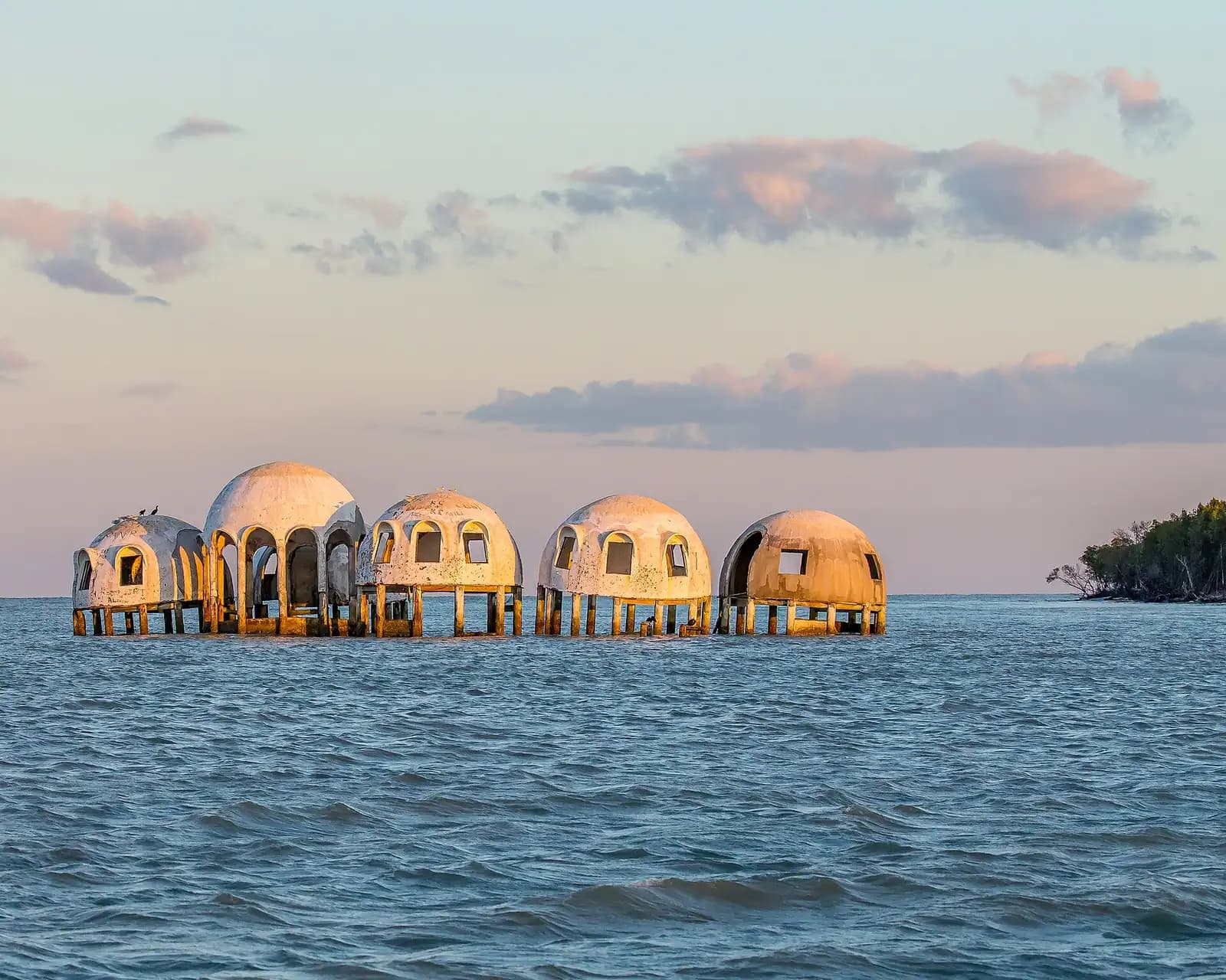
Cape Romano is the headland south of that, and the site of the dome house. Understand what you are going to see: Irma destroyed two domes in 2017, Ian toppled the rest on 28 September 2022, and what is there now is half-submerged pilings and rubble in open water. Boats keep their distance because the remains are unstable.
Morgan Beach and the shorelines around Barfield Bay on the island's south-eastern flank are the quiet water, used far more by locals and paddlers than by visitors.
Nothing in this section has drinking water, shade or a lifeguard. Take more water than you expect to drink, take shade with you, and tell somebody your plan.
Olde Marco occupies the island's northern tip and is the only part of Marco that predates the masterplan. Settlement here goes back to the nineteenth century, when the island's economy was clam canning, fishing and boatbuilding rather than real estate, and the scale of the streets shows it. The lanes are narrow, the buildings are low, and there is an inn and a handful of restaurants on the Marco River with working docks in front of them. It takes twenty minutes to walk and it is the best twenty minutes of context on the island.
The Judge S.S. Jolley Bridge carries Collier Boulevard over the Marco River and has connected the island to the mainland since 1969. Before it, you came by boat or on a much longer road. It is worth a stop rather than only a crossing: the causeway approach has pull-offs where people fish, launch kayaks and watch the sun go down over the river, and the elevated span gives the clearest view anywhere of the geography this whole guide describes — the built island on one side, the mangrove keys running away to the horizon on the other.
San Marco Road, the island's east-west spine, carries the second exit, crossing to the mainland past Goodland on the Stan Gober Memorial Bridge. The stretch between the two bridges is where the island's two characters meet: condominium towers behind you, crab traps ahead.
Marco is a better wildlife destination than its resort profile suggests, because the estuary starts at the end of the street.
A workable order that avoids doubling back and puts the weather-dependent thing first.
Day one, on the water. Book the morning departure for a Ten Thousand Islands trip, whether that is dolphins, shelling or both. Afternoon at Tigertail, crossing the lagoon at the low end of the tide. Sunset from the beach or the Jolley Bridge causeway.
Day two, the island and the old end. Historical Museum when it opens, Otter Mound afterwards because it is five minutes away and takes fifteen minutes, then Olde Marco and the Marco River for lunch. Late afternoon at Caxambas Park to watch boats come in through the pass, then Goodland if it is a weekend.
Day three, east. Leave early. Marsh Trail at the refuge first, while the birds are still moving, then Everglades City, the visitor centre boat trip, and Smallwood Store on Chokoloskee. Collier-Seminole on the way back if there is light left. Repellent in the car, not in the suitcase.
Hold one slot loose. Between June and September the afternoon is unreliable, and any boat-based plan needs a second chance in the week.
All 28 places we cover, grouped by area. Filter, sort, or read straight down.
28 places
Beach
A county park where the Gulf beach sits on the far bank of a tidal lagoon, so the tide table decides what kind of day you get.
2–6 hoursPark entry is free. Parking is paid at the county kiosk, around $10 per day.
Beach
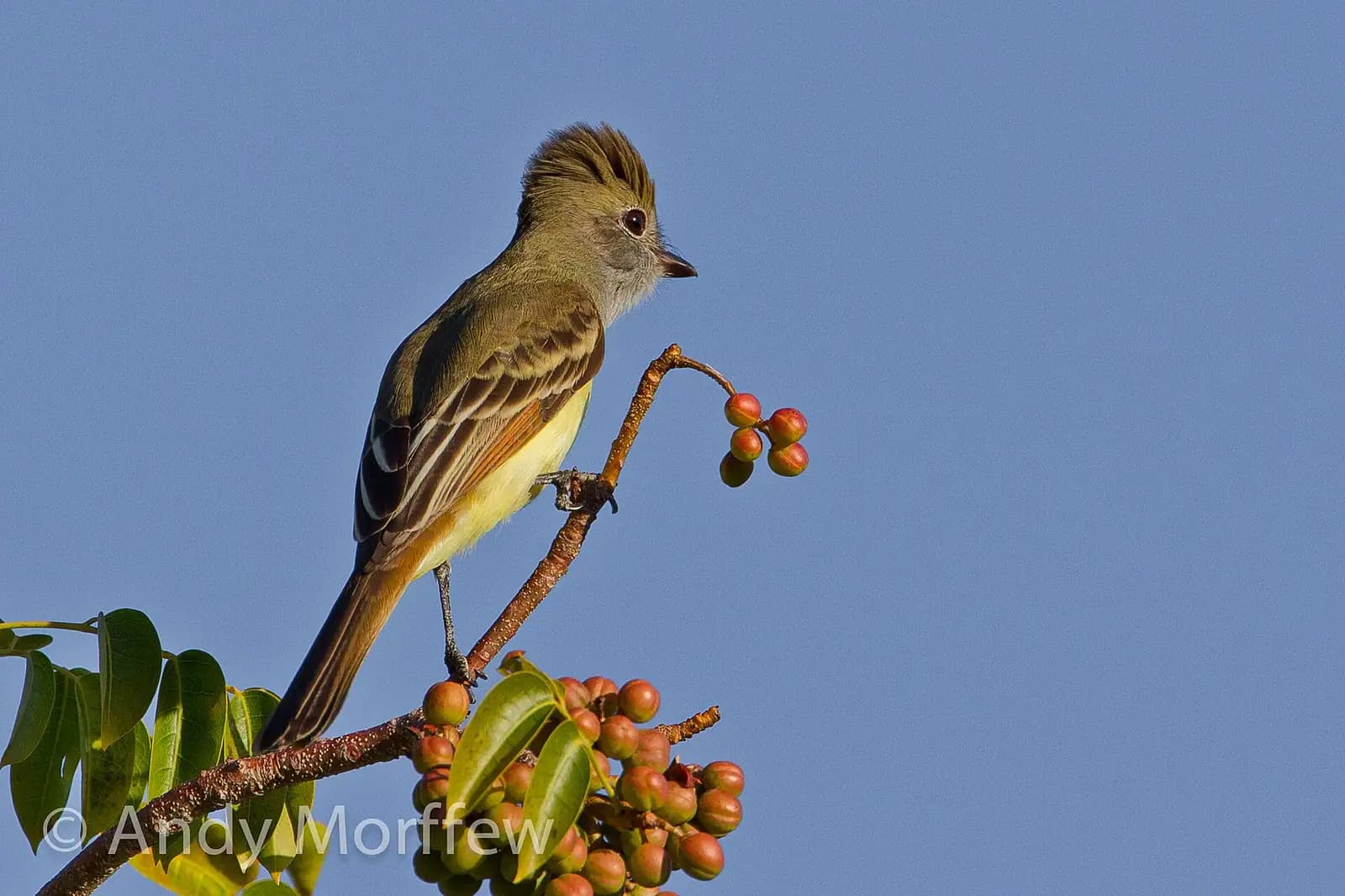
A sandbar that keeps rewriting itself off Marco's northwest shore, walkable at low water and gone from the map at high.
1.5–5 hoursFree. The only cost is parking at Tigertail Beach Park.

Water feature
The tidal flat between the car park and the Gulf: wade it at low water, paddle it at high, and find the best birding on Marco Island.
1.5–5 hoursFree to enter. Parking at Tigertail Beach Park is charged, at roughly $10 a day.

Beach
Two miles of empty Gulf beach across Caxambas Pass, boat access only, with no shade, no water and the best shelling near Marco.
2–5 hoursFree. You pay only to launch or to book a charter.

Beach
Park on Swallow Avenue, cross Collier Boulevard, walk a short boardwalk and you are on open Gulf sand. No tides to solve.
1.5–5 hoursBeach access is free. Parking is paid, around $10 per day for non-permit holders.

Museum
Free county museum built around the 1896 Key Marco excavation, one of the most important wet archaeological sites in North America.
1–2 hoursFree admission, as at all Collier County museums.

Marina
The county ramp at Marco's southern tip, rebuilt after Ian, and the shortest launch to Kice Island and Cape Romano.
0.5–4 hoursPark entry is free. Boat launching is charged per launch, with an annual county pass available.

Beach
The furthest of the boat-only shelling beaches south of Marco, on a shoreline that redraws itself after every serious storm.
3–6 hoursFree to land on. The cost is the boat: a charter seat, or launch and fuel of your own.

Neighbourhood
The north-end village that was here before the canals were dredged, and the waterfront most Marco boat trips still leave from.
1–4 hoursFree to walk. Charters, boat rentals and meals are the cost.
Historic site
Two acres of tropical hammock on a Calusa shell mound, walled with whelk shells by a 1950s homesteader. Free, shaded, and open to dogs.
20–45 minutesFree. No gate, no attendant, no fee.

Water feature
Marco Island's quiet back-side estuary, a foot deep over grass and oyster bar, best seen from a kayak and barely seen from land.
2–5 hoursFree. Launch and parking fees apply at Caxambas Park, and hire or a guide is charged separately.
Landmark
The domes off Cape Romano fell in Hurricane Ian. What is left is pilings and rubble in open water, and still worth the run south.
0.5–1 hoursFree to look at from the water. The cost is the boat or the charter seat.

Landmark
Marco Island's front door: a fixed 55-foot span over the Marco River, with shore fishing at its foot and the busy 951 ramp alongside.
0.5–3 hoursFree to cross and free to fish from the shoreline. Launching and parking at the boating park are charged.

Shopping
Coastal-Italian arcades along 1,100 feet of Smokehouse Bay, with a 77-slip marina and the island's only dinner-by-boat arrangement.
1–3 hoursFree to walk through, with free parking. You pay only for what you eat, buy or dock.

Marina
122 owner-held slips on the Big Marco River just inside the Jolley Bridge, and one of the few places a visiting boat can stay on Marco.
0.5–2 hoursDockage is charged by the night or by the season. Not a public attraction — there is no visitor access to the docks.

Beach
The island's members-only beach, run by the Civic Association. Worth understanding before you drive down and find a gate.
2–6 hoursPrivate. Annual Civic Association membership, or a temporary guest pass sponsored by a member.
Landmark
CR-92, the road off Marco Island that no rental-car direction mentions, and the fastest way east to the Everglades.
0.5–1 hoursFree. No tolls on San Marco Road or on the Stan Gober Memorial Bridge.

Shopping
The one plaza on Marco Island you can walk to from a beachfront hotel, and the place that lost its 32-year-old dine-in cinema in 2026.
1–2.5 hoursFree to enter, with free parking including the covered deck.
Beach
Eight miles of undeveloped barrier island with no bridge, no road and no facilities, reachable only by boat from Marco or Naples.
3–8 hoursThe beach is free. The cost is the boat: shuttle fare, charter or rental.
Nature preserve
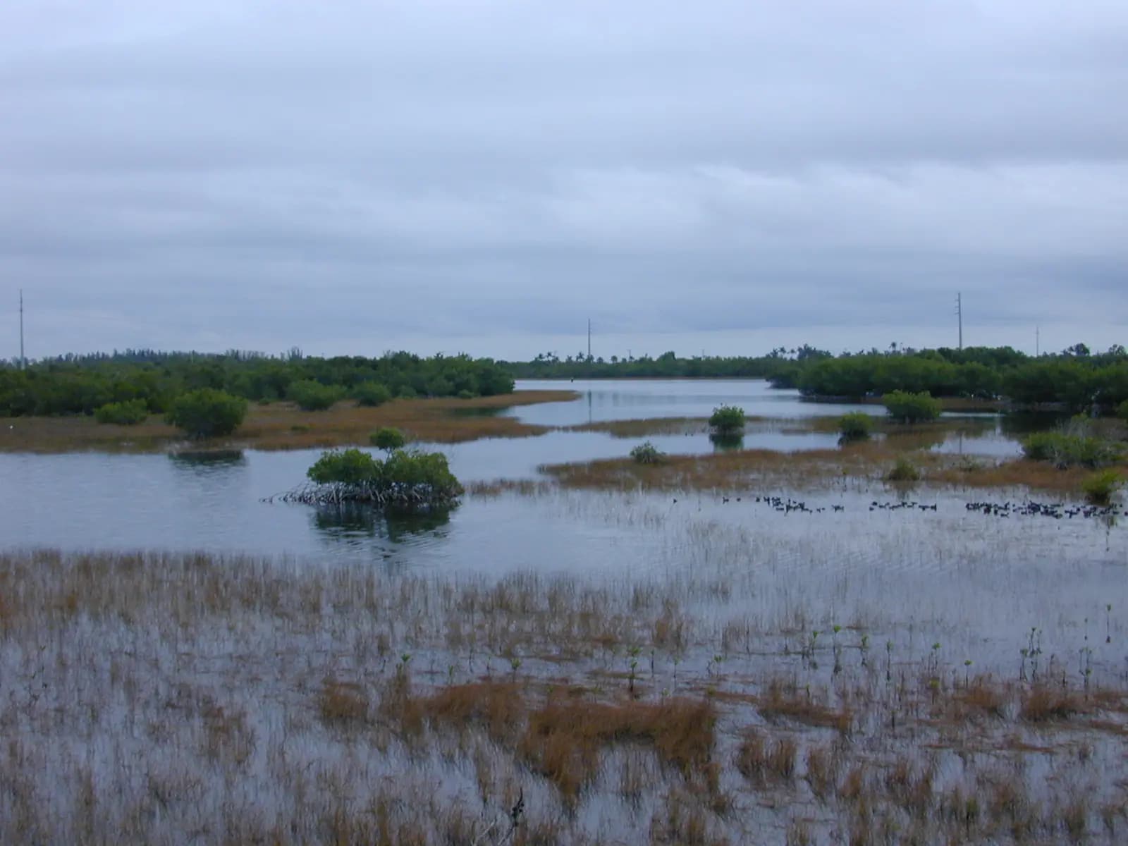
The 110,000-acre mangrove estuary between Marco and Naples, with a learning centre as its one easy front door.
1.5–4 hoursLearning centre around $10 adults, $5 children 4–12, under 3 free. Reserve waters are free to use.

Park
6,430 acres of mangrove and royal palm hammock twenty minutes east of Marco, with the last Bay City walking dredge parked by the gate.
1.5–7 hoursA small per-vehicle entry fee in the usual Florida state park band, paid at the ranger station or honour box.

Wildlife
Thirty-five thousand acres of mangrove wilderness with one land trail, one observation tower and eighteen parking spaces.
1–4 hoursFree. No entry fee and no parking charge at the Marsh Trail.

Neighbourhood
Four dredged mangrove islands north of the Jolley Bridge, with working marinas, three waterfront restaurants and no beach at all.
1.5–4 hoursFree to visit. You pay for food, boat hire or a charter, and nothing else.

Nature preserve
The half-mile boardwalk has been closed for renovation, but Shell Island Road still holds the best paddling access north of Marco.
1–4 hoursFree. There is no gate and no entry fee on Shell Island Road.

Museum
A trading post on stilts over Chokoloskee Bay, still stocked with what it sold, and the spot where Edgar Watson was shot in 1910.
1–1.5 hoursA small admission charge, in the region of $5 per adult, going towards the building's upkeep.
Neighbourhood
A 150-acre Calusa shell mound at the end of the road, twenty feet above an Everglades that is otherwise at sea level.
1.5–8 hoursFree to visit the island. The Smallwood Store charges a small admission, and boat ramps charge to launch.

Neighbourhood
Barron Collier's planned company town on the edge of the Everglades, still the land gateway to the Ten Thousand Islands.
4–8 hoursFree to visit the town. Boat tours, airboat rides and guides are charged separately.
Neighbourhood
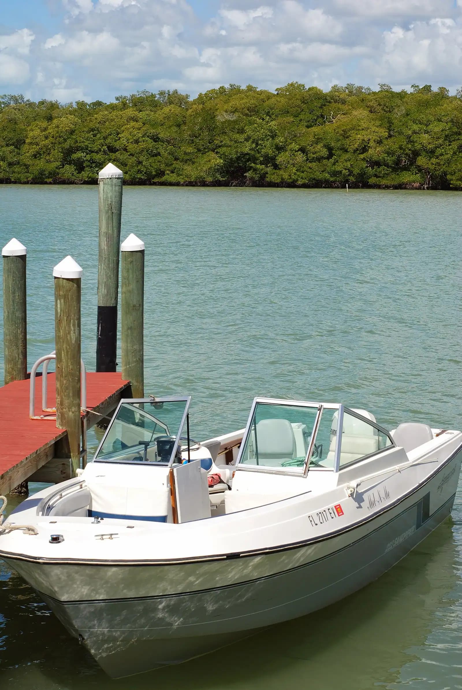
A few hundred people, one road in, stone crab traps stacked in the yards. The opposite of the resort side of the same island.
1.5–5 hoursFree to visit. Boat launch fees apply at the county ramp.
Every pin is also a link in the index beside it, so the list works before the map loads.
Every place shown on this map is also listed below as a link, grouped by area.
© OpenStreetMap contributors
Nothing on this island announces itself. These are the trips that put the places above into an order that makes sense — and the operators who can get you inside the gates.
Some links below go to Viator, our booking partner. We earn a commission on bookings made through them — at no extra cost to you, and with no influence on what we recommend.
Why we chose it
The attraction list on this island is mostly water, and a guided run through the passes is the only way to see it properly. A good captain names the keys, reads the bird activity and knows which bar is exposed at that hour of that tide. Two to four hours, and it turns a beach holiday into a place you understand.

Low Last Minute Supplier Cancellation Rate
Marco Island and Naples Pedal or Paddle Kayak Tour (opens in a new tab)
Discover the difference with Marco Ecotours Our tours are more than a business - they are our passion. We strive to ensure that every…
2 hours
Prices checked
Why we chose it
Kice Island and the beaches toward Cape Romano are the reason Marco competes with the famous shelling islands despite far shorter beaches. No road, no footfall, and shell lines left where the last tide put them. Trips are timed to the falling tide, which is the detail that separates a good operator from a scenic cruise.
Private and Luxury
Marco Island Wildlife Sightseeing and Shelling Tour (opens in a new tab)
Our Marco Island Sightseeing and Shelling Tour departs from the Goodland Boat Park, in Goodland, FL. On our two hour ecotour you will…
2 hours
Prices checked
Why we chose it
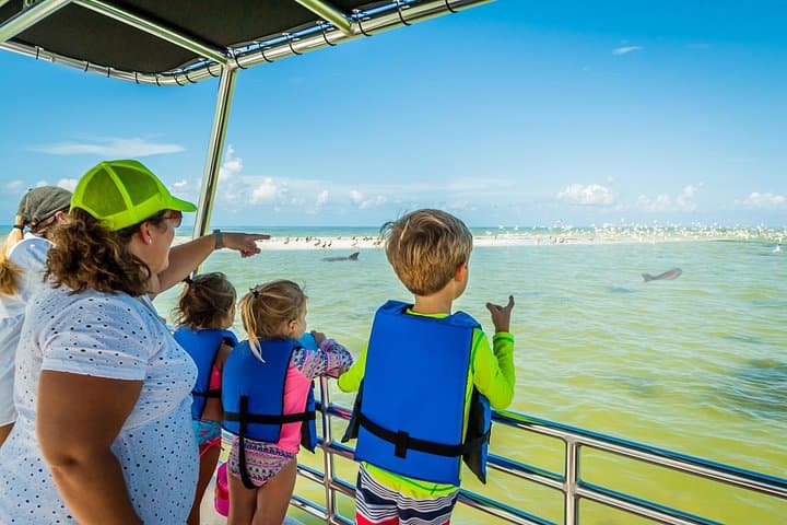
A short, sheltered run inside the passes: dolphins in the Marco River, ospreys on the markers, and a sandbar stop shallow enough for small children to stand in. Under two hours keeps it within the age at which a boat stops being exciting and starts being a seat.

Low Supplier Cancellation Rate
Marco Island Safari Truck Tour (opens in a new tab)
Climb up into the Safari truck, fasten your seatbelt and get ready for the Around the Island Safari Truck Tour! Your tour guide driver…
1–2 hours
Prices checked
Why we chose it
The mainland sites carry the day here: the refuge observation tower has an accessible lower level with scopes, the Rookery Bay learning centre is a modern indoor building, and the Historical Museum is level throughout and free. None of them require a boat, a dock ramp or the lagoon crossing at Tigertail.

Top Product
Private Shelling and Dolphin Excursion (opens in a new tab)
Our private excursion allows you to enjoy the beautiful waters of The 10,000 Islands without the crowds of tourists at a comparable price…
2–3 hours
Prices checked
Why we chose it
Museum, shell mound and owls, in that order, for the price of the petrol between them. Two of the three are free and the third is a car park charge. It is the strongest free morning on the island and it is the part of Marco most visitors drive past on their way to a beach chair.

Excellent Quality
Self-Guided Island Tour: CLEAR/Standard Kayak, SUP-Bonita Springs (opens in a new tab)
We are open 7 days a week and promise to provide you with exceptional service! Paddle Naples is a family owned business that has operated…
2 hours
Prices checked

Weather Dependent - Weather-Proof
Contact us if the date you want is not available as we can often make it happen! We commit to providing you an awesome experience…
2 hours
Prices checked
Low Last Minute Supplier Cancellation Rate
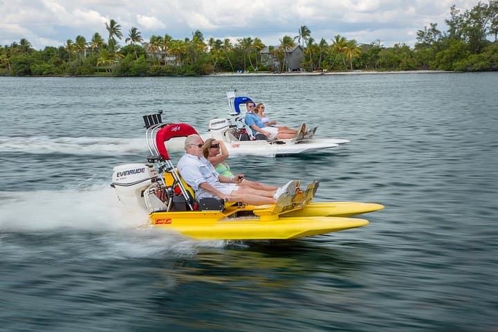
Operate your own 2 person catamaran through the winding and breathtaking waterways of the 10,000 Islands. Excitement, tranquility, thrill…
1–2 hours
Prices checked

Private and Luxury
As the top shelling company in all of Florida, we take pride in providing our guests with a truly unique and unforgettable experience. Our…
3 hours
Prices checked

Private and Luxury
Looking for a boat tour that goes beyond dolphins and shelling? This two-hour sightseeing cruise departs Goodland and travels through the…
2 hours
Prices checked
Water Tours
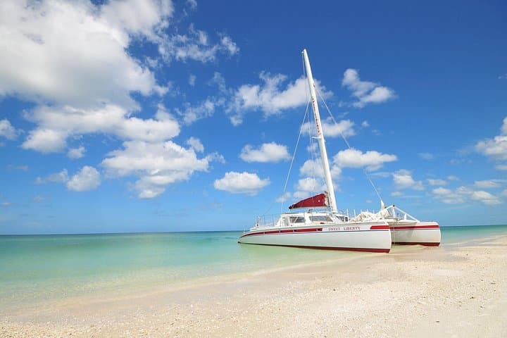
Enjoy a family favorite cruise aboard the Sweet Liberty, a 53' sailing catamaran, that can accommodate up to 44 passengers. Cruise along…
3 hours
Prices checked

Curated Catalog
Excited to catch some fish in Marco Island? Having logged many hours on these tides, Our Captains are prepared to put you on fish. All of…
2 hours
Prices checked

Nature and Wildlife Tours
Begin your private charter with a scenic cruise through Naples Bay and the waterways of Port Royal, home to some of Naples' most…
4 hours
Prices checked
On the Water
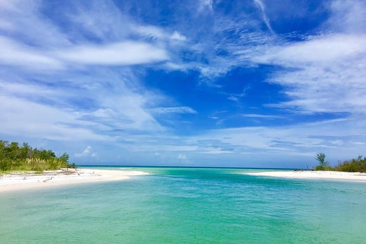
Experience the best of Marco Island’s waterways on Eco Endeavors’ Dolphin & Shelling Tour! This 2.5-hour adventure takes you deep into the…
2–3 hours
Prices checked
The directory lists places. These pages plan days.

Guide hub
Marco Island is the largest island in the Ten Thousand Islands, and the only one with traffic lights. That single sentence explains almost…

Guide hub
Nearly every bookable thing on Marco Island floats. That is not a stylistic observation, it is the shape of the market: the island's tour inventory…
Plan your trip
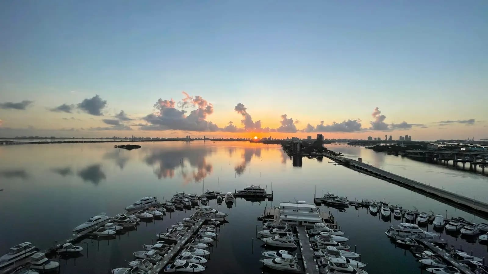
Yes, you need a car on Marco Island. No, you do not need a boat — but a boat is the thing that changes what the island is, and that is a different…

Guide hub
Marco Island has roughly four miles of Gulf-facing sand, and almost all of it is fronted by something. Condominium towers stand shoulder to shoulder…

Guide hub
Stand at the south end of Marco, at Caxambas, and look east. There is no horizon line in the usual sense. There is a low green edge that repeats…
Things to do
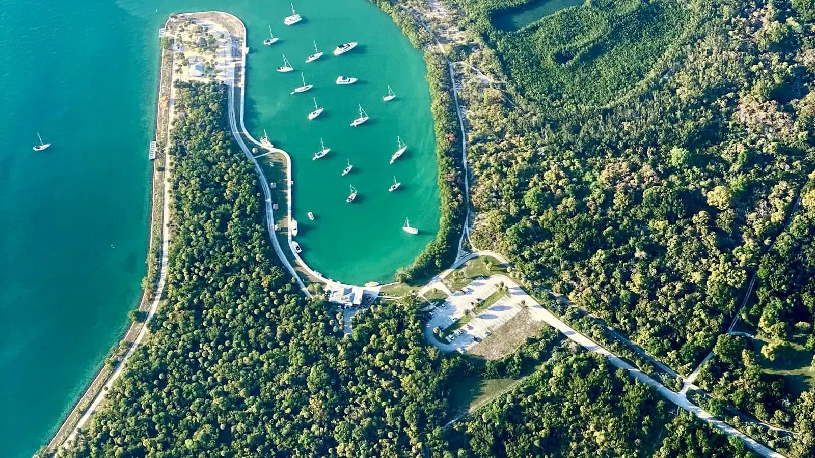
Marco is a boating island in a way that is easy to miss from the beach. The Gulf frontage is a crescent of sand with mid-rise towers behind it and…
Guide
Marco is the largest of the Ten Thousand Islands and the last piece of pavement before thirty miles of mangrove. Almost nobody arrives knowing that.
9 min readDelia Fontaine
Tigertail Beach and its tidal lagoon, the free Marco Island Historical Museum, Otter Mound Preserve on its Calusa shell mound, Caxambas Park at the southern pass, and the old settlement at Olde Marco. Offshore, the Ten Thousand Islands, Keewaydin, Kice Island and the Cape Romano site. On the mainland side, Rookery Bay Reserve, Collier-Seminole State Park, the refuge Marsh Trail, and Everglades City with the Smallwood Store at Chokoloskee.
Yes, though it is mostly outdoors and mostly free. The Historical Museum is genuinely good and costs nothing. Otter Mound Preserve is a fifteen-minute walk over a Calusa midden. The burrowing owls nest on vacant lots across the island from February to July. Rookery Bay's learning centre and the refuge observation tower are both twenty to thirty minutes away, and Everglades City is a full day east.
Nothing. Admission is free, with donations invited, and the museum generally opens Tuesday to Saturday during daytime hours. It is built around the 1896 Key Marco excavation, which recovered carved wooden Calusa objects preserved in anaerobic muck, and its permanent exhibit includes a full-size reconstructed village. Check current hours before travelling, as they shift seasonally.
You can see the site, not the domes. Two were lost to Hurricane Irma in 2017 and Hurricane Ian toppled the remainder on 28 September 2022, leaving half-submerged pilings and broken concrete in open water. Boats view it from a distance because the structure is unstable and the sand around it shifts. Shelling and sightseeing charters from Marco and Goodland still include the stop.
By water only. A scheduled shuttle runs from Rose Marina on Bald Eagle Drive several times a day, taking roughly thirty to forty minutes each way, and various sightseeing boats from Naples and Marco stop there. There are no restrooms, no lifeguards and no shade, so take water and a sun shelter. Chair and umbrella hire is available through the shuttle operator.
A two-and-a-half-acre Conservation Collier preserve on Addison Court, built on a Calusa shell midden that once covered around eighty acres. A tenth-of-a-mile mulched loop runs under gumbo limbo and strangler fig past terrace walls of stacked whelk shells built by a twentieth-century resident, Ernest Otter. It is open daily in daylight hours, entry is free, and it takes about fifteen minutes.
If you want the science behind what you are boating through, yes. The reserve protects roughly 110,000 acres of mangrove estuary between Marco and Naples, and its Environmental Learning Center on Tower Road has a two-storey exhibit hall, a 2,300-gallon aquarium and guided programmes. Admission is around $10 for adults and $5 for children, with daytime hours Tuesday to Saturday. The Briggs boardwalk has been closed for renovation, so check first.
About forty minutes east, using San Marco Road to US-41 and then the Tamiami Trail. It makes a comfortable day trip: the national park's rebuilt Gulf Coast visitor centre and its boat tours into Chokoloskee Bay, the Smallwood Store on Chokoloskee across the causeway, and the refuge Marsh Trail and Collier-Seminole State Park on the way back. Start early and carry insect repellent.
Few, because most of the island was built after 1965. Olde Marco at the northern tip is the exception: nineteenth-century settlement predating the masterplan, with an inn, small restaurants and working docks on the Marco River. The area's oldest surviving commercial building is off-island, the 1906 Smallwood Store at Chokoloskee, which is on the National Register and still run by the founder's descendants.
On undeveloped residential lots all over the island, which is where around ninety-five percent of Marco's nests are. Audubon of the Western Everglades marks each burrow with stakes, flagging and a wooden perch, so they are easy to spot from a car window during the roughly February to July nesting season. Watch from the road with binoculars or a long lens and do not step onto the lot.