Skip to content
Menu

We earn a commission if you book through this link. You pay the same price.

Search

Neighbourhood

Isles of Capri

Last updated

Four dredged mangrove islands north of the Jolley Bridge, with working marinas, three waterfront restaurants and no beach at all.

Turn west off Collier Boulevard a couple of miles before the Jolley Bridge and the road drops onto Capri Boulevard, which is the only road the Isles of Capri have. It runs the length of four low mangrove islands, ends at a seawall, and that is the entire street plan.

None of it was usable ground until the 1950s, when Leland L. "Doc" Loach bought the islands, dredged the bays for fill and joined them together into something you could build a house on. The technique is exactly the one that produced Marco Island a decade later. What is different is the scale, and the fact that Capri stayed unincorporated — this is Collier County, not the City of Marco Island, with its own rules and a famously stubborn local politics about what gets built next.

What Capri has instead of size is water on every side. The isles sit where the Marco River, Tarpon Bay and Johnson Bay run into each other, with the protected shallows of Rookery Bay reaching north behind them. From a dock here you are in mangrove backcountry inside five minutes and out through Capri Pass into the Gulf in fifteen. That geography is the whole explanation for why a place with a few hundred permanent residents supports marinas, fishing guides, kayak outfitters and three waterfront restaurants.

Be clear about what is not here. No beach — not a strip of one. No hotel row, no shopping, no attraction with a ticket booth, no museum. The reasons to come are a table on a dock, a boat you have already booked, or a taste of what this coast looked like before the towers.

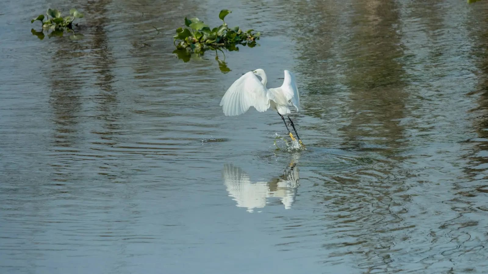
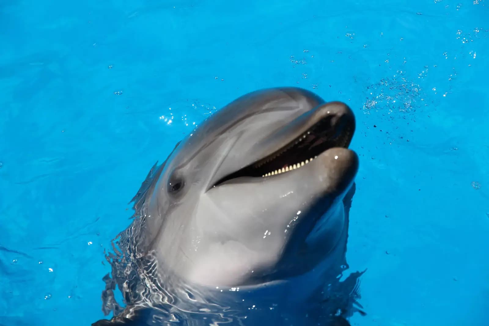
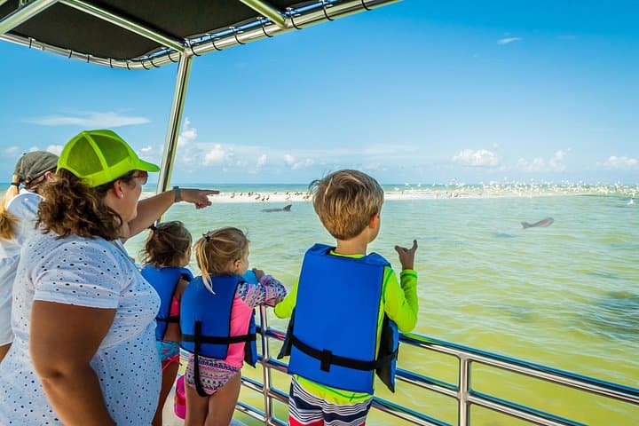
Wildlife is close and unceremonious. Manatees drift the canals through the cool months, dolphins work the channel edges, and the mangrove islands opposite carry roosting pelicans and wading birds that no one on Capri finds remarkable any more. Sunset over Johnson Bay is the local ritual, and the decks fill for it.

Getting there and parking

Capri Boulevard turns west off Collier Boulevard (CR-951) about two miles north of the Jolley Bridge. There is one set of signs and one entrance; miss it and the next turn is the bridge itself.

Driving time is ten minutes from Marco Island's north end, twenty to twenty-five from central Naples, and around forty-five from Naples' north side in February traffic.

By water, Capri sits inside Capri Pass, which is the deepest and most used inlet on this part of the coast. Approaching from the Gulf, the pass shoals and shifts; local knowledge or current charts matter more here than they do at Big Marco Pass.

Parking is kerbside and in small private lots. On a winter weekend evening there is effectively none, so either eat early or plan to arrive by boat.

The one road in, and where to leave the car

Capri Boulevard leaves Collier Boulevard (CR-951) on the west side, roughly two miles north of the Jolley Bridge. From Marco Island's north end that is a ten-minute drive. From central Naples, twenty to twenty-five minutes outside season traffic.

Once you are on it you cannot get lost. Capri Boulevard crosses the four islands in order and stops at the water. Parking is kerbside plus a handful of small lots belonging to the businesses that built them, which means on a Saturday evening in February there is nowhere at all to put a car. Come early, come on a weekday, or arrive by boat.

There is no bus, no scheduled water taxi and no through road — Capri is a cul-de-sac by design, which is most of why it still feels the way it does. Cyclists riding out from Marco should know that the shoulder on Collier Boulevard between the island and the Capri turn is narrow and the traffic is fast.

Eating on the water

Three long-established waterfront restaurants operate on the commercial island, and which one you want depends entirely on the evening you are after.

  • The Blue Heron is the dress-for-dinner option: small, reservation-led, and the one people drive down from Naples for.
  • Capri Fish House sits on Johnson Bay with a deck and a sand frontage, a dock for arriving by boat, and a straightforward local seafood menu.
  • Pelican Bend is the old-school one — Italian-leaning, unfussy, and where the boat crowd ends up.

Treat that as a starting point, not gospel. Ownership, seasons and hours on a small island change, several places close for part of the summer, and at least one takes reservations only in the winter months. Telephone ahead, particularly between June and September when a restaurant may be shut for weeks at a time.

Arriving by boat is ordinary here rather than a novelty, but dock space is limited and first-come. Do not plan a sunset arrival for six people with no fallback.

Why the guides base themselves here

Capri is the closest launch to Rookery Bay National Estuarine Research Reserve, which protects a long stretch of undeveloped mangrove estuary between Marco Island and Naples. Behind the isles the water breaks up into creeks, oyster bars and spoil islands that a flats boat or a kayak can work and nothing larger can follow.

Kayak and paddleboard rentals operate seasonally on the commercial island, and there are put-ins you can reach without towing anything. Check the tide before you commit. Much of this backwater is a foot deep at low water and then turns to exposed mud and oyster bar, which is miserable to walk on and unkind to a hull.

The fishing is the estuary standard for this coast: snook along the mangrove edges, redfish over the bars, spotted seatrout on the grass, tarpon through the passes in late spring and summer. When a winter front drops the water temperature, fish stack into the deeper residential canals, and Capri's own seawalls become the fishery.

Capri, Goodland and Marco compared

Visitors often ask how Capri differs from Goodland, and the comparison holds up to a point. Both are small, watery and older in feel than Marco's resort side. Goodland is a working fishing village at the island's southeast corner with an eccentric Sunday scene and its face turned towards the Ten Thousand Islands. Capri is quieter, more residential, considerably wealthier per square foot, and oriented north towards Naples.

Against Marco Island itself there is no contest on facilities. Marco has the beaches, the hotels, the shops and the museum; Capri has none of them. What Capri has is a dock to eat on and a fifteen-minute run to water that most visitors to this coast never see.

So: come for a long lunch, a charter departure or a sunset. Do not come expecting an afternoon's worth of things to do, and do not bring a towel.

Tours that visit Isles of Capri

Operators run these trips past Isles of Capri, or stop there as part of a longer route. We list what the booking data supports — not everything that mentions the name.

Some links below go to Viator, our booking partner. We earn a commission on bookings made through them — at no extra cost to you, and with no influence on what we recommend.

Shared departurespriced per seat, best value for one or two

Private and small-group optionsoften cheaper per head for a family or a group of six

Near Isles of Capri

Straight-line distances, so allow more on the road — the island is long and has one main parkway.

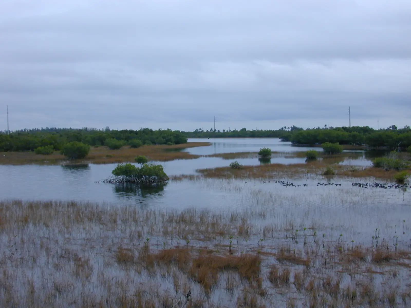
  • Brackish shallows and low mangrove islands at Rookery Bay, with wading birds on the far bank

    Nature preserve

    Rookery Bay National Estuarine Research Reserve

    The 110,000-acre mangrove estuary between Marco and Naples, with a learning centre as its one easy front door.

    1.5–4 hoursLearning centre around $10 adults, $5 children 4–12, under 3 free. Reserve waters are free to use.3.6 mi away

  • Small boats moored along a sheltered river channel with a low mangrove shoreline beyond

    Landmark

    Judge S.S. Jolley Bridge

    Free

    Marco Island's front door: a fixed 55-foot span over the Marco River, with shore fishing at its foot and the busy 951 ramp alongside.

    0.5–3 hoursFree to cross and free to fish from the shoreline. Launching and parking at the boating park are charged.1.2 mi away

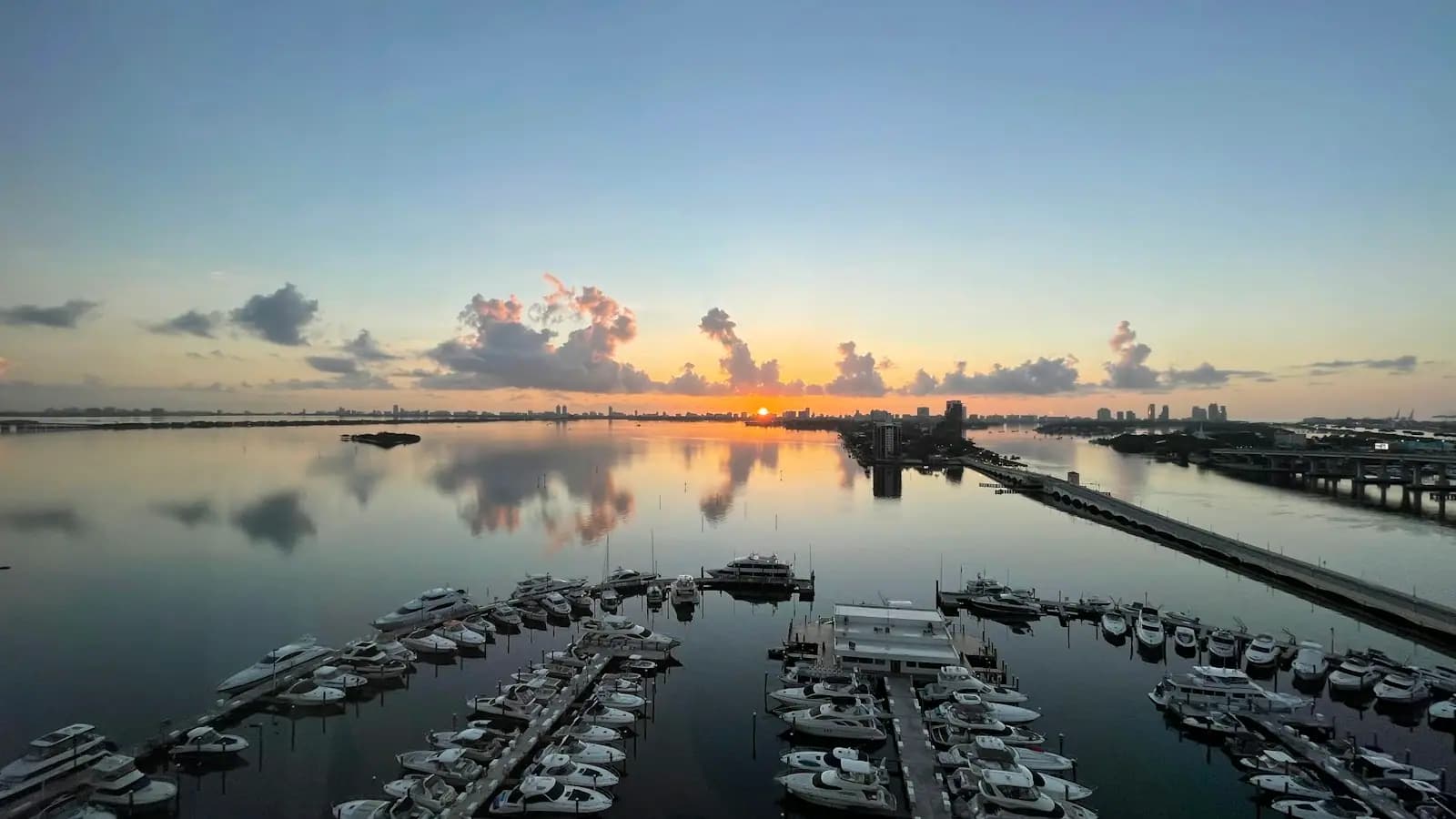
  • Motor yachts moored in neat rows along floating docks in a sheltered basin

    Marina

    Marco Island Marina

    122 owner-held slips on the Big Marco River just inside the Jolley Bridge, and one of the few places a visiting boat can stay on Marco.

    0.5–2 hoursDockage is charged by the night or by the season. Not a public attraction — there is no visitor access to the docks.1.7 mi away

  • A wooden pioneer-era house with wide verandahs shaded by mature trees

    Neighbourhood

    Olde Marco

    Free

    The north-end village that was here before the canals were dredged, and the waterfront most Marco boat trips still leave from.

    1–4 hoursFree to walk. Charters, boat rentals and meals are the cost.0.2 mi away

Isles of Capri: common questions

Is Isles of Capri part of Marco Island?

No. Isles of Capri is an unincorporated community in Collier County, sitting a couple of miles north of the Jolley Bridge on its own dead-end road. Marco Island is an incorporated city with its own council, police department and ordinances, and Capri is governed by the county instead. In practice the two share a postcode area, a grocery run and a set of waterways, but they are not the same place and the rules are not the same.

Is there a beach at Isles of Capri?

There is no public beach on the Isles of Capri. The shoreline is seawall, mangrove and private dock, and the nearest sand is a small frontage attached to one of the restaurants. For a beach day you want Tigertail Beach, South Marco Beach or Caxambas Park on Marco Island itself, all within about twenty minutes by car. Come to Capri for the water rather than for sitting beside it.

Can you get to Rookery Bay from Isles of Capri?

Yes, and it is the closest ordinary launch point. Rookery Bay National Estuarine Research Reserve protects the estuary running north from Capri towards Naples, and guides based here reach it in minutes rather than the better part of an hour. Kayakers should plan around the tide, because much of the backwater behind the isles is roughly a foot deep at low water and turns to mud and oyster bar.

How long should you spend at Isles of Capri?

Two hours is about right if you are coming for lunch and a look at the water, and a half day if you have a kayak or a charter booked. There is no attraction to work through, no shop to browse and nowhere to swim, so people who arrive expecting an afternoon of activity leave disappointed. Treat it as a meal with a view and a launch point, and it works.