Skip to content
Menu

We earn a commission if you book through this link. You pay the same price.

Search

Nature preserve

Rookery Bay National Estuarine Research Reserve

Last updated

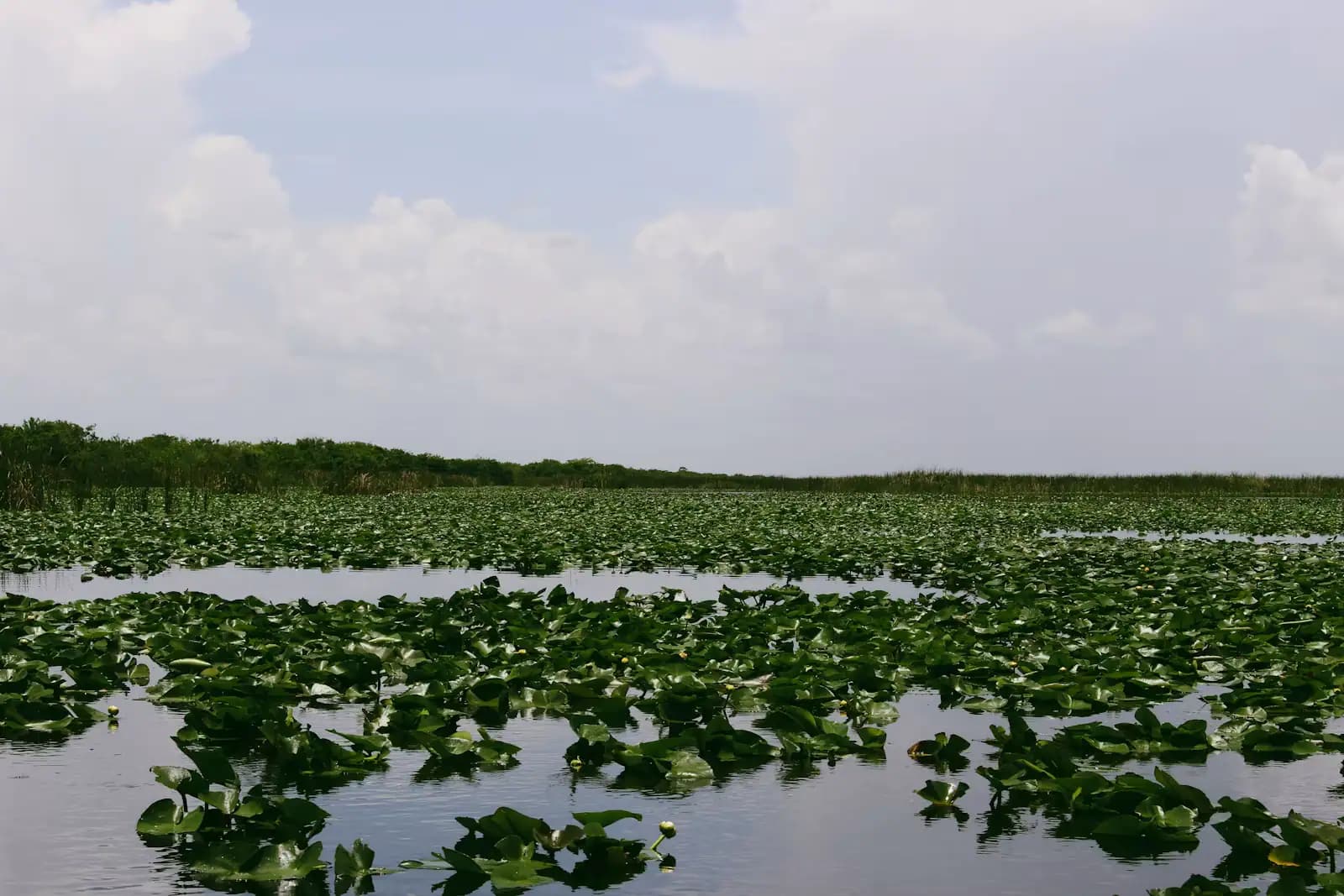
The 110,000-acre mangrove estuary between Marco and Naples, with a learning centre as its one easy front door.

Photo: Photographer: Heather Henkel, U.S. Geological SurveyPublic domain

Closed at the moment

Briggs Boardwalk, the reserve's short nature trail on Shell Island Road, has been closed for renovation. Check its status before planning a walk there.

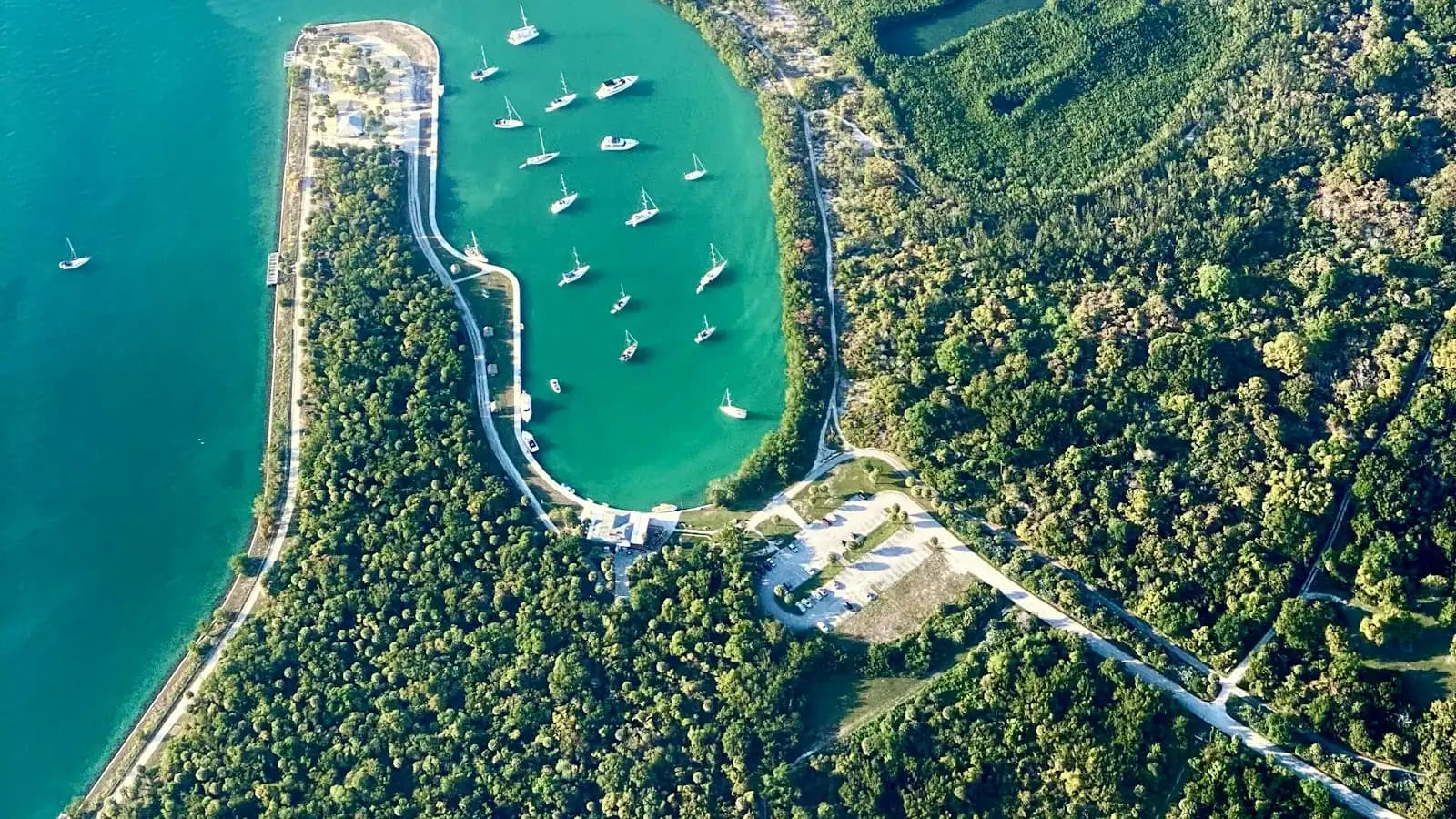
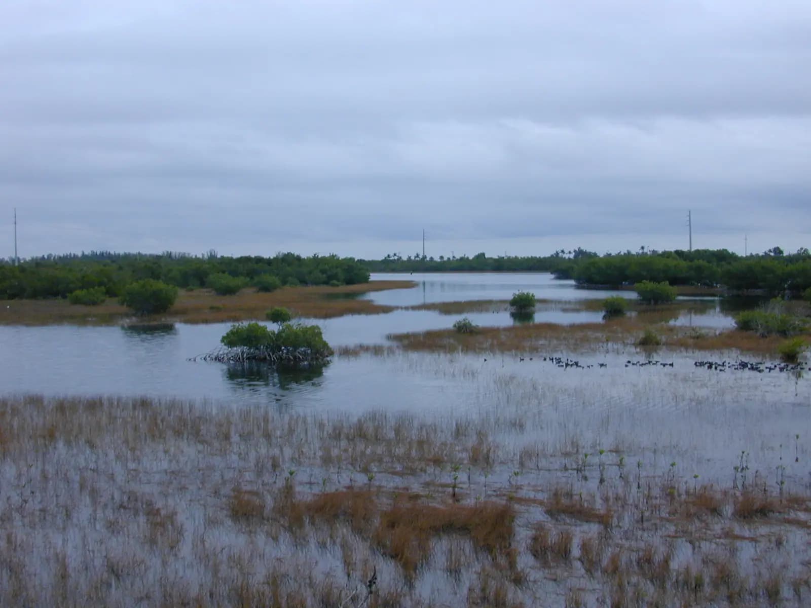
Drive north off Marco Island and the development stops almost immediately. The land between the Jolley Bridge and the southern edge of Naples is not waiting for a developer; it is Rookery Bay National Estuarine Research Reserve, and it covers roughly 110,000 acres of mangrove forest, tidal bay, oyster bar and undeveloped barrier island. It takes in a substantial share of what is left of the mangrove coast in south-west Florida, and it is one of the reasons Marco feels like an island rather than a suburb.

Designated in the late 1970s and run by Florida's Department of Environmental Protection, the reserve exists to be studied as much as visited. Water quality monitoring, oyster restoration, shorebird protection and invasive species work run continuously, including collaboration on the Burmese python research that has removed tens of thousands of pounds of snakes from this corner of Collier County.

For a visitor the practical problem is access. Most of Rookery Bay has no road, no trail and no shoreline you can legally land on, and the usual way to experience it is from a boat or kayak. The reserve's Environmental Learning Center on Tower Road, just off Collier Boulevard north of the bridge, is the exception and the sensible starting point: a two-storey building with a large mangrove aquarium, a touch tank, a short film, an art gallery and staff who can tell you where the birds are this week.

From there the options open up. Kayak launches at Shell Island Road and Isles of Capri put you into the reserve's back channels. Guided boat trips run from the learning centre in season. And every fishing charter and eco-tour out of Marco crosses reserve water within minutes of leaving the dock, whether the operator mentions it or not.

Getting there and parking

The Environmental Learning Center is on Tower Road, off Collier Boulevard between Marco Island and Naples. From the Jolley Bridge head north and it is signposted on the left within about ten minutes. From central Naples allow twenty to twenty-five minutes south.

There is a free car park at the centre. No public transport serves it.

The reserve's other access points are separate places. The Shell Island Road launch and Briggs Boardwalk are further north off Collier Boulevard down an unpaved road; the Isles of Capri paddlecraft park is west off Collier Boulevard on Capri Boulevard. Do not set the reserve's headquarters address in a navigation app and expect to arrive at a kayak launch.

By boat, most of the reserve is reached from the Marco River, Capri Pass or the back bays, and every Marco marina sits within a few minutes of reserve water.

The Environmental Learning Center

The centre is at 300 Tower Road, off Collier Boulevard between Marco and Naples, with its own car park. Opening has run Tuesday to Saturday, with the reserve closing the building through September each year for maintenance, and slightly shorter summer hours in July and August. Sunday and Monday are closed days. Check before you drive: the September closure catches people out every year.

Admission has been around ten dollars for adults and five for children roughly four to twelve, with under-threes free and free entry for Friends of Rookery Bay members and for active and retired military families. Money supports the reserve's education programmes rather than the state's general fund.

Inside, the anchor exhibit is a 2,300-gallon tank built around a sculpted red mangrove, which shows you the underwater half of a habitat you otherwise only ever see from above. A smaller touch tank holds sea stars, crabs and other shallow-water animals and is staffed at busy times. There is a short documentary in the auditorium, an art gallery with rotating local work, and a viewing platform.

Allow ninety minutes to two hours. It is the one properly indoor, properly air-conditioned natural history stop within twenty minutes of Marco Island, which makes it valuable in August and during an afternoon thunderstorm.
Getting onto reserve water

The reserve is a water landscape and it rewards being on it. Three approaches work.

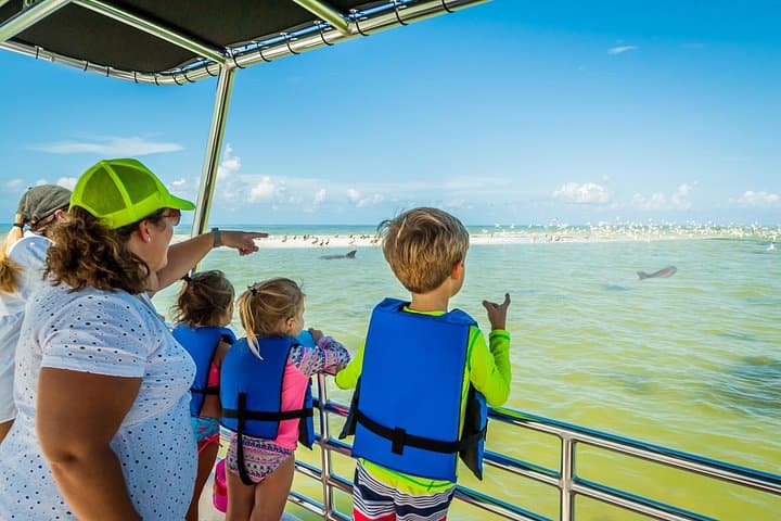
Guided trips from the learning centre, when they are running, put a naturalist on the boat with you and go places charter captains generally do not. They are seasonal, they book out, and the calendar is published a season at a time.

Paddling is the cheaper and more flexible option. There is a launch on Shell Island Road, reached by an unpaved road off Collier Boulevard, and another at the Isles of Capri paddlecraft park where launch fees are posted at the site. From either you can work the back channels, mangrove tunnels and oyster bars with almost no powerboat traffic. Go on a rising tide if you are new to it: getting stuck on a falling tide in a mangrove creek is the local rite of passage, and it costs hours.

Powerboat and charter access is straightforward from any Marco marina, but the rules are not intuitive. Several beaches and shoals within the reserve, including sections of Keewaydin Island, Morgan Beach and Second Chance, close to landing from 1 March to 31 August for nesting birds and turtles. Camping south of San Marco Road is prohibited from 1 April to 31 October. Posted signs on the ground are the authority.

What you will actually see

Mangroves first, because everything else follows from them. Red mangroves on their arching prop roots hold the outer edge, black and white mangroves behind them, and the whole system works as a nursery: juvenile snook, redfish, tarpon and snapper spend their early life inside it before moving out to the passes.

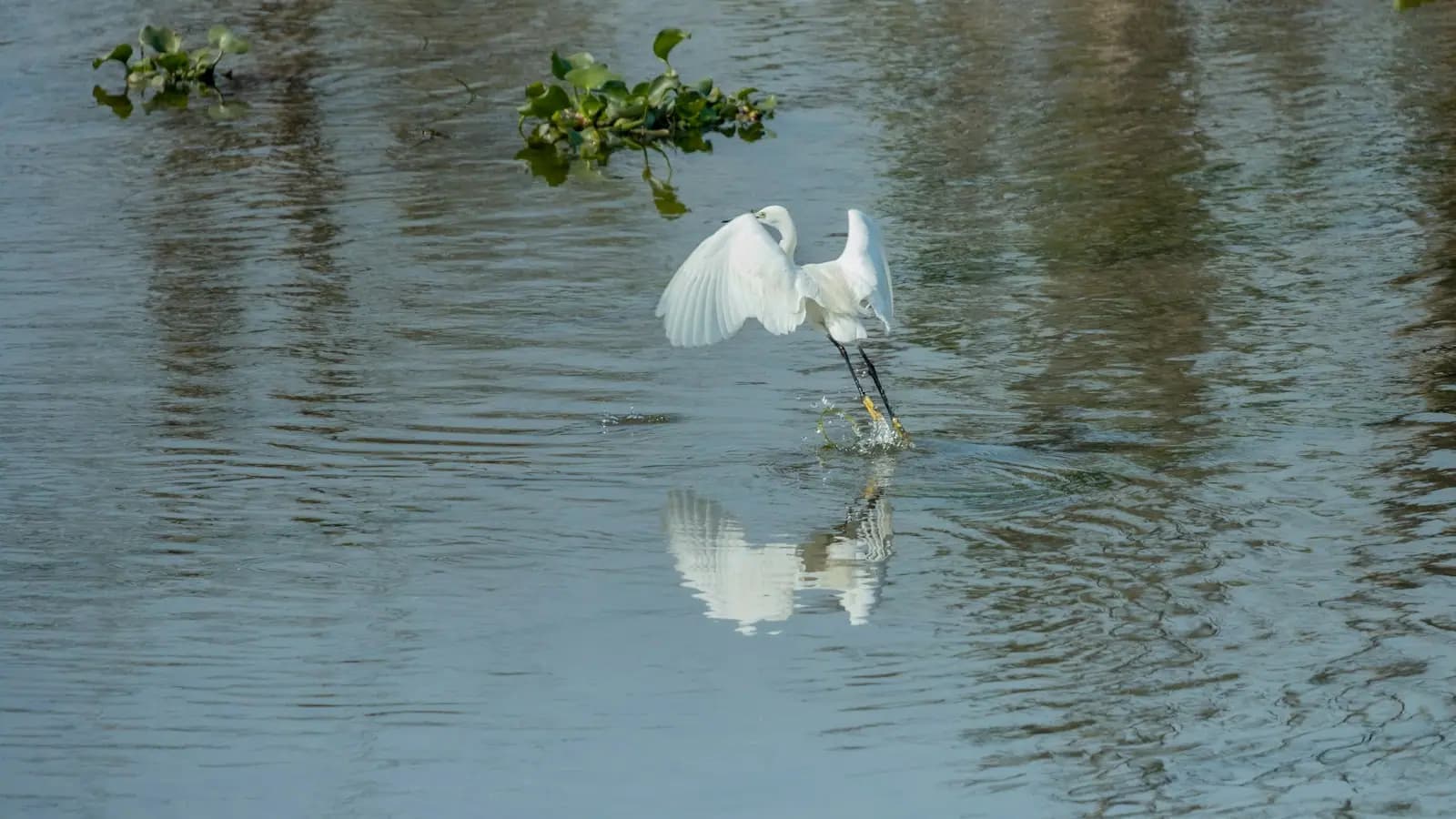
Birds are the visible reward. Wood storks, roseate spoonbills, reddish egrets, white pelicans in winter, ospreys year-round and bald eagles more often than visitors expect. The reserve's name is not decorative; rookeries of nesting wading birds are one of the things it was created to protect.

Bottlenose dolphins work the bays and passes daily. West Indian manatees move through in numbers, and in cool weather they crowd into warmer, sheltered water, including the canal systems behind Marco Island, which is why the speed zones matter.

The harder stories are here too. Burmese pythons are established in this part of Collier County, and reserve staff work with researchers who track radio-tagged males to find breeding females. Invasive Brazilian pepper and melaleuca are under continuous control. Hurricanes Irma in 2017 and Ian in 2022 both reshaped the reserve's shoreline, and the mangrove die-back from those storms is still visible from the water in places.

Tours that visit Rookery Bay

Operators run these trips past Rookery Bay, or stop there as part of a longer route. We list what the booking data supports — not everything that mentions the name.

Some links below go to Viator, our booking partner. We earn a commission on bookings made through them — at no extra cost to you, and with no influence on what we recommend.

Shared departurespriced per seat, best value for one or two

Private and small-group optionsoften cheaper per head for a family or a group of six

Near Rookery Bay

Straight-line distances, so allow more on the road — the island is long and has one main parkway.

  • A raised wooden boardwalk running out across wetland vegetation into open water

    Nature preserve

    Briggs Nature Center and Shell Island Road

    Free

    The half-mile boardwalk has been closed for renovation, but Shell Island Road still holds the best paddling access north of Marco.

    1–4 hoursFree. There is no gate and no entry fee on Shell Island Road.1.9 mi away

  • A small boat at anchor over clear shallow water off an undeveloped mangrove shoreline

    Beach

    Keewaydin Island

    Free

    Eight miles of undeveloped barrier island with no bridge, no road and no facilities, reachable only by boat from Marco or Naples.

    3–8 hoursThe beach is free. The cost is the boat: shuttle fare, charter or rental.4.6 mi away

  • Docks and small boats along a narrow residential canal lined with mangroves

    Neighbourhood

    Isles of Capri

    Free

    Four dredged mangrove islands north of the Jolley Bridge, with working marinas, three waterfront restaurants and no beach at all.

    1.5–4 hoursFree to visit. You pay for food, boat hire or a charter, and nothing else.3.6 mi away

  • Small boats moored along a sheltered river channel with a low mangrove shoreline beyond

    Landmark

    Judge S.S. Jolley Bridge

    Free

    Marco Island's front door: a fixed 55-foot span over the Marco River, with shore fishing at its foot and the busy 951 ramp alongside.

    0.5–3 hoursFree to cross and free to fish from the shoreline. Launching and parking at the boating park are charged.4.5 mi away

Rookery Bay: common questions

How much does it cost to visit Rookery Bay?

The reserve's waters are free to paddle or boat on. The Environmental Learning Center on Tower Road charges admission, which has been around ten dollars for adults and five for children of roughly four to twelve, with under-threes and Friends of Rookery Bay members free. Guided boat trips and kayak programmes are priced separately. Rates change, so check the reserve's current listing before you go.

Is Rookery Bay worth visiting with children?

Yes, particularly the learning centre. The 2,300-gallon mangrove aquarium shows the underwater half of a habitat children otherwise see only as a wall of green, and the touch tank with sea stars and crabs holds attention for a long time. Ninety minutes covers it comfortably. It is air-conditioned and fully indoors, which makes it one of the few reliable wet-afternoon options within twenty minutes of Marco Island.

Can you kayak in Rookery Bay Reserve?

Yes, and it is the best way to see the place. Launches at Shell Island Road and at the Isles of Capri paddlecraft park put you into sheltered back channels with little powerboat traffic. Paddle on a rising tide if you are unfamiliar with the area, because mangrove creeks drain fast and stranding is common. Several beaches and shoals within the reserve are closed to landing from 1 March to 31 August for nesting birds.

How big is Rookery Bay Reserve?

Around 110,000 acres, covering the estuary between Naples and the northern Ten Thousand Islands, including mangrove forest, tidal bays, oyster bars and undeveloped barrier islands such as Keewaydin. It protects a large share of the mangrove coastline remaining in south-west Florida. Designated in the late 1970s and managed by Florida's Department of Environmental Protection, it functions as a working research site as much as a public reserve.