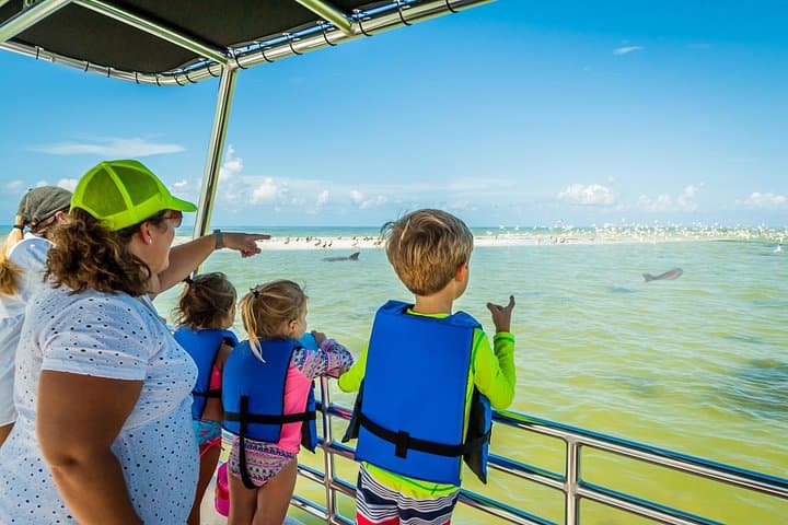
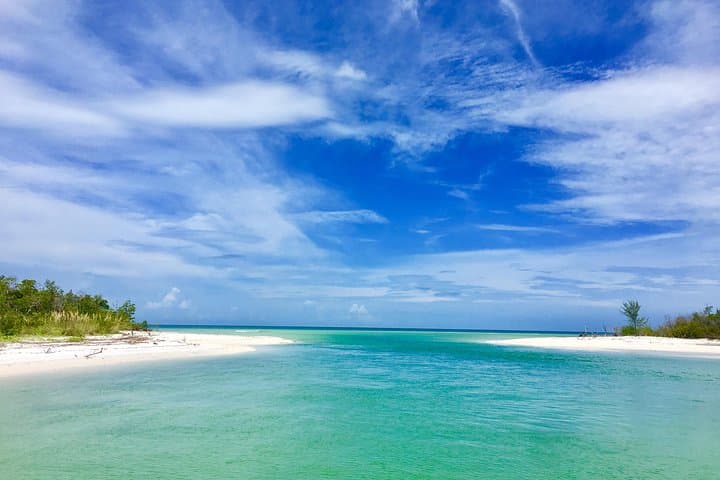
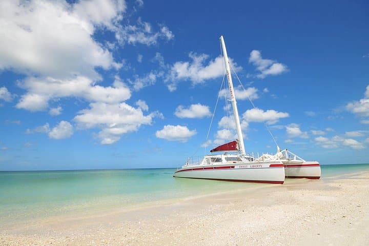
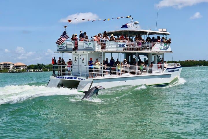
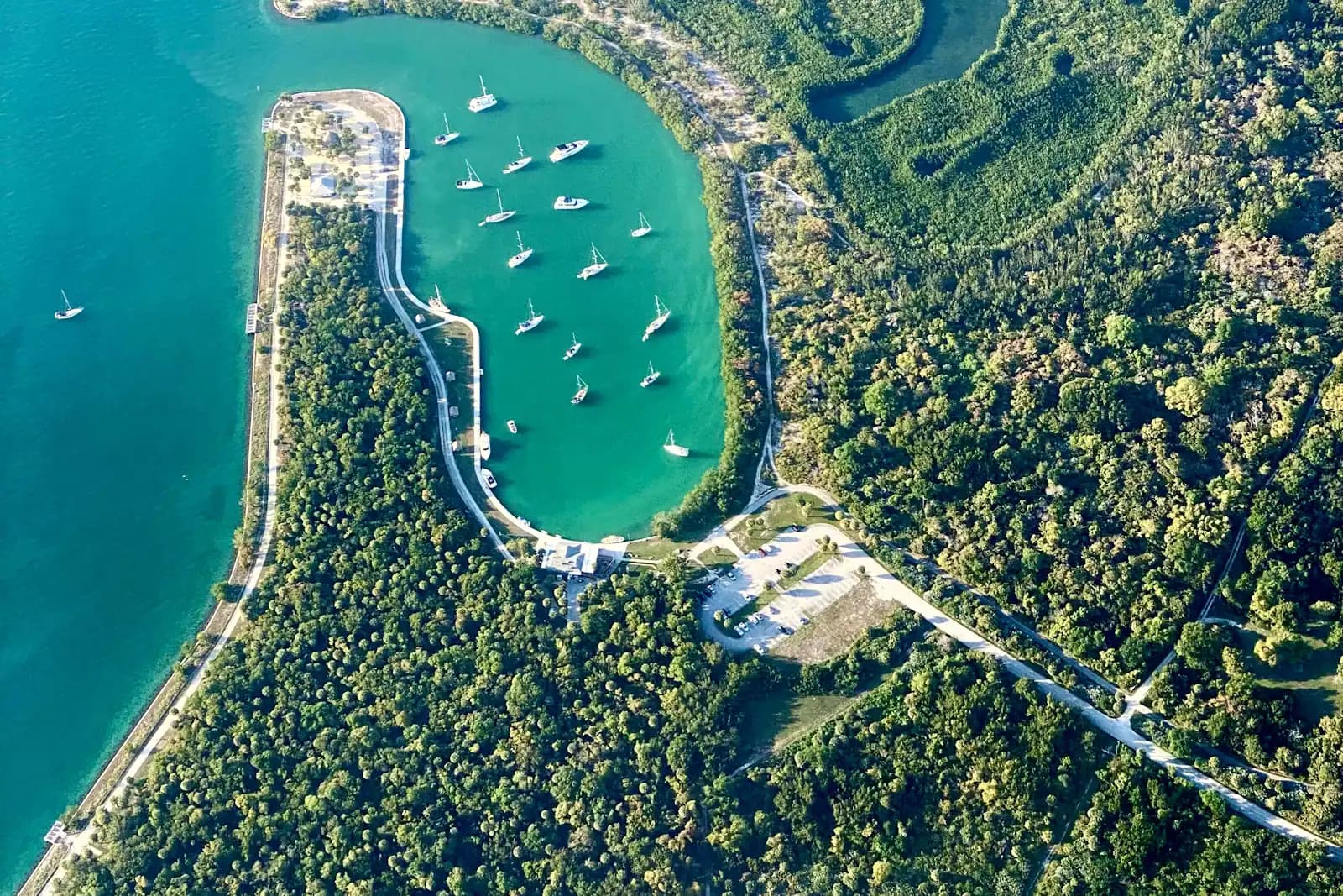
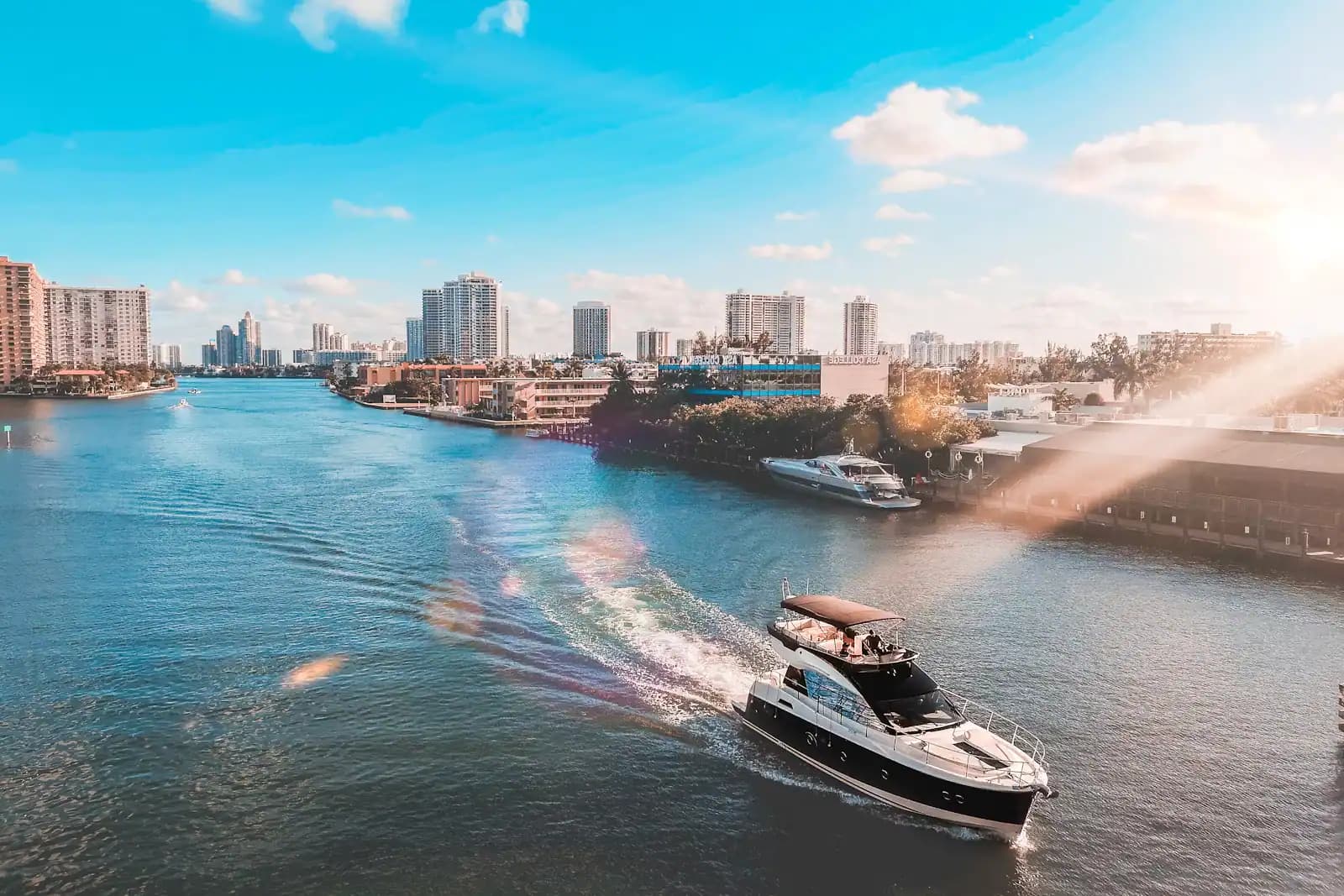
Stand at the south end of Marco, at Caxambas, and look east. There is no horizon line in the usual sense. There is a low green edge that repeats itself out past the limit of what you can resolve, broken by silver gaps that might be channels or might be bays. That is the chain, and Marco is the top of it — the biggest island in the group, the only one with a paved grid of streets, and the reason a visitor can sleep in a hotel bed and be inside a federal wilderness forty minutes later.
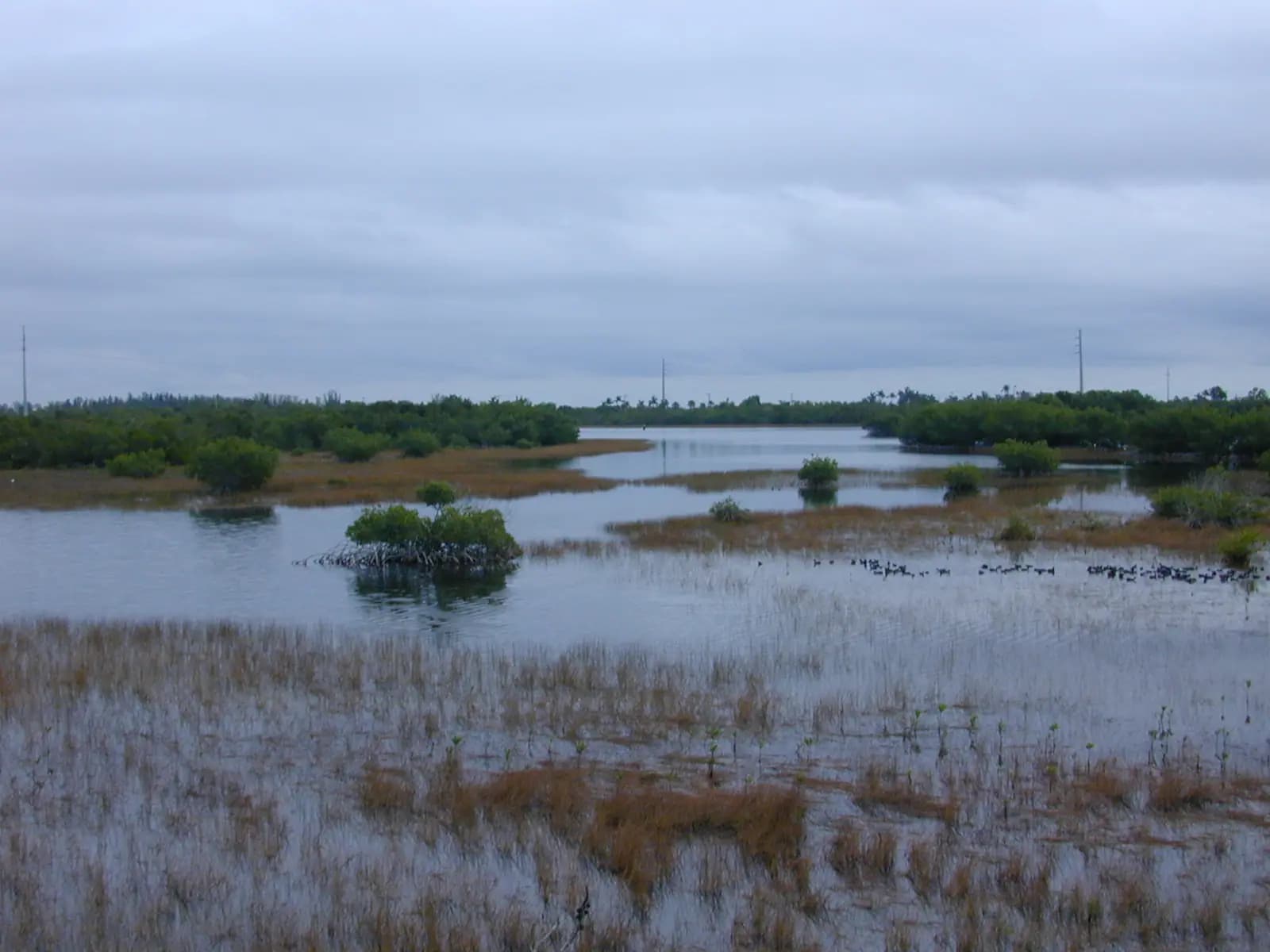
The name oversells the count and undersells the strangeness. There are hundreds of islands here, not thousands, and almost none of them are islands in the way a Caribbean postcard means it. They are mangroves standing on their own roots in shallow salt water. A red mangrove propagule lodges on an oyster bar, catches sediment, drops more roots, and over centuries a shoal becomes land. Many of the larger keys sit on Calusa shell mounds — the shell works that people built here for a thousand years before Europeans arrived, which is also why a few islands have the only high ground for miles.
Officially the water breaks into three jurisdictions you will hear named on any boat. The Ten Thousand Islands National Wildlife Refuge covers roughly 35,000 acres between Marco and Everglades City, with its usable boat access at Goodland and at Port of the Islands up on US-41. South and east of that, Everglades National Park's Gulf Coast district takes over and runs to Cape Sable, threaded by the hundred-mile Wilderness Waterway. North and inshore of Marco, Rookery Bay National Estuarine Research Reserve holds the estuary between here and Naples. The boundaries matter less to the view than to what you are allowed to do: camping, permits, closures and speed zones all change as you cross them.
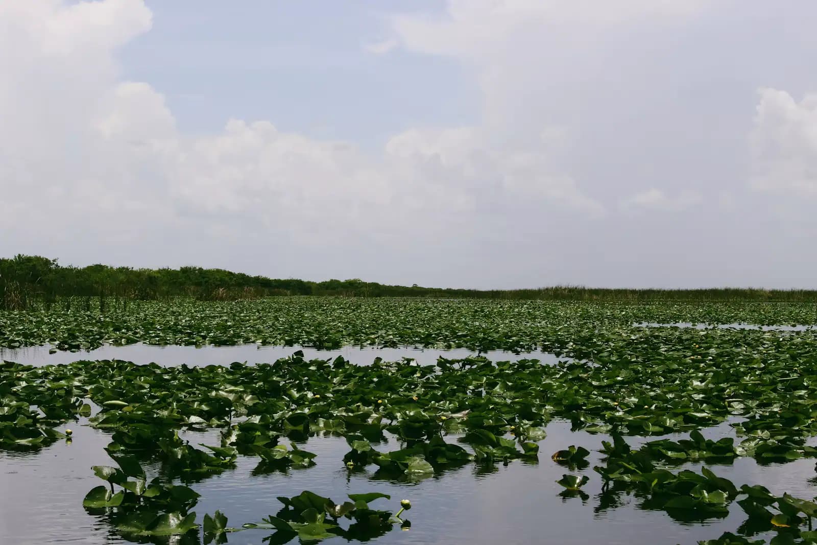
What does not change is the tide. Everything here happens at a depth measured in feet, sometimes in inches. A flat you crossed on the way out at eleven in the morning can be a mudbank by two in the afternoon. Mangrove tunnels that look like an invitation at high water become a low green ceiling on your head an hour later. The swing at the Gulf beach is modest — roughly two to three and a half feet on most days, with two uneven highs and two uneven lows — but the timing runs late the further inland you go, because the water has to physically climb Big Marco River and squeeze through the bends before it reaches the back bays.
Which is the honest summary of this entire place. It is not difficult water because of waves. It is difficult water because it is shallow, unmarked, repetitive to look at, and on a clock. That is why a guide is worth what a guide costs here, and why the people who know it best talk about hours rather than distances.