Private and Luxury
Marco Island Wildlife Sightseeing and Shelling Tour (opens in a new tab)
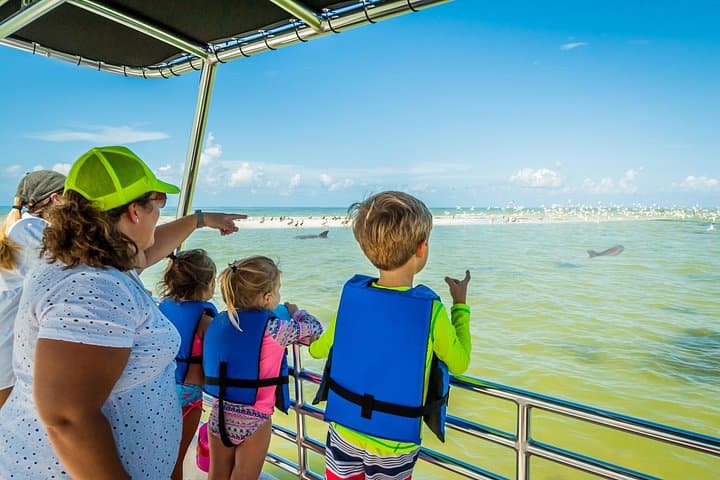
Our Marco Island Sightseeing and Shelling Tour departs from the Goodland Boat Park, in Goodland, FL. On our two hour ecotour you will…
2 hours
Prices checked
Water feature
Last updated
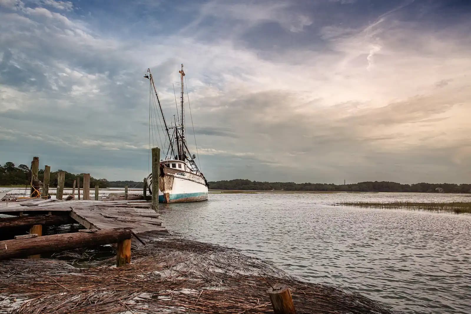
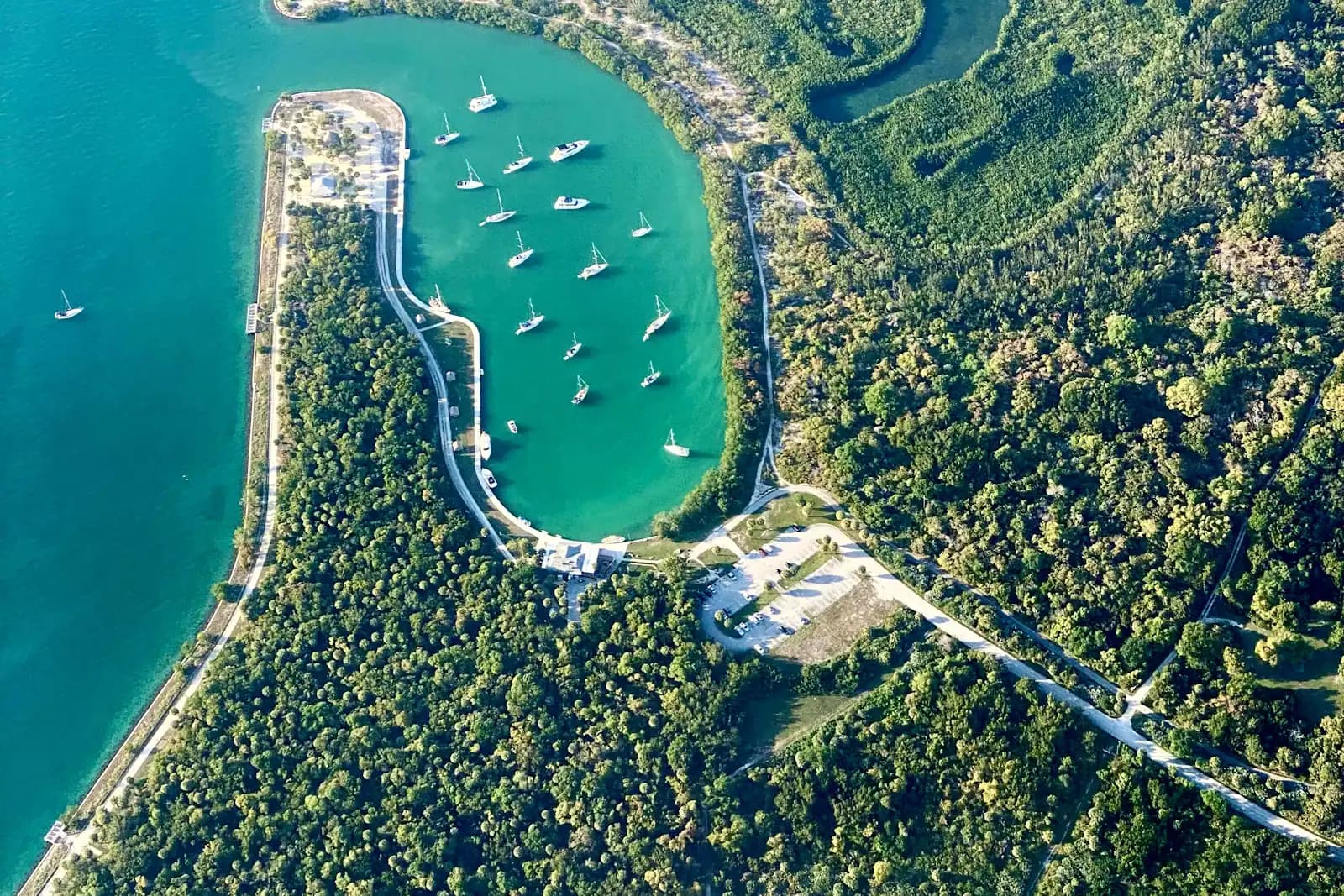
Marco Island's quiet back-side estuary, a foot deep over grass and oyster bar, best seen from a kayak and barely seen from land.
Photo: olekinderhookCC BY 3.0
The Gulf side of Marco Island is the postcard. Barfield Bay is the other side, and almost nobody photographs it. It is the shallow estuary that fills the island's southeast quarter, bounded by the residential streets off Barfield Drive on one shore and by Key Marco on the other, draining south towards Caxambas Pass through a maze of flats, spoil banks and oyster bar.
It is shallow in a way that visitors consistently underestimate. Much of the bay carries a foot or two of water at low tide over turtle grass and mud, and long stretches of oyster bar dry out entirely. That makes it useless to a cruising boat and ideal for everything else: kayaks, paddleboards, flats skiffs, and the birds that work water this depth.
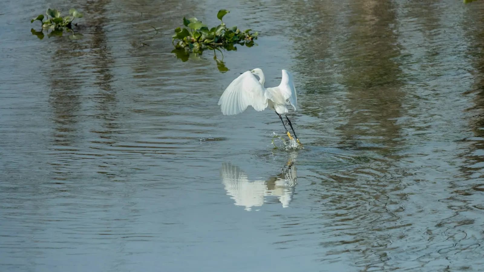
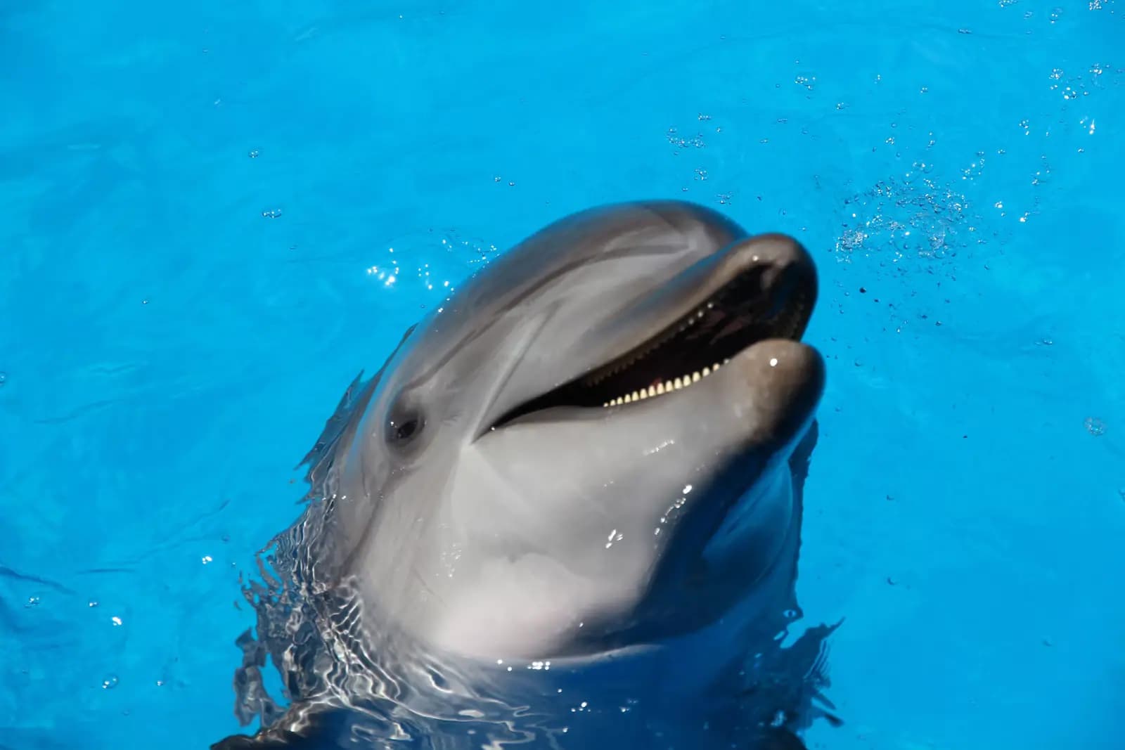
What lives here is the reason to bother. Wading birds are constant — great blue herons, tricoloured herons, snowy and great egrets, white ibis working the mud in flocks, and in the cooler months roseate spoonbills that turn up pink and improbable against grey-green mangrove. Ospreys nest on the channel markers. Bottlenose dolphins push into the deeper cuts on a rising tide.
The bay also holds the strangest piece of archaeology on this coast. The island on the far shore, now the gated community of Key Marco, was called Horr's Island until a developer renamed it in 1988. It carries four mounds and a shell ring, and one of the oldest known mound burials anywhere in the eastern United States, at roughly 3,400 radiocarbon years before the present, with human occupation dated as early as about 6,700 years ago. People were living around this bay before the pyramids.
You cannot visit it. That is the honest frame for Barfield Bay generally: it is a place you paddle across and look at, not a place with a car park and a path.
There is no public access point on Barfield Bay itself. The practical launch is Caxambas Park at 909 Collier Court, on the island's southern tip, which has a ramp, kayak and paddleboard hire, parking and restrooms, and puts you in the water at the bay's southern approach.
By car, San Marco Road runs along the bay's northern edge on its way east to the Stan Gober Memorial Bridge, and Barfield Drive runs down into the residential streets on the western shore. Both give glimpses rather than views; the streets themselves dead-end at private property.
Guided trips into the bay and the surrounding backcountry leave from Caxambas Park and from Goodland, ten minutes east.
By boat from elsewhere on Marco, the bay is reached through the interior waterways or up from Caxambas Pass, but the depths make it a shallow-draft proposition only.
This confuses local guides, let alone visitors, so it is worth setting out plainly.
The original Key Marco was an archaeological site on Marco Island itself — a shell-works area with a waterlogged pond that Frank Hamilton Cushing excavated in 1896 for the Smithsonian's Pepper-Hearst Expedition. The anoxic muck had preserved wooden and cordage artefacts that ordinarily rot to nothing, including the small carved feline now known worldwide as the Key Marco Cat. Most of what came out disintegrated within days of being exposed to air, which makes it one of the great losses in American archaeology as well as one of its great finds.
The Key Marco you see across Barfield Bay is a gated residential community on what was Horr's Island until 1988, when the developer changed the name for marketing reasons. Its archaeology is genuinely older and entirely separate — Archaic period mounds and a shell ring, thousands of years before the Calusa the Cat is associated with.
Two different sites, two different periods, one shared name applied backwards. If you read that the Key Marco Cat was found on the island across the bay, you are reading something wrong.
Barfield Bay is a kayak and paddleboard proposition. The launch that works is Caxambas Park at the island's southern tip, which puts you in the right water with a ramp, parking and hire on site; from there you can work north into the bay or south towards the pass.
Plan around the tide rather than the clock. At the bottom of a tide, large areas of the bay turn to exposed oyster bar and shoe-deep mud, and getting out to drag a boat across oyster is how people ruin an afternoon and a pair of legs. Go out on the last of the flood, turn on the ebb, and stay in the marked cuts where you can see them.
Wind is the second variable. The bay is open enough that an afternoon sea breeze builds a short, awkward chop, and a paddleboard becomes hard work on the return. Mornings are calmer and the light is better.
Take sun protection seriously. There is no shade on this water at all, no bail-out point with a shop, and phone signal is patchy against the mangrove.
This is classic Southwest Florida backcountry fishing, and it is the reason the guides who work out of Goodland and Caxambas know the bay foot by foot.
Snook hold tight against the mangrove roots and under overhanging branches, ambushing bait pushed past them by the current. Redfish work the oyster bars and tail on the flats in shallow water at the bottom of the tide. Spotted seatrout sit over the turtle grass. In the warmer months small tarpon come into the deeper cuts, and juvenile fish use the mangrove edge as a nursery.
The technique here is a light rod, a quiet approach and an accurate cast — this is water where a heavy footfall on the deck sends fish a hundred feet. Most visitors do far better with a guide than alone, not because the fish are hard to find but because the bars are hard to read.
Seasons and rules change. Snook have a closed season on the Gulf coast and a narrow slot when open; redfish and trout rules have been revised repeatedly in this region. Check current FWC regulations, and if you are fishing from a hired kayak you still need a Florida saltwater licence.
Be clear about this before you drive across the island looking for a viewpoint. There is no public park, beach or promenade on Barfield Bay. The shoreline is private seawall, private dock and mangrove, and the residential streets off Barfield Drive end at people's houses.
What you can do from land:
For a walkable shoreline with a view of the island's back water, Otter Mound Preserve sits on high ground in the same quarter of the island and is a genuinely good half-hour, though it looks into hammock rather than out over the bay.
Otherwise: rent a kayak, book a guide, or accept that this one is for looking at from the bridge.
Operators run these trips past Barfield Bay, or stop there as part of a longer route. We list what the booking data supports — not everything that mentions the name.
Some links below go to Viator, our booking partner. We earn a commission on bookings made through them — at no extra cost to you, and with no influence on what we recommend.

Private and Luxury
Our Marco Island Sightseeing and Shelling Tour departs from the Goodland Boat Park, in Goodland, FL. On our two hour ecotour you will…
2 hours
Prices checked

Low Last Minute Supplier Cancellation Rate
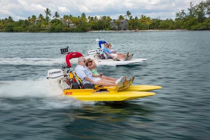
Operate your own 2 person catamaran through the winding and breathtaking waterways of the 10,000 Islands. Excitement, tranquility, thrill…
1–2 hours
Prices checked

Private and Luxury
As the top shelling company in all of Florida, we take pride in providing our guests with a truly unique and unforgettable experience. Our…
3 hours
Prices checked

Top Product
Our private excursion allows you to enjoy the beautiful waters of The 10,000 Islands without the crowds of tourists at a comparable price…
2–3 hours
Prices checked

Curated Catalog
Excited to catch some fish in Marco Island? Having logged many hours on these tides, Our Captains are prepared to put you on fish. All of…
2 hours
Prices checked

Nature and Wildlife Tours
Begin your private charter with a scenic cruise through Naples Bay and the waterways of Port Royal, home to some of Naples' most…
4 hours
Prices checked
Straight-line distances, so allow more on the road — the island is long and has one main parkway.

Marina
The county ramp at Marco's southern tip, rebuilt after Ian, and the shortest launch to Kice Island and Cape Romano.
0.5–4 hoursPark entry is free. Boat launching is charged per launch, with an annual county pass available.1.9 mi away

Historic site
Two acres of tropical hammock on a Calusa shell mound, walled with whelk shells by a 1950s homesteader. Free, shaded, and open to dogs.
20–45 minutesFree. No gate, no attendant, no fee.1 mi away

Neighbourhood
A few hundred people, one road in, stone crab traps stacked in the yards. The opposite of the resort side of the same island.
1.5–5 hoursFree to visit. Boat launch fees apply at the county ramp.3 mi away

Landmark
CR-92, the road off Marco Island that no rental-car direction mentions, and the fastest way east to the Everglades.
0.5–1 hoursFree. No tolls on San Marco Road or on the Stan Gober Memorial Bridge.0.8 mi away
Where this place fits into a day, and the pages that plan one.

Guide hub
An honest warning before the list: Marco Island has almost no ticketed attractions. There is no aquarium, no theme park, no historic district with a…

Guide hub
Stand at the south end of Marco, at Caxambas, and look east. There is no horizon line in the usual sense. There is a low green edge that repeats…

Things to do
Most fishing destinations sell you one fishery and dress it up three ways. Marco genuinely has three, and they begin within twenty minutes of the…

Things to do
A kayak gets you into the parts of this place a boat cannot reach and a boat's engine would ruin anyway. The mangrove tunnels behind Marco are a few…

Things to do
Marco is a planned island. Canals, cul-de-sacs, mid-rise towers along the Gulf, a golf club, a supermarket. On paper it should be the least…

Guide
The estuary starts ten minutes from the dock and the good bottom fishing is thirty miles out. Understand that ratio and you will book the right boat.
8 min readWyatt Coombs

Guide
The dolphins in these passes are residents, not visitors, and more than three hundred of them are catalogued by dorsal fin. Some of the boats you can book are doing the cataloguing.
8 min readImani Brooks

Guide
Marco is the largest of the Ten Thousand Islands and the northern door into them. Behind the condominium towers is a mangrove labyrinth where a wrong turn on a falling tide costs you six hours.
10 min readWyatt Coombs
Not really. There is no public park, beach or promenade on Barfield Bay — the shoreline is private seawall, private dock and mangrove, and the residential streets off Barfield Drive end at houses. San Marco Road gives glimpses across the northern edge and the Stan Gober Memorial Bridge gives the widest view anyone gets from land. To actually be on the water, launch a kayak at Caxambas Park or book a guide.
Confusingly, no. The Key Marco Cat came from the Court of the Pile Dwellers on Marco Island itself, excavated in 1896 by Frank Hamilton Cushing for the Smithsonian's Pepper-Hearst Expedition. The gated community called Key Marco across Barfield Bay was named Horr's Island until a developer changed it in 1988. Horr's Island has its own, much older archaeology — Archaic mounds and a shell ring — but it is a separate site and it is not open to visitors.
Yes, with the tide worked out first. The bay is shallow, sheltered from Gulf swell and full of wildlife, which makes it one of the better paddles on Marco Island. But large areas dry to oyster bar and shoe-deep mud at low water, and dragging a boat across oyster is a genuinely bad afternoon. Launch from Caxambas Park on the last of the flood, turn on the ebb, and go in the morning before the sea breeze builds.
Snook along the mangrove roots, redfish on and around the oyster bars, spotted seatrout over the turtle grass, and small tarpon in the deeper cuts in the warmer months. It is classic Southwest Florida backcountry water and it fishes well, but the bars are hard for a visitor to read, which is why most people do better with a guide out of Caxambas or Goodland. A Florida saltwater licence is required, including from a kayak.