On this page
- What the backcountry is actually like
- Charter, rental or guided tour
- A guided charter
- A bareboat rental
- A scheduled tour
- Where you actually go
- Navigation, honestly
- The licence question
- Launching your own boat
- Why local knowledge is not optional
- The dome house: what is left of it
- What a day out there costs
- Common questions
There are not ten thousand of them. There are several hundred mangrove keys, most of them unnamed, scattered across roughly thirty miles of shallow water between Marco Island and Everglades City, and the count depends on the tide when you do the counting. The Ten Thousand Islands National Wildlife Refuge protects about 35,000 acres of it, established in 1996, and Everglades National Park's Gulf Coast district carries on where the refuge stops.
Marco is the largest island in the chain and the only one with a supermarket. That is the whole proposition of this place: you sleep in a condominium tower with air conditioning and a lift, and forty minutes later you are in water where the only marks are the ones nature put there.
What the backcountry is actually like
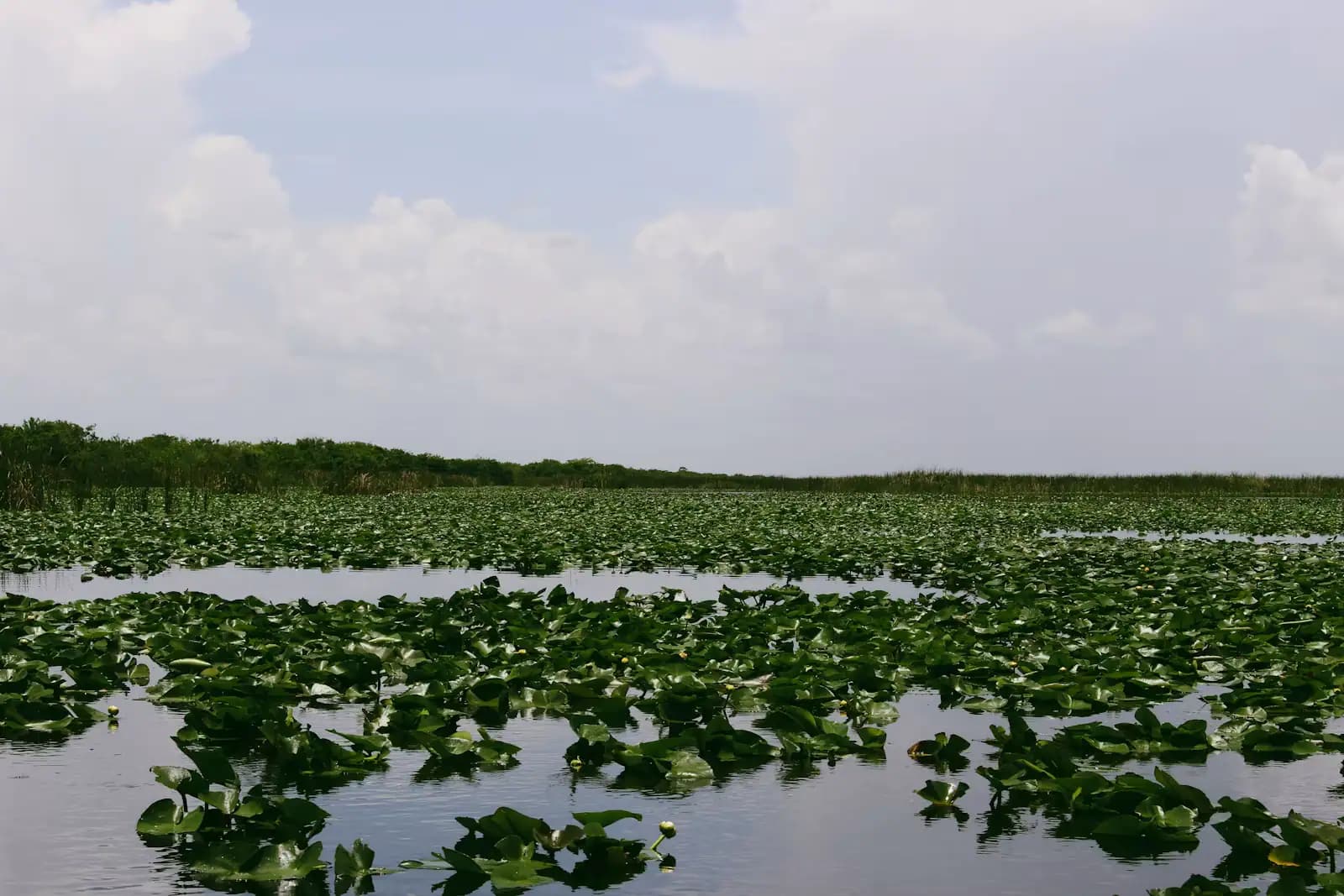
It is not scenic in the way a reef or a mountain is scenic. It is low, green, repetitive and enormous, and it gets under people's skin slowly.
The keys are built on oyster bars. Mangroves colonise the bar, trap sediment, and the island grows outward; the bar itself is still there under the shallows, rock-hard, invisible at half tide and perfectly capable of tearing a lower unit off a motor. Between the keys run tidal creeks and open bays that go from six feet to eight inches inside a boat length.
The tide is the governing fact. On a good spring range the water here moves a long way, and a creek you idled into at high water becomes a mud trench two hours later. Running aground on a falling tide is not a drama; it is simply six hours of sitting in the sun, and that is why experienced captains here plan the day around the tide table rather than around lunch.
There is no fuel out there. There is no shade. Phone coverage is patchy in the southern creeks and absent in places. In summer the bugs at dawn and dusk are a serious matter rather than a nuisance, and the thunderstorms build in the afternoon with very little warning.
That is the honest picture. It is also, on a clear February morning with the water like glass and rosette spoonbills lifting off a bar, one of the great boat rides in North America.
Charter, rental or guided tour
Three ways to get out there, and they are not interchangeable.
| Guided charter | Bareboat rental | Scheduled tour | |
|---|---|---|---|
| Who drives | A licensed captain who knows the channels | You | A captain, with 20–40 other people |
| Typical length | Half day or full day | Half day, full day, multi-day | 90 minutes to 3 hours |
| Cost shape | Highest per boat, cheapest per head for 4–6 people | Lowest headline price, plus fuel, plus deposit | Lowest per person |
| Gets you | Anywhere the tide allows, with commentary | Wherever you can find and get back from | A fixed, safe route |
| Needs a boater card | No | Yes, if born on or after 1 Jan 1988 | No |
| Right for | Fishing, shelling the outer keys, a serious day | Experienced boaters with local charts | First visits, families, short attention spans |
A guided charter
The default recommendation, and not because it is the expensive one. A captain on this water is carrying twenty years of knowledge about which creeks hold water at which stage of the tide, where the spoonbills are feeding this month, which beach has shells this week and which one got scoured out in the last blow. You are buying that, not a boat ride.
A bareboat rental
A perfectly sensible option if you are an experienced shallow-water boater who will spend an evening with the charts first. It is a poor option if your boating experience is a pontoon on a lake. Rental companies will keep you inside a defined area and tell you so plainly, and the good ones will refuse you if the answers to their questions are wrong.
A scheduled tour
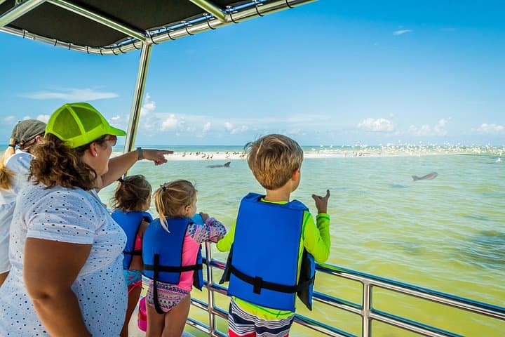
A dolphin survey trip, a shelling cruise, a sightseeing run out to the Cape Romano shoals. This is the right first move for most visitors. It costs a fraction of a charter, it needs no licence and no planning, and it tells you whether you want the full day.
Where you actually go
| Destination | Roughly, from Marco | What it is |
|---|---|---|
| Keewaydin Island | 20–30 minutes north | Eight miles of undeveloped barrier beach, boat access only, sandbar at the south end. Busy at weekends |
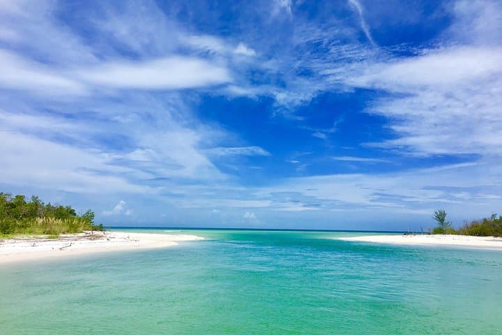
| Kice Island and Morgan Beach | 15–25 minutes south | Uninhabited keys off Caxambas Pass. The shelling that Marco's own beaches cannot match |
| Cape Romano | 25–40 minutes south | Shoals, shallow bars and the remains of the dome house. Read the section below before you promise anyone a photograph |
| Ten Thousand Islands refuge | 30 minutes-plus southeast | Mangrove keys, creeks and bays. Wildlife, fishing, and almost no other boats midweek |
| Goodland | 15 minutes by water | The island's back door: a working fishing village with dockage and a bar |
| Everglades City and Chokoloskee | A long run, or 45 minutes by road | The park's Gulf Coast gateway, better reached by car unless you know the route |
Run times assume decent conditions and no-wake zones observed. They are not promises. Wind against tide in the passes turns a comfortable crossing into a wet one.
Navigation, honestly
Buy or download current charts and then do not trust them absolutely. The channels through the islands are largely unmarked. Where markers exist they are sparse, and storms rearrange the bars underneath them; Ian in 2022 and Irma in 2017 both reshaped this coast, and the sand has kept moving since.
Practical rules that local captains follow without discussing them:
- Plan the run around the tide, not the clock. Know when high water is and which way it is going before you leave the dock.
- Read the water colour. Brown and green mean different depths over the same chart datum, and on this coast you learn to trust your eyes over the plotter.
- Give every oyster bar a wide berth, especially the ones you cannot see.
- Watch the manatee zones. Slow speed and idle zones are posted, enforced, and entirely reasonable given how many manatees use these canals and creeks in winter.
- Carry more water than you think, a paper chart, and a way to signal that does not depend on a phone.
- Tell someone your plan. There are stretches out there where nobody will come past for hours.
The licence question
Anyone born on or after 1 January 1988 must hold a Florida Boating Safety Education ID Card to operate a vessel of 10 horsepower or more. Rental operators will ask for it, and an online temporary certificate is available for visitors who do not have the full card. This catches out a lot of younger visitors who assumed that an ordinary driving licence covers a rental skiff.
Launching your own boat
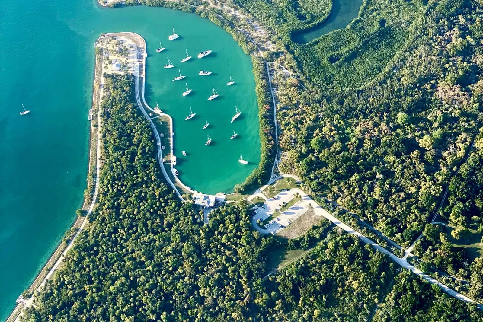
Caxambas Park at the island's south end is the ramp with the shortest run to the southern islands, and the one that took the worst of Hurricane Ian — it was rebuilt and reopened in 2025, with the fuel service replaced separately. There is a second county ramp at the Collier Boulevard bridge, and Goodland gives the fastest access to the eastern backcountry. Ramps fill early in season and on weekends; if you are towing, be there at first light or plan to queue.
Why local knowledge is not optional
Every season a rental boat goes onto a bar in the islands, and almost every time it is the same story: someone took a creek that looked open on the screen, on a tide they had not checked, in a boat they had known for two hours.
The Ten Thousand Islands are not dangerous in the way open ocean is dangerous. They are unforgiving in a quieter way. They are repetitive enough to get lost in, shallow enough to trap you, and far enough from help that a trivial mistake turns into a long, hot afternoon. Buy the local knowledge for the first day. After that, you will know what you are looking at.
The dome house: what is left of it
The Cape Romano dome house is the most photographed thing on this coast and the most misrepresented. Six dome-shaped modules on stilts, built in 1982 as a private house on an islet off Cape Romano, gradually abandoned as the shoreline retreated beneath them.
Hurricane Irma took two of the domes in 2017. Hurricane Ian finished the job on 28 September 2022, and what stands above water now is essentially pilings and rubble rather than recognisable domes.
Operators still run there, and it is still a worthwhile stop for the shoals, the birds and the shelling nearby. But if somebody shows you a photograph of white domes standing clear of the water, that photograph is old. Ask what the site actually looks like this month before you book a trip on the strength of it.
What a day out there costs
Bands rather than figures, because charter pricing on this coast moves with fuel and season, and because Marco sits at the expensive end of the Gulf market.
A scheduled group trip — dolphin survey, shelling cruise, sightseeing run — generally starts around the price of a decent dinner per person and climbs from there with length. Marco's bookable inventory has a median somewhere near a hundred dollars a head.
A half-day guided charter for a small group is typically several hundred dollars for the boat rather than per person, which makes it competitive once there are four of you. A full day is meaningfully more. Roughly one in six things sold on this island is priced above $250, which tells you something about the market.
A bareboat rental has the lowest sticker price and the most additions: fuel on return, a security deposit, and sometimes a mandatory orientation. Ask what the fuel policy is before you sign.
Confirm every one of these with the operator. Nothing on this page is a quote.
Last updated
Opening hours, ordinances and prices move with the season. We re-check this guide rather than rewrite it, and the date above is the last time someone did. How we research and correct.