Skip to content
Menu

We earn a commission if you book through this link. You pay the same price.

Search

Wildlife

Ten Thousand Islands National Wildlife Refuge

Last updated

Thirty-five thousand acres of mangrove wilderness with one land trail, one observation tower and eighteen parking spaces.

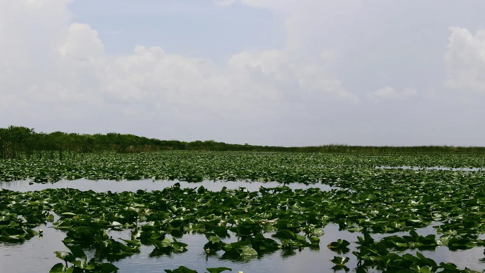
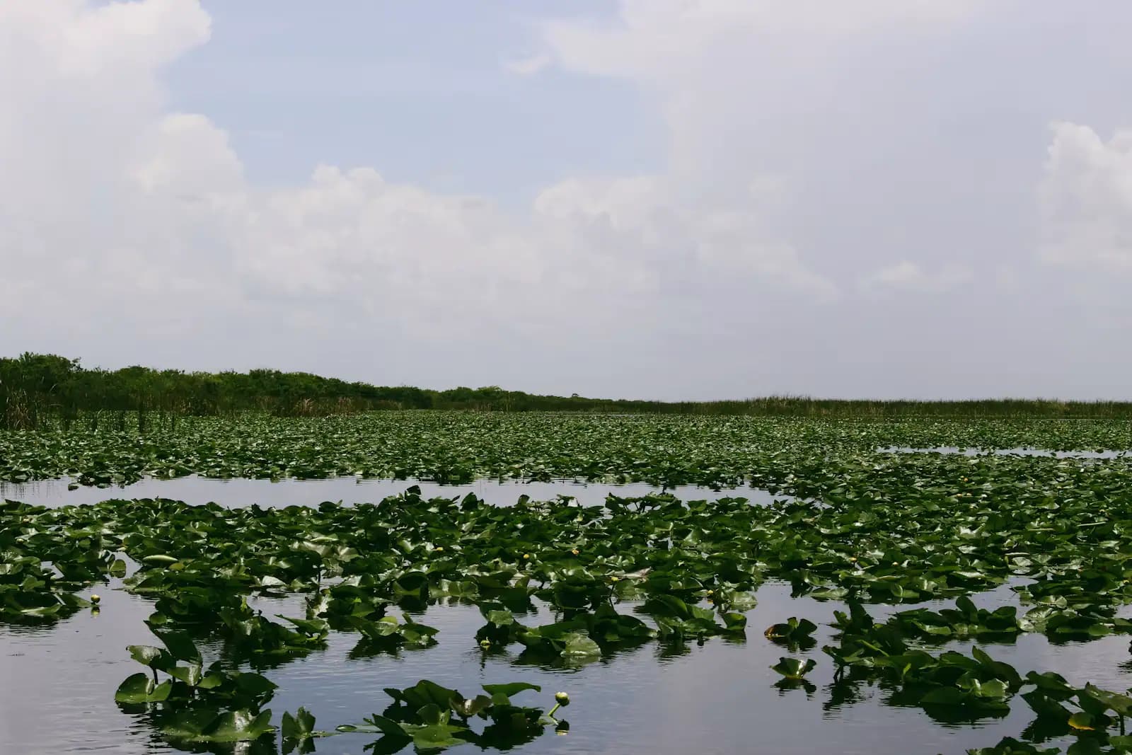
East of Marco Island the map stops being about roads. Ten Thousand Islands National Wildlife Refuge covers around 35,000 acres of mangrove forest, brackish marsh, tidal creek and low island between the island and Everglades City, established in 1996 and administered from the Florida Panther refuge complex. It is a water landscape. There is no visitor centre, no café, no ranger at a desk, and the amount of it you can reach on foot is a rounding error.

The exception is the Marsh Trail, a gravel and paved track off US-41 with an eighteen-space car park and a two-storey observation tower at the end of it. The tower is the single best free view in this corner of Florida: mounted scopes, benches, an accessible first level, and a horizon of marsh and mangrove that runs to the Gulf with nothing built on it.

The rest of the refuge belongs to boats and paddlers. Main water access is from Goodland at the eastern end of Marco Island and from Port of the Islands further east on US-41, and from either you are quickly into channels that go on for as far as you have fuel and daylight.

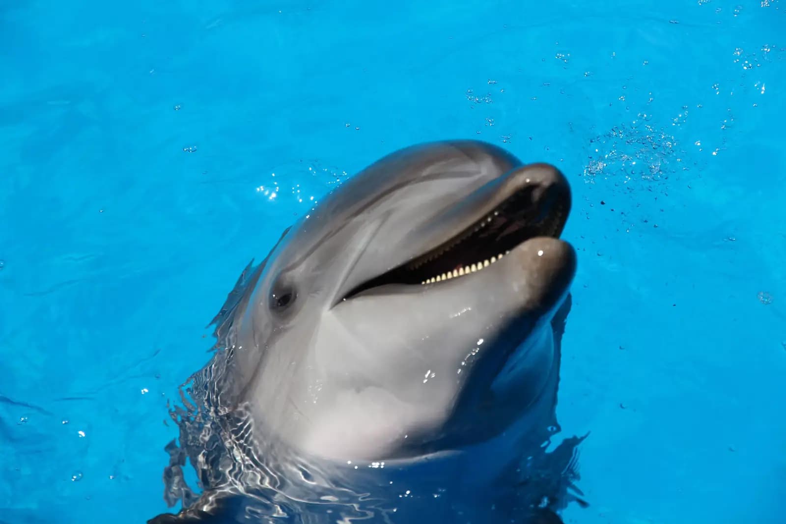
The wildlife is the reason. Something in the order of 189 bird species and 200 fish species have been recorded here. Bottlenose dolphins and West Indian manatees use the rivers and bays. Bald eagles nest. Loggerhead turtles nest on the outer beaches, where raccoons are a bigger threat to them than people are.

Two things to know before you plan: the refuge does not run guided tours or rent paddle craft, and the headquarters office has been closed, so arrive self-sufficient and with your route already worked out.

Getting there and parking

For the Marsh Trail, leave Marco Island on San Marco Road, join US-41 eastbound and continue past the entrance to Collier-Seminole State Park. The trailhead is roughly three miles further east, near mile marker 31, on the south side of the highway. Allow thirty to thirty-five minutes from the Jolley Bridge.

The car park holds eighteen vehicles and no more. On a cool dry-season morning it fills, and there is no safe overflow on a 55mph highway. Arrive early or come mid-afternoon.

For the water, the two working access points are Goodland Boating Park at the eastern end of Marco Island and Port of the Islands further east on US-41. Both are ramps rather than visitor centres.

There is no public transport, no shuttle and no refuge-run tour. Everything here assumes a car or a boat.

The Marsh Trail and the tower

The trailhead is on US-41 roughly three miles east of Collier-Seminole State Park, near mile marker 31, on the south side of the road. It is signed but easy to overshoot at highway speed; slow down early.

The first quarter mile is paved and the rest is a wide gravel track, running out along a dyke between managed brackish marsh ponds. The full there-and-back is a little over two miles. It is exposed for all of it: no shade, no water, no bench until you reach the tower.

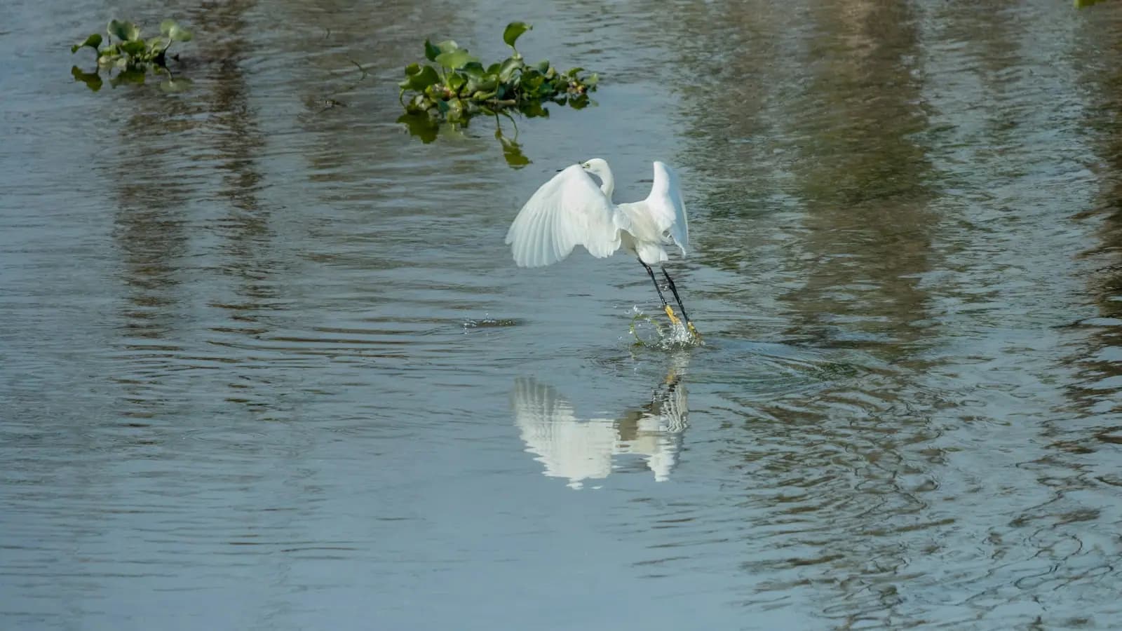
The tower itself is two storeys with wildlife viewing scopes and seating, and the lower level is accessible. Come at either end of the day and the ponds fill with wading birds: herons, egrets, wood storks, ibis, occasional roseate spoonbills. Ospreys hunt overhead. Alligators use the freshwater end of the system, which surprises visitors who assume this is all saltwater.

Bring binoculars and a hat, and do the walk before nine or after four in any month with an R in it or not. This is the hottest, most exposed easy walk near Marco Island, and in July it is genuinely punishing at midday.

Cycling the trail is permitted and is the fastest way to cover it if you are short on time.

Paddling and boating the refuge

  • Launch from Goodland or Port of the Islands. Goodland Boating Park at the eastern end of Marco is the closest ramp to the refuge's western edge; Port of the Islands is the eastern gateway.
  • There are marked canoe and kayak routes, but marked does not mean easy. Mangrove channels look identical, currents run hard on the tide, and GPS with a downloaded chart is not optional.
  • Tide first, distance second. Paddle out on the flood and back on the ebb, or accept a long grind. Creeks here drain to mud.
  • No rentals, no guides from the refuge itself. Outfitters in Goodland, Everglades City and on Marco handle both. Book ahead in season.
  • Camping on the refuge islands is restricted from May to September, and rules differ from those in the neighbouring national park. Check the current refuge regulations rather than assuming Everglades National Park rules apply.
  • Drones are prohibited. Pets must be on a lead no longer than six feet.
  • Fishing and hunting follow Florida state regulations. Snook, redfish and tarpon are the headline species inshore.
  • Carry everything. No water, no fuel, no food and no reliable phone signal once you are off the highway.

What the refuge is actually for

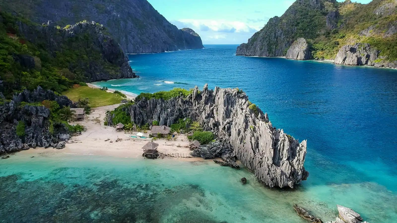
The name describes a genuine archipelago: hundreds of mangrove islands, many of them built on ancient shell mounds left by the Calusa, scattered across the shallow water between Marco Island and Cape Sable. Marco itself is the largest of them and the only one with a bridge.

The refuge protects the western section of that system, and its job is habitat rather than recreation. Red mangroves on the outer edge, black and white mangroves behind, salt marsh and brackish impoundments inland. The whole system is a nursery: juvenile snook, tarpon, redfish and snapper grow up in mangrove roots before moving to the passes, which is the direct reason the fishing off Marco is as good as it is.

Refuge management is mostly a fight against things that do not belong. Brazilian pepper and melaleuca crowd out native vegetation and are under continuous control. Raccoons, whose numbers are artificially high because of human food sources, take a heavy toll on loggerhead nests on the outer beaches. Burmese pythons are established across this part of Collier County.

For a visitor, the value is perspective. Marco Island is a planned resort community of condominium towers and dredged canals, and it sits at the edge of one of the largest mangrove wildernesses left in North America. Standing on the tower with nothing built in any direction is the fastest way to understand that.

Tours that visit Ten Thousand Islands NWR

Operators run these trips past Ten Thousand Islands NWR, or stop there as part of a longer route. We list what the booking data supports — not everything that mentions the name.

Some links below go to Viator, our booking partner. We earn a commission on bookings made through them — at no extra cost to you, and with no influence on what we recommend.

Shared departurespriced per seat, best value for one or two

Private and small-group optionsoften cheaper per head for a family or a group of six

Near Ten Thousand Islands NWR

Straight-line distances, so allow more on the road — the island is long and has one main parkway.

  • A narrow dark-water channel running under an arching canopy of mangrove branches

    Park

    Collier-Seminole State Park

    6,430 acres of mangrove and royal palm hammock twenty minutes east of Marco, with the last Bay City walking dredge parked by the gate.

    1.5–7 hoursA small per-vehicle entry fee in the usual Florida state park band, paid at the ranger station or honour box.4.7 mi away

  • Low wooden storefronts with corrugated roofs along a quiet two-lane road in a small coastal settlement

    Neighbourhood

    Goodland

    Free

    A few hundred people, one road in, stone crab traps stacked in the yards. The opposite of the resort side of the same island.

    1.5–5 hoursFree to visit. Boat launch fees apply at the county ramp.6.6 mi away

  • A small low-rise town on flat ground beside marsh and open water under a wide sky

    Neighbourhood

    Everglades City

    Free

    Barron Collier's planned company town on the edge of the Everglades, still the land gateway to the Ten Thousand Islands.

    4–8 hoursFree to visit the town. Boat tours, airboat rides and guides are charged separately.10.8 mi away

  • Heavy cloud building over open water in the late afternoon

    Landmark

    Cape Romano Dome House

    Free

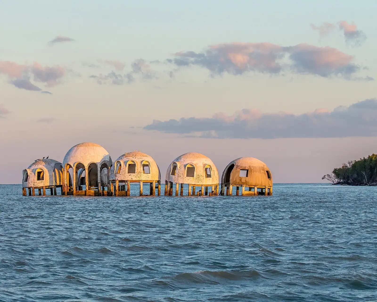
    The domes off Cape Romano fell in Hurricane Ian. What is left is pilings and rubble in open water, and still worth the run south.

    0.5–1 hoursFree to look at from the water. The cost is the boat or the charter seat.10.7 mi away

Ten Thousand Islands NWR: common questions

Is there a visitor center at Ten Thousand Islands National Wildlife Refuge?

No. The refuge has no visitor centre, no staffed desk and no shop, and its headquarters office has been closed. The only developed public facility is the Marsh Trail off US-41, which has an eighteen-space car park, a gravel track and a two-storey observation tower. Refuge staff do not run guided tours or rent kayaks. Arrive with your own water, your own plan and a downloaded map.

How long is the Marsh Trail at Ten Thousand Islands refuge?

A little over two miles there and back, with the first quarter mile paved and the rest compacted gravel running along a dyke between managed marsh ponds. The observation tower sits at the far end. There is no shade at any point and no water, so walk it early or late rather than at midday, and take a hat. Bikes are permitted, which halves the time.

Can you see alligators at Ten Thousand Islands refuge?

Yes, at the freshwater and brackish end of the impoundments along the Marsh Trail, which catches visitors out because they assume this coast is entirely saltwater. Wading birds, ospreys and wood storks are the more reliable sightings, and in the tidal creeks further out you are looking at dolphins and manatees instead. Keep well back from any alligator, keep pets leashed and never feed one.

How do you get into the Ten Thousand Islands by boat?

The two working access points are Goodland Boating Park at the eastern end of Marco Island and Port of the Islands, further east on US-41. Both are ramps with trailer parking rather than visitor facilities. From either you are into mangrove channels within minutes. Carry paper and electronic charts, watch the tide, and take a guide on your first trip: the channels look identical and the creeks drain to mud.