Yes, you need a car on Marco Island. No, you do not need a boat — but a boat is the thing that changes what the island is, and that is a different question from whether you can manage without one. Take those in order, because they are the only two transport decisions that matter here.
The car first. Marco is about six square miles of buildable land, but it is laid out as a 1960s masterplan of curving residential streets and cul-de-sacs, which means distances that look trivial on a map take fifteen minutes on the ground. There is no walkable downtown: the shops, restaurants and cinema are spread across a handful of plazas on Collier Boulevard, San Marco Road and the waterfront at Smokehouse Bay, none of them within comfortable walking distance of each other in August. Public transport exists but is not a tourist network. Rideshare works, but thins out late and is not a plan for getting to a seven o'clock boat.
Getting on and off is simple and has exactly two options. The Judge S.S. Jolley Bridge carries Collier Boulevard, State Road 951, over the Marco River from the north; it opened in 1969 and it is the way almost everyone arrives. San Marco Road, County Road 92, runs east across the island, past the turning for Goodland, and crosses to the mainland on the Stan Gober Memorial Bridge. Collier Boulevard runs about seven miles north from the bridge to the Tamiami Trail. Naples is roughly twenty miles up that road, Southwest Florida International at Fort Myers is just under an hour by I-75, and Marco Island Executive sits on the island itself for private and limited scheduled traffic.
Parking is the part visitors get wrong. Every public beach access charges, the rate is around $10 for a day at both Tigertail and the South Marco access, street and swale parking near the south beach is prohibited and enforced, and Residents' Beach in the middle of Crescent Beach is not public at all. Sorting your beach access on arrival day rather than on the first hot morning is the single most useful piece of planning on this page.
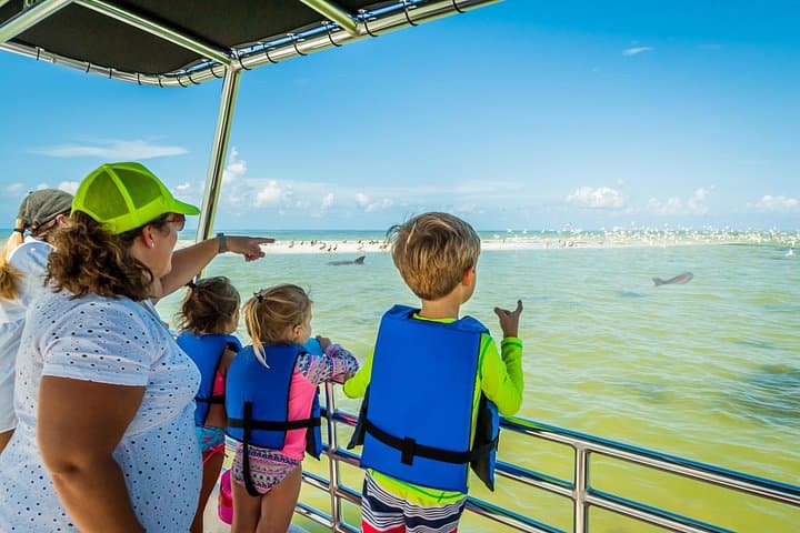
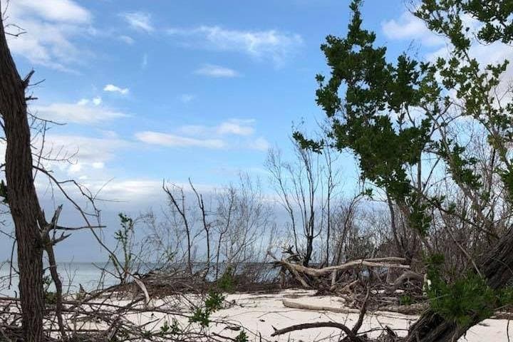
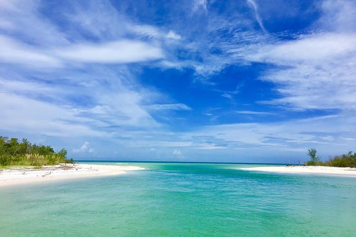
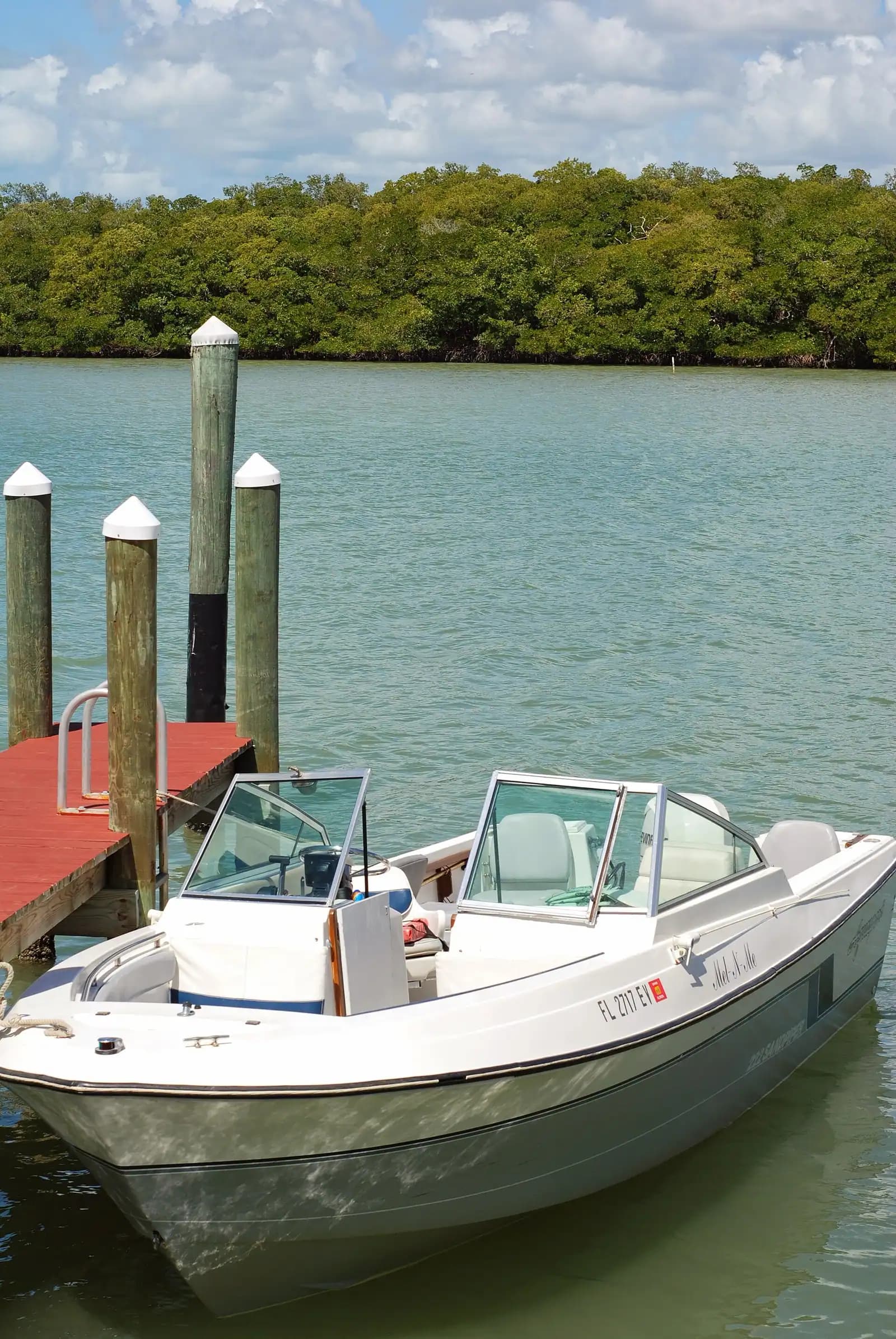
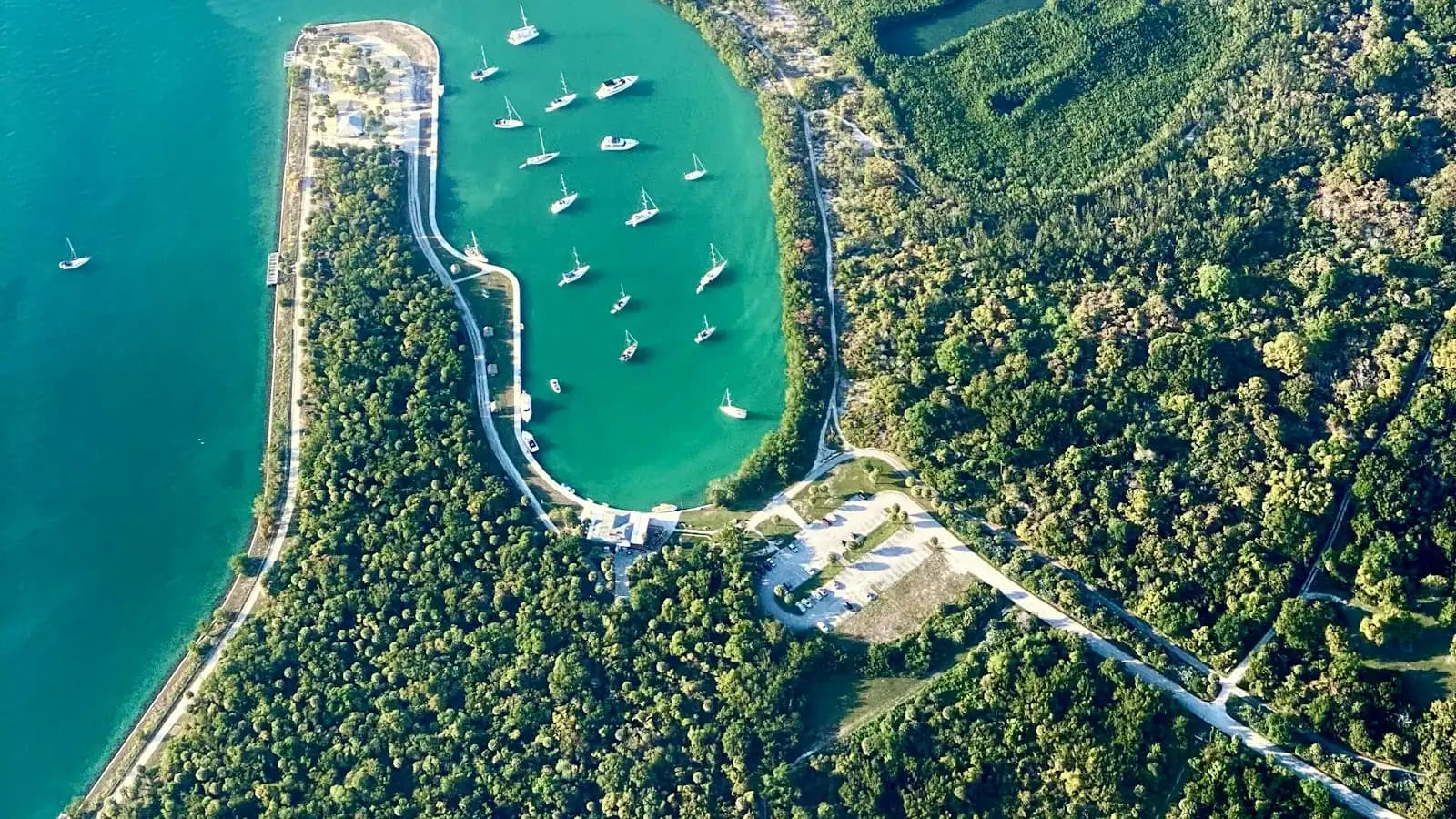
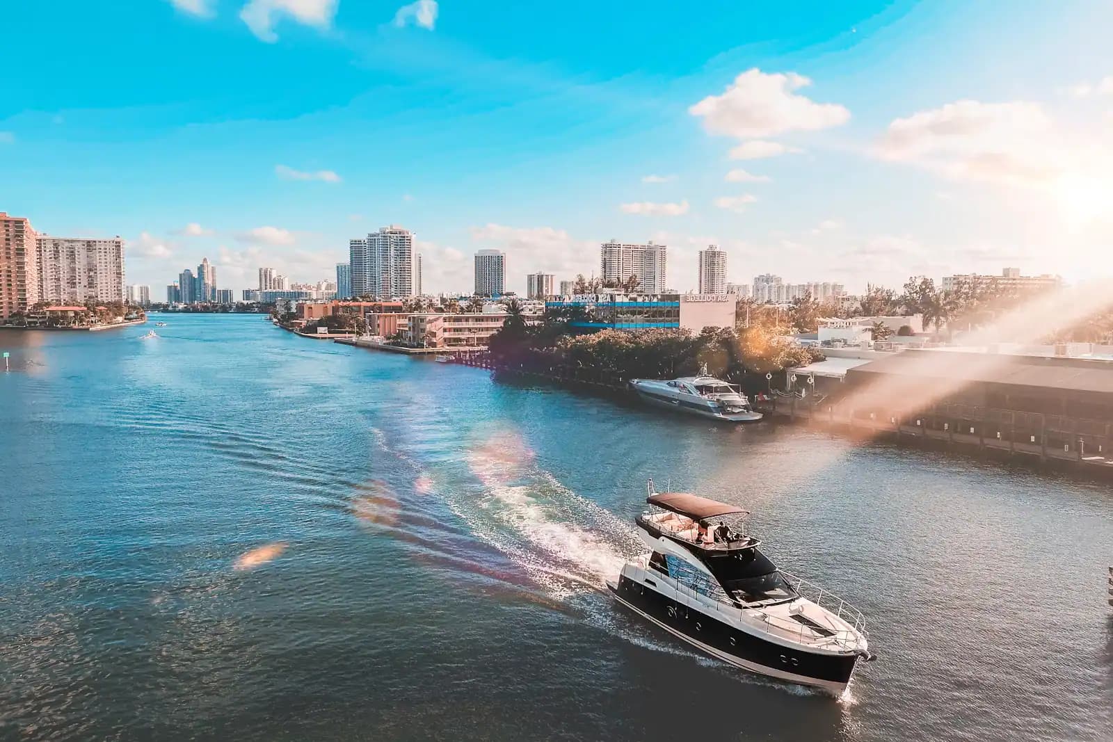
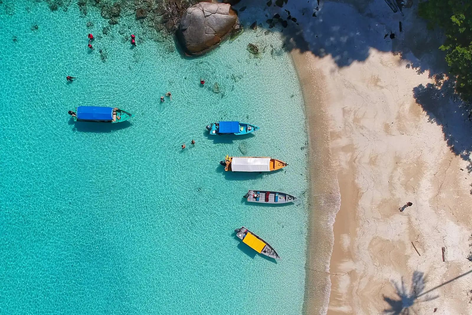
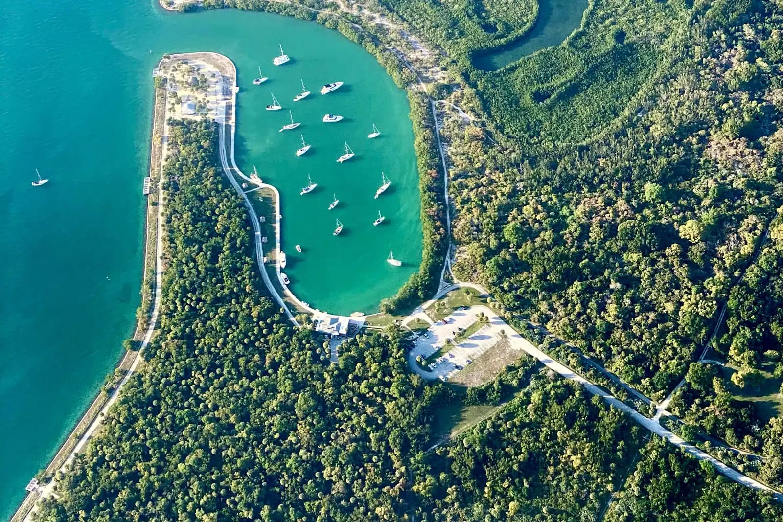
Then the boat. Marco was dredged with around a hundred miles of navigable canal precisely so that residents could keep a vessel behind the house, and the consequence for visitors is that an enormous amount of the destination sits on the wrong side of the water: Keewaydin, Kice Island, Cape Romano, the backcountry passes, the empty beaches, most of the good fishing. You can see all of it from somebody else's boat for the price of a tour. You can only see it on your own schedule with your own hull. The second half of this page is about what that actually involves, including the parts the rental brochure leaves out.