Private and Luxury
Marco Island Wildlife Sightseeing and Shelling Tour (opens in a new tab)
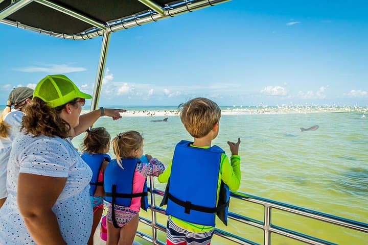
Our Marco Island Sightseeing and Shelling Tour departs from the Goodland Boat Park, in Goodland, FL. On our two hour ecotour you will…
2 hours
Prices checked
Landmark
Last updated
Marco Island's front door: a fixed 55-foot span over the Marco River, with shore fishing at its foot and the busy 951 ramp alongside.
Photo: UnsplashUnsplash License
Everyone who drives to Marco Island crosses the Jolley Bridge, and almost nobody looks at it. It deserves a minute. The Judge S.S. Jolley Bridge carries Collier Boulevard over the Marco River in one fixed arc roughly 55 feet above mean high water, and that number is the point: no drawbridge, no openings, no line of cars waiting on a sailboat. Marco functions as a resort island partly because somebody made that decision in the 1960s.
It was not the island's first road link. A wooden swing bridge at Goodland reached the mainland from 1938, which put Marco's front door at the quiet southeast corner. The Jolley opened in 1969 and moved that door to the north end. The mid-rise towers, the resorts and the shopping followed it there, and the southeast corner stayed small. In 2011 a second parallel span went up beside the original, doubling the lanes across.
The first bridge carried fishing piers slung underneath it. Hurricane Wilma wrecked them in 2005 and they were taken away rather than rebuilt, which people here still grumble about. Anglers fish it anyway, from the rock and broken shell at the foot of the span where the tide funnels through.
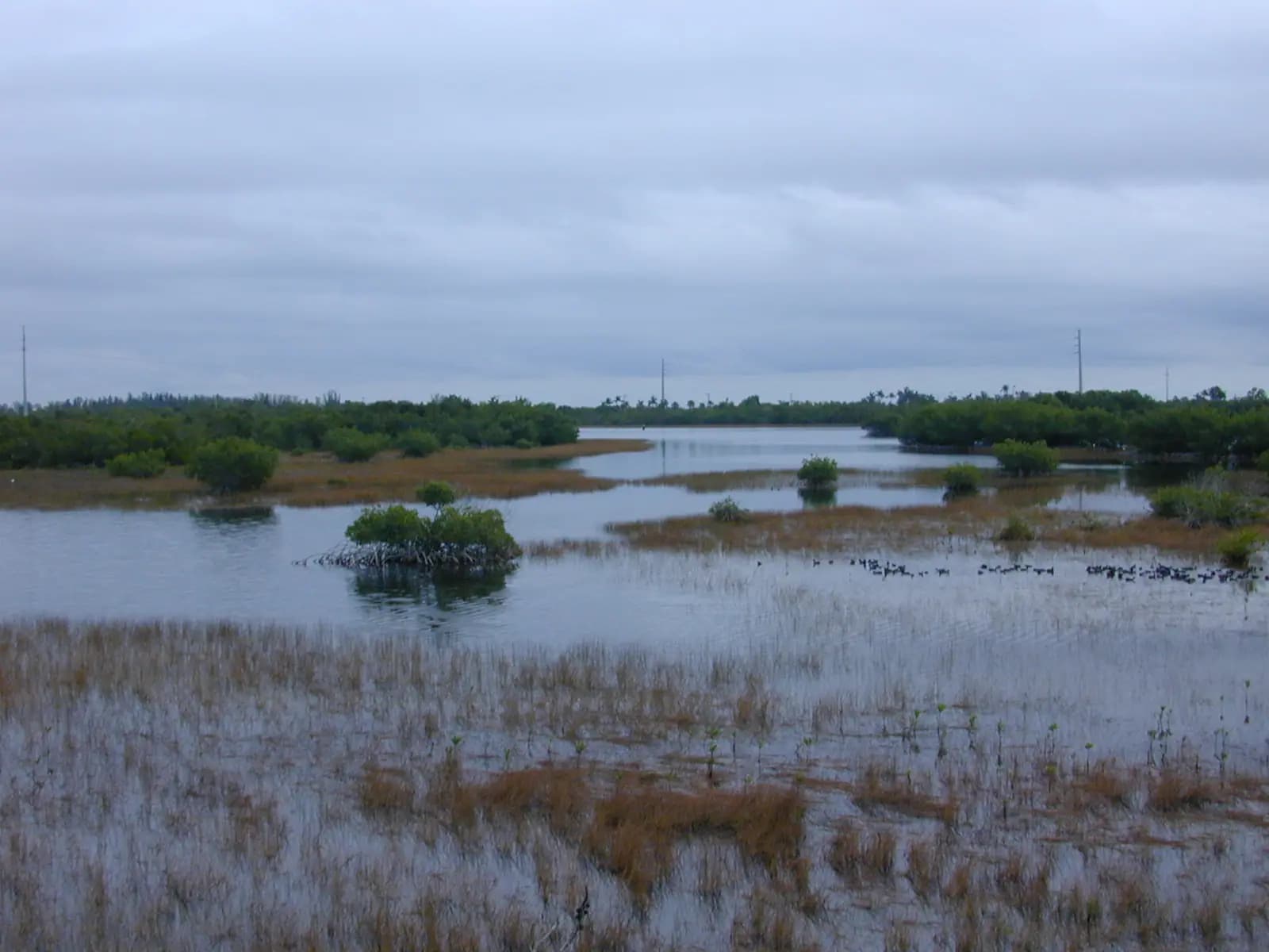
Look southwest from the approach and you are looking at the ABC Islands, a cluster of mangrove keys in the Marco River carrying one of the busiest wading-bird rookeries on this stretch of coast. In spring the trees look decorated. Bring binoculars, because the birds are not close and they are not coming closer.
The practical reason to stop is the Collier Boulevard Boating Park, the ramp everybody calls the 951, immediately north of the bridge on the east side of the road. Two lanes, a courtesy dock and, since a county expansion, a realistic chance of a trailer space even in February.
There is also a sense-of-place argument. Driving south you leave the strip malls of East Naples at the toll-free top of the span and land on an island where the tallest thing is a condominium and the water starts immediately.
From Naples, take Collier Boulevard (SR-951) south from US-41 for about twelve miles. The bridge is unmistakable — it is the only high span on the road.
From Marco Island the bridge is at the north end of Collier Boulevard, five minutes from Olde Marco and ten from the Crescent Beach hotels.
To reach the boat ramp, turn east into Collier Boulevard Boating Park on the mainland side, immediately north of the bridge. Shore anglers park there as well; there is no legal parking on the bridge approach itself, and the shoulder is not a lay-by.
Coming from the east on US-41, San Marco Road (CR-92) into the island's southeast corner is usually the quicker route and avoids the bridge entirely.
The piers are gone, so fishing the Jolley now means fishing from the bank. Access is on foot from either foot of the span, and the usable ground is a strip of rock and broken shell rather than anything you would call a beach.
What moves through: snook holding in the shadow line after dark, mangrove snapper tight to the pilings, jacks and ladyfish that hit anything that moves, sheepshead on the structure through winter, and sharks — bonnetheads, blacktips, the occasional bull — which is what the late-night crowd is here for. Goliath grouper sit under the bridge and are protected. If you hook one you will lose, and losing is the correct outcome.
Snook have a closed season on Florida's Gulf coast and a narrow slot when open, and the dates move. Check the FWC's current regulations rather than trusting whoever is fishing next to you.
Two practical things. The current runs hard for a couple of hours either side of the tide change and will drag a light rig sideways, so bring more lead than feels necessary. And there is no shade, no drinking water and no tackle shop within walking distance of either end.
Collier Boulevard Boating Park is signed as such and called the 951 ramp by everyone who uses it. It sits on the east side of Collier Boulevard immediately north of the bridge, on the mainland side, and it is the main public launch for anyone trailering a boat to Marco. From the dock it is a straight run down the Marco River and out through Capri Pass.
Facilities are two launch lanes, a courtesy dock, paved trailer parking and portable toilets. There is no fuel and no ship's store — buy what you need in East Naples on the way down.
Expect a launch fee and a separate parking charge, each in the region of ten dollars, with a valid Collier County beach parking permit covering the parking side. Those figures are set by the county and are reviewed, so read the kiosk rather than this page.
A county project expanded trailer parking from 19 spaces to 88, which changed the character of the place entirely. It can still fill on a weekend between January and April. Arrive early; if the lot has gone, Caxambas Park at the island's south end and the Goodland ramps are the fallbacks.
Vertical clearance is commonly published as about 55 feet above mean high water. For most visiting boats that is academic. For a sailboat with a tall rig it is the entire trip, because the Stan Gober Memorial Bridge at the other end of the island is of a similar order — clear one and you can usually clear the other, fail and Marco's interior waterways are closed to you.
Underneath, the Marco River moves serious water. Tidal range on this coast is modest compared with the Atlantic side, a couple of feet on an ordinary day, but the river narrows here and the flow through the bridge is faster than the range suggests. Paddlers should not treat the crossing casually. A kayaker launching at the 951 is better off heading east into the backwater than fighting the channel.
Traffic on the water is heavy and mixed — centre consoles running for Capri Pass, tour boats, rental jet skis, the occasional barge. Idle-speed and manatee protection zones apply in parts of the river and they are enforced by officers who are on the water most days.
There is a walkway across the bridge, and the approach to it is the only climb anywhere near Marco Island. The island is dredged fill and flat as a table. The bridge is the one place a cyclist gets out of the saddle, and local riders use it the way riders elsewhere use a hill.
From the top you get the best free view in the area: the Marco River running out to Capri Pass, the ABC Islands and their birds, the mangrove edge of Rookery Bay stretching north, and the condominium line along Crescent Beach in the middle distance.
It is not a gentle stroll. The span is long, fully exposed, hot from mid-morning, and separated from four lanes of traffic moving at highway speed. Go early, take water, and expect no shade at either end.
If you are photographing the bridge rather than the view from it, the better frames are from the water or from the shoreline at the boating park. The picture people come back with is the span in silhouette from a boat on the river at sunset.
Operators run these trips past Jolley Bridge, or stop there as part of a longer route. We list what the booking data supports — not everything that mentions the name.
Some links below go to Viator, our booking partner. We earn a commission on bookings made through them — at no extra cost to you, and with no influence on what we recommend.

Private and Luxury
Our Marco Island Sightseeing and Shelling Tour departs from the Goodland Boat Park, in Goodland, FL. On our two hour ecotour you will…
2 hours
Prices checked

Low Last Minute Supplier Cancellation Rate
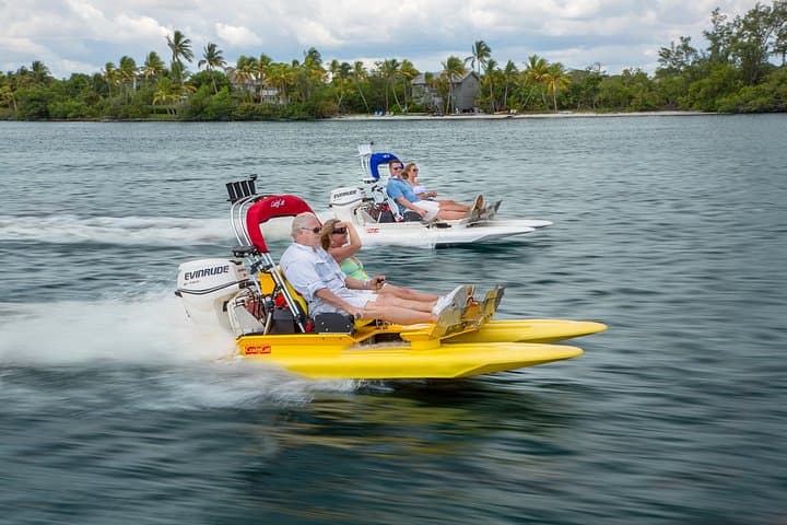
Operate your own 2 person catamaran through the winding and breathtaking waterways of the 10,000 Islands. Excitement, tranquility, thrill…
1–2 hours
Prices checked

Private and Luxury
As the top shelling company in all of Florida, we take pride in providing our guests with a truly unique and unforgettable experience. Our…
3 hours
Prices checked

Top Product
Our private excursion allows you to enjoy the beautiful waters of The 10,000 Islands without the crowds of tourists at a comparable price…
2–3 hours
Prices checked

Curated Catalog
Excited to catch some fish in Marco Island? Having logged many hours on these tides, Our Captains are prepared to put you on fish. All of…
2 hours
Prices checked

Nature and Wildlife Tours
Begin your private charter with a scenic cruise through Naples Bay and the waterways of Port Royal, home to some of Naples' most…
4 hours
Prices checked
Straight-line distances, so allow more on the road — the island is long and has one main parkway.

Neighbourhood
Four dredged mangrove islands north of the Jolley Bridge, with working marinas, three waterfront restaurants and no beach at all.
1.5–4 hoursFree to visit. You pay for food, boat hire or a charter, and nothing else.1.2 mi away

Marina
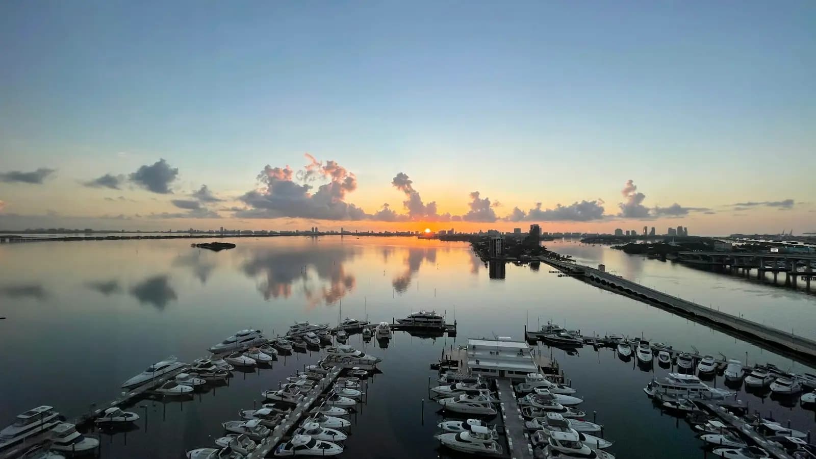
122 owner-held slips on the Big Marco River just inside the Jolley Bridge, and one of the few places a visiting boat can stay on Marco.
0.5–2 hoursDockage is charged by the night or by the season. Not a public attraction — there is no visitor access to the docks.0.6 mi away

Neighbourhood
The north-end village that was here before the canals were dredged, and the waterfront most Marco boat trips still leave from.
1–4 hoursFree to walk. Charters, boat rentals and meals are the cost.1.1 mi away

Nature preserve
The 110,000-acre mangrove estuary between Marco and Naples, with a learning centre as its one easy front door.
1.5–4 hoursLearning centre around $10 adults, $5 children 4–12, under 3 free. Reserve waters are free to use.4.5 mi away
Where this place fits into a day, and the pages that plan one.

Guide hub
An honest warning before the list: Marco Island has almost no ticketed attractions. There is no aquarium, no theme park, no historic district with a…

Plan your trip
Yes, you need a car on Marco Island. No, you do not need a boat — but a boat is the thing that changes what the island is, and that is a different…

Things to do
Marco is a boating island in a way that is easy to miss from the beach. The Gulf frontage is a crescent of sand with mid-rise towers behind it and…

Things to do
Most fishing destinations sell you one fishery and dress it up three ways. Marco genuinely has three, and they begin within twenty minutes of the…

Budget
Marco is an expensive island to sleep on and a cheap one to spend a day on, provided you understand where the money actually goes. Almost nothing…

Guide
The estuary starts ten minutes from the dock and the good bottom fishing is thirty miles out. Understand that ratio and you will book the right boat.
8 min readWyatt Coombs

Guide
The dolphins in these passes are residents, not visitors, and more than three hundred of them are catalogued by dorsal fin. Some of the boats you can book are doing the cataloguing.
8 min readImani Brooks

Guide
Marco is the largest of the Ten Thousand Islands and the last piece of pavement before thirty miles of mangrove. Almost nobody arrives knowing that.
9 min readDelia Fontaine
Not from the bridge deck. The fishing piers that ran underneath the original span were damaged by Hurricane Wilma in 2005 and removed, so fishing here now means fishing from the bank at either foot of the bridge. Snook, mangrove snapper, sheepshead, jacks and sharks all move through on the tide. A Florida saltwater fishing licence is required for most visitors, and snook have a closed season on the Gulf coast, so check current FWC rules before you cast.
Vertical clearance is commonly published as about 55 feet above mean high water, and it is a fixed span with no opening. That is comfortable for powerboats and for most trailerable sailboats with the mast down, but a tall sailing rig cannot get under it. The Stan Gober Memorial Bridge on San Marco Road at the island's other end is of a similar height, so there is no low-clearance back door into Marco's interior waterways.
Expect a launch fee and a separate parking charge at Collier Boulevard Boating Park, each in the region of ten dollars, with the parking side covered if you hold a valid Collier County beach parking permit. Fees are set by the county and change, so read the kiosk. The ramp has two lanes, a courtesy dock and 88 trailer spaces after a county expansion, but it still fills early on winter weekends.
No. The Jolley Bridge carries no toll, and neither does the Stan Gober Memorial Bridge on San Marco Road at the southeast corner. Both are free at all hours in both directions. The only money the crossing costs you is at the boat ramp, and that is for launching and parking rather than for the bridge itself.